


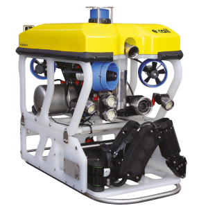
Seascan Mk2
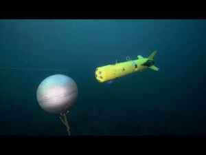
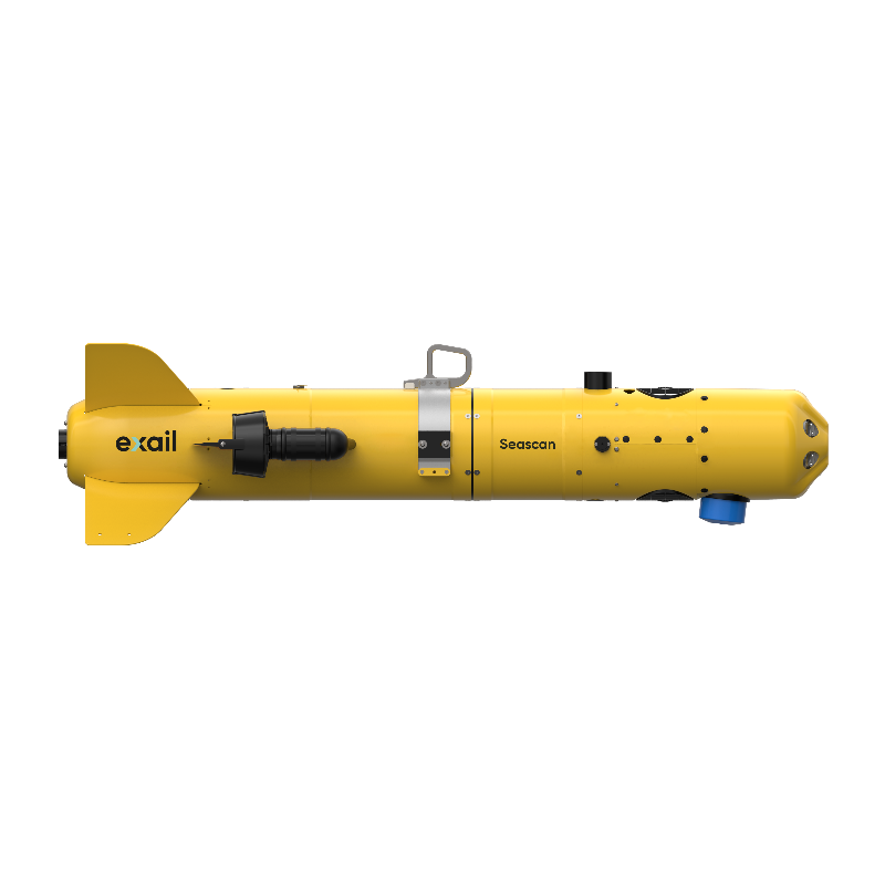
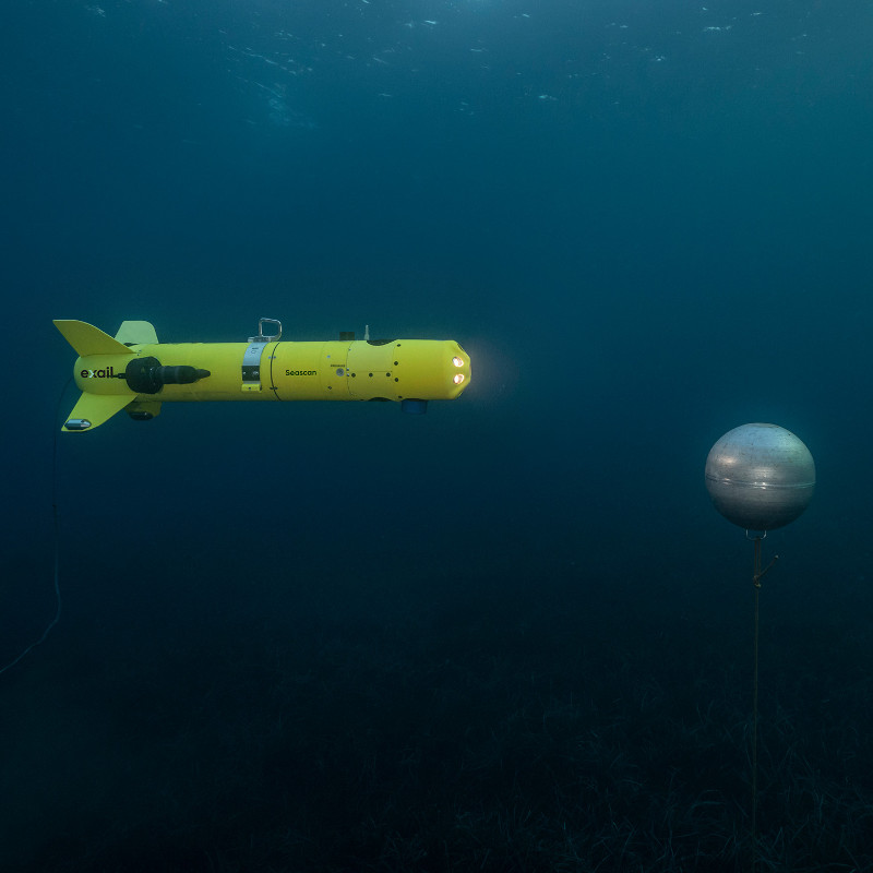
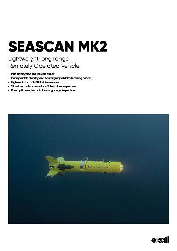
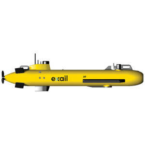
Seascan Mk2 is a light weight self-propelled ROV dedicated to inspection missions. Its unique architecture ensures second to none performances in terms of hovering capability and stability in turbulent water. The Seascan can be used for underwater mine identification, environmental discovering as well as the anchorage or hull checking.

Exail
Saint Germain en Laye, FR
Description
Seascan Mk2 is a light weight self-propelled ROV dedicated to inspection missions. Its unique architecture ensures second to none performances in terms of hovering capability and stability in turbulent water. Seascan can be used for underwater identifications, environmental discovering as well as the anchorage or hull checking.
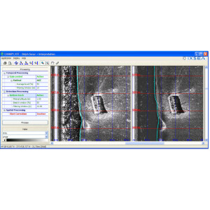
This self-propelled vehicle for inspection and identification allows for long range operations, compared to conventional ROVs, in harsh environmental conditions. It is fitted with a forward-looking sonar for target reacquisition and a set of 3 videa cameras for inspection and formal identification.
Easy to deploy from any kind of platform without the constraints of LARS, the user friendly command and control software offers auto piloting functions to improve mission efficiency.
High performances selfpowered ROV
Powered by a rechargeable battery, the Seascan takes benefit of the real time sensor data gathering through the optical fiber without the limitations of classical ROV having to tow its umbilical cable. Thus it will be preferred for harsh environmental conditions (strong current), in obstructed area where umbilical may be caught or for increased range inspection (e.g. water pipe).
To simplify the task of the operator and improve mission efficiency, it integrates auto-depth and auto-track modules intended to automatize ROV’s path to reach the minefield area, using previous cartography data.
Combined with Exail's expertise in naval drone, it can be fitted on a dedicated Launch and Recovery System (LARS) to be deployed from an USV (Unmanned Surface Vehicle)
Do you have questions about this product?
- Questions about price, availability, and/or retailers
- Questions about technical specifications and usage
- Questions about suitability for your project or application
Specifications
-
Vehicle
-
Type
Observation
Length [m]
1.58
Width [m]
0.5
Height [m]
0.43
Weight in air [kg]
50
Type of power
Electric
-
Environmental
-
Max. depth rating [m]
300
Max. operating temperature [°C]
35
Min. operating temperature [°C]
-1
-
Umbilical cable
-
Type
Fiber optic
Max. length [m]
1500
Diameter [mm]
1.8
Standard length [m]
1500
-
Controls and indicators
-
Scanning sonar option
Y
Optional manipulators
N
-
Speed and thrust
-
Max. forward [kts]
4
Number of vertical trusters
2
Number of lateral trusters
0
Number of forward trusters
2
Type of forward trusters
Electrical
Type of lateral trusters
NA
Type of vertical trusters
Electrical
-
Lights and cameras
-
Type of Lights
LED
Number of cameras
3
Type of cameras
Analogics cameras
Number of lights
2
-
Operation
-
Buoyancy
Positive
Automatic depth control
Y
Automatic heading control
Y
Auto pilot
Y
Dynamic Positioning
N
Documents
Brochure
exail-seascan-mk2-0.pdf
277.15 KB
Videos


