
Detekt
AI Road Inspection
With Detekt, you can leverage Mobile Mapping data to automatically detect road infrastructure objects – including road signs, road markings, road defects, and more.
Detekt
Description
Detekt leverages Artificial Intelligence to revolutionize urban infrastructure management. Specializing in the analysis, and visualization of geospatial data, Detekt transforms complex urban data into actionable insights for city planning and infrastructure maintenance.
Detekt empowers the city of Vienna to automate the assessment of roadside assets, achieving over 98% accuracy in road sign detection and substantially enhancing urban planning and maintenance strategies
Core Technologies and Modules
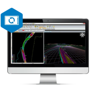
Analysis
Utilizes AI to accurately detect, classify, and locate road signs, markings, and road defects / pavement conditions.
Supports data from all major mobile mapping systems (Leica Geosystems, Trimble, Riegl, etc.) and ensures compatibility with various GIS formats, seamlessly integrates into existing systems.
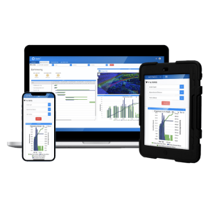
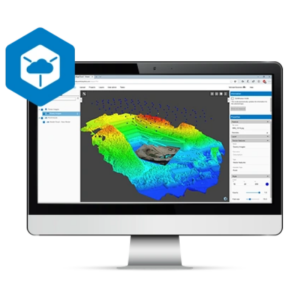
Visualization
Features the Detekt Viewer, an intuitive platform for real-time data visualization and interaction and smart measuring, enabling detailed analysis and informed decision-making.
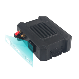
Capturing
Empowers organizations with street-level images and point cloud data for enhanced decision-making and operational efficiency through our partners TomTom and Leica Geosystems.


Integration Capabilities
Detekt is engineered for compatibility and integration with leading geospatial data systems, including Leica Pegasus, Teledyne FLIR Ladybug, and Trimble. This integration enables Detekt to process and analyze high-volume data from diverse sources, ensuring clients can leverage their existing technological investments without restrictions. This way, our commitment to interoperability enhances workflow efficiencies and allows for more comprehensive urban and environmental analyses.
Unique Selling Points
Flexibility: Detekt is manufacturer-independent and allows processing of data from any mobile mapping equipment.
Efficiency: Capable of delivering processed data in less than 72 hours, significantly faster and more cost-effective than traditional methods.
High Accuracy: Achieves superior accuracy rates, enhancing the reliability of urban infrastructure assessments.
What’s next?
Discover the potential of Detekt’s technology for your urban planning and infrastructure projects. Visit our website or reach out to us today to schedule a meeting or directly try out our demo from our website.

