
C-Nav LEO Pole-to-Pole PPP GNSS Correction Service
Survey Grade PPP Correction Service uniquely delivered via low earth orbit satellites
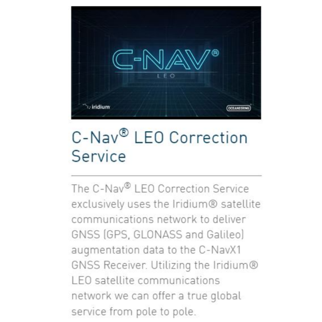
The C-Nav LEO Correction Service exclusively uses the Iridium satellite communications network to deliver GNSS augmentation data to the C-NavX1 integrated mobile receiver.
Oceaneering C-Nav Positioning Solutions
Aberdeen, GB
Description
C-Nav LEO Correction Services are a SaaS (Software as a Service) Subscription based service, whereby users pay a subscription fee which licenses the use of the service for a predetermined period of time. Subscriptions can be requested online via the C-Nav Authorisation Code Request Page (https://cnavauthcode.oceaneering.com) or by contacting a C-Nav Representative in your area.
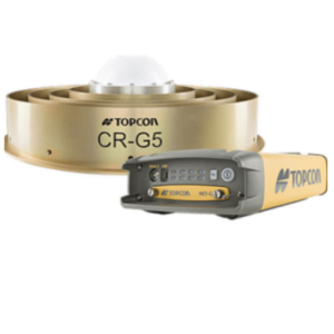
The only equipment needed to use the C-Nav LEO Corrections Services is a C-NavX1 integrated mobile receiver, with a GNSS antenna, an Iridium antenna and LTE antenna (optional).
C-Nav LEO uses GNSS PPP augmentation data to provide real-time corrections to errors in the GNSS broadcast navigation data, and errors in the GNSS signals as they propagate through the Earth’s atmosphere. Combining GNSS observations, broadcast navigation data and PPP augmentation data, delivered over Iridium, allows the integrated mobile receiver to compute and output centimetre level accuracy positions.
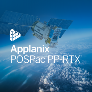
C-Nav will deliver the PPP GNSS augmentation services to their customers via the Iridium satellite communication network. Iridium is a Low Earth Orbit constellation (700km Orbits), and has higher power compared to other space-based communication systems which have orbits in the region of 32,000 km orbit whereas GNSS is 24,000km Orbit.
Iridium use 66 Satellites in its Low Earth Orbit (LEO) constellation in 6 orbits, providing fast-moving satellites, these allow the constant change of the satellites being tracked, and we can always see 2 - 4 satellites anywhere in the world at any time, including polar regions, allowing outages to be managed. The Iridium NEXT Constellation is shown in the Figure below.
Built-In Redundancy & Mitigation
The service has been designed with redundancy at its heart, and is built-in to all segments: ground, space, and algorithm.
The C-Nav LEO correction service is based on AWS, which provides for unlimited redundancy, with the C-Nav LEO correction service having multiple layers of redundancy, using multiple servers in different regions, equating to 4 backup systems. All data that is input to the algorithms on AWS is checked for reliability and quality whilst all output data is checked for quality and accuracy using QC algorithms, at all times.
C-Nav LEO users will always see between 2 and 4 satellites anywhere in the world, including the polar regions. This allows for up to 300% redundancy in the satellite communications link.
In the unlikely event that augmentation data is lost, the C-NavX1 positioning solution will maintain accuracy for up to 10 minutes allowing time for re-acquisition of the augmentation signal. The satellites in the Iridium constellation are always moving, this means that masking is reduced, and augmentation communication satellites are never low on the horizon. Iridium’s 66 military grade communication satellites have a low orbit of 700km, resulting in an increase in the power of the C-Nav LEO augmentation signal. This increased power mitigates the effects of intentional and unintentional interference with the augmentation signal, meaning that the augmentation signal is more reliable than signals delivered over GEOS communication satellites.
Specifications
-
Options
-
INS Integration
N
Interface
NMEA
Offline operability
N
Other
Pole to pole Iridium low earth orbit delivery
-
General
-
Compatible Receivers
C-NavX1
Year of introduction
2021
Area of application
Marine
Processing type
Real Time Correction Service
-
Requirements
-
Operating System
Windows
Hardware
C-NavX1 GNSS Receiver
-
Corrections base
-
RTK Corrections Via NTRIP Network
N
DGNSS
Y
SBAS
Y
Signal
Satellite
Other
Iridium Low Earth Orbit delivery
-
Technical specifications
-
Horizontal accurcacy (RMSE) {cm}
3
Vertical accuracy (RMSE) {cm}
7
Coverage
Truly worldwide - pole to pole
-
Miscellaneous
-
Subscription
Global, Regional, Local
Subscription plans
Flexible pricing plans all including Iridium delivery
Typical applications
Offshore Survey, Nearshore Survey, Dynamic Positioning, AUV, Seismic, Dredging
Support
24/7 Global Support Capability
Distinguishable features
Only GNSS PPP service delivered using Iridium Low Earth Orbit satellite constellation

