Seapath OEM Series
Embedded heading, attitude and positioning sensor
The Seapath OEM is developed specifically for embedded solutions where high precision heading, position, roll, pitch, heave and timing are critical measurements. The product combines state-ofthe-art dual frequency GNSS receivers (GPS/GLO/GAL/BDS), inertial technology and processing algorithms in a small size package.

Kongsberg Discovery
Horten, NO
Description
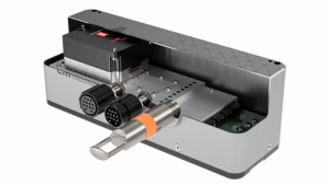
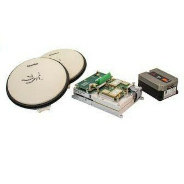
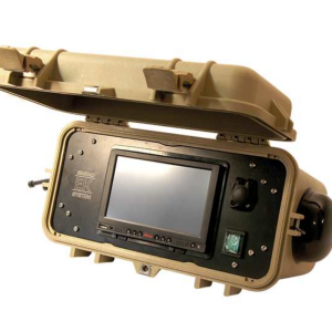
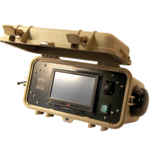
Product components
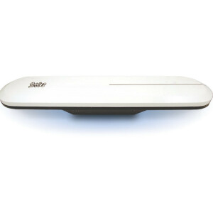
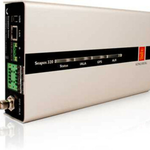
The main component is the Processing Unit with the motherboard and GNSS receivers. The Processing Unit is typically mounted in an enclosed compartment within an Unmanned Surface Vehicle (USV) together with the miniMRU inertial sensor unit. The two GNSS antennas are mounted on the USV deck with free selected distance between them. The Seapath operator software is installed on a connected PC for configuration and monitoring. The Seapath OEM has in addition to the miniMRU connection, three configurable serial lines, DGNSS (Differential GNSS) correction input, 1PPS output, network communication and power inlet.
Interfaces
The product has three configurable RS-232/422 serial lines and Ethernet for output of motion data and NMEA messages to the multibeam and survey computer. Input of DGNSS corrections of various quality and sources are input on a configurable RS-232/422 serial line or Ethernet.
Function
The advanced Seapath navigation algorithms integrate the RTK GNSS data with the inertial sensor data. This gives the Seapath OEM unique advantages compared to standalone RTK products. The Seapath product’s accurate roll, pitch and heading measurements allow the RTK antenna position to be referenced to any point on the vessel where accurate position and velocity are required. All the data from Seapath have the same time stamp and the output is in real-time. Subdecimetre position accuracy can be achieved through download of satellite orbit and clock data from internet and by post processing of satellite and IMU (Inertial Measurement Unit) data. The Seapath is robust against GNSS dropouts by using the inertial sensor for dead reckoning navigation in order to provide position, velocity and also heading measurements when GNSS is not available.
Do you have questions about this product?
- Questions about price, availability, and/or retailers
- Questions about technical specifications and usage
- Questions about suitability for your project or application
Specifications
-
General
-
Type of application
Marine
Documents
Brochure
kongsberg-seapath-oem-series-gnss-ins-series.pdf
1.23 MB

