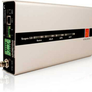
SeaNav 300
The Seanav 300 Navigation Sensor Is Tested and Approved in Accordance With International Regulations as a THD (Transmitting Heading Device), and Has Wheelmark Certification
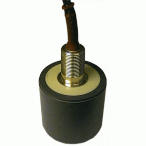
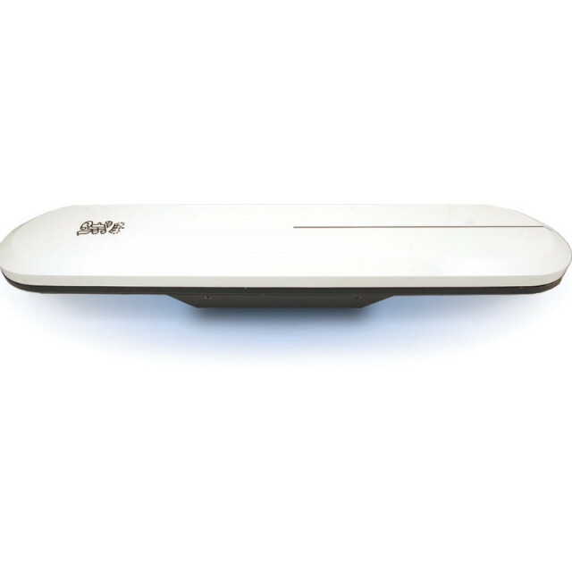
The SeaNav 300 provides position and true heading output with no moving parts. The instrument has the potential of replacing several vessel instruments with one compact navigation package (gyrocompass, GNSS receiver equipment, speed log and rate of turn) which outputs heading, position, velocity and rate of turn.

Kongsberg Discovery
Horten, NO
Description
Features
- True heading anywhere on Earth
- 0.5º heading accuracy
- Heading accuracy unaffected by the latitude
- Heading available in periods of GNSS drop-outs
- Compliant with WAAS, EGNOS and MSAS Satellite-Based Augmentation Systems
- Replaces several instruments with one robust, integrated product
- Only paired cable (no coax) between the mast unit and the equipment on the bridge20 Hz update rate on heading, rate of turn and position measurements (configurable)
- Output of data on Ethernet
- 1PPS out synchronization signal
Integration
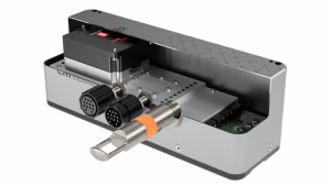
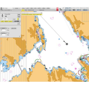
The SeaNav is designed for integration with other navigation equipment and will, as default, be configured and operated from an ECDIS without needing a separate external display. The Sensor Unit contains two GNSS receivers and an inertial rate sensor. All operations and functionality are handled from the ECDIS in an integrated bridge system.
Performance
The precision heading is derived from the fixed-distance dual GNSS antenna arrangement in the antenna module, using carrier phase data to generate heading information independent of latitude and vessel dynamics. GNSS (GPS and GLONASS) position and velocity are calculated from both of the two antennas, which gives the total redundant position and velocity sources in this product. The input of DGNSS corrections or reception of SBAS (WAAS/EGNOS) signals may improve position accuracy. The inertial element provides yaw information. In case of short GNSS signal loss, the inertial sensor automatically takes over as the prime source for heading determination until the GNSS returns online. The rating element and GNSS work together seamlessly, ensuring accurate, continuous and robust heading and position information.
Installation/maintenance
All electronics are placed within the antenna module, and the unit is, by default, delivered with a bracket for easy mounting. The unit needs power and a signal cable. It requires no scheduled maintenance or recalibration. The unit is easily configured using the built-in WEB user interface (UI). Software updates are supported via the WEB UI but also the locally available USB interface will automatically detect new software when a USB storage device is inserted. The update will be accomplished without interfering with the existing configuration. The latest software will continuously be available for download from an FTP server hosted by KONGSBERG.
Do you have questions about this product?
- Questions about price, availability, and/or retailers
- Questions about technical specifications and usage
- Questions about suitability for your project or application
Specifications
-
General
-
Type
Documents
Brochure
datasheet-seanav300-3.pdf
862.05 KB

