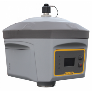
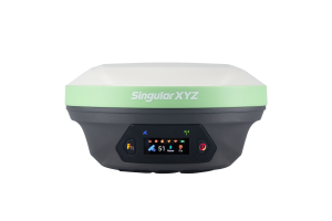
INSIGHT V1
Imaging RTK Insight V1 surveying system
SOUTH brand-new image RTK Insight V1 surveying system consists of Galaxy G6 and image acquisition system which combined with new point positioning technology--Touch. It crosses space obstacles and sweeps measurement blind area by taking three pictures to obtain the target coordinate information.(unreached points with ordinary RTK system)
SOUTH Surveying & Mapping
Guangzhou, CN
Description
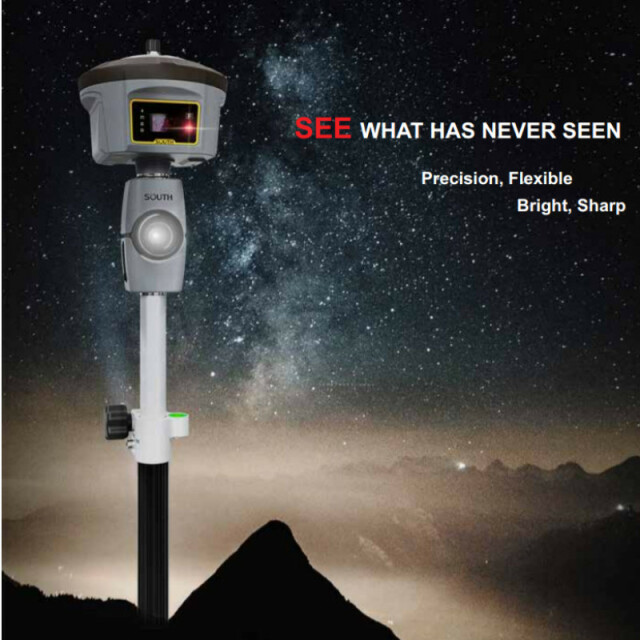
Sweep signal blind area
Like an eye of RTK receiver, V1 is able to reach the point in blind area where there is no or weak satellite signals, such as crack between buildings, or special point under eave.
Visual extension
Combines with GNSS RTK positioning and image acquisition technology, and adopts coordinate information of RTK, V1 is able to extend point coordinate to where without satellite signals, effectively expanding working area .
Avoid risk measurement
Rely on its keen senses of sight, V1 captures precision point coordinate away from that dangerous place, like the point locates at the middle of the road, or the point close to high-tension transformer, ensures the safety of surveyors while they are working.
Specifications
-
Power
-
Operating time with internal power supply [hr]
10
-
General
-
Type
Land
Year of initial introduction
2019
Total Weight [kg]
0.7
Housing Material
Magnesium alloy
-
Communication: general
-
Bluetooth
N
-
Environment
-
Operating temperature: min. [°C]
-20
Operating temperature: max. [°C]
50
Water sand and dust proof
IP67
Related products


