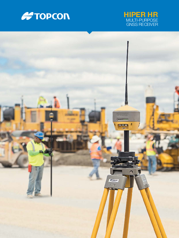
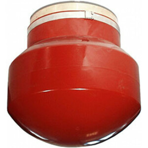
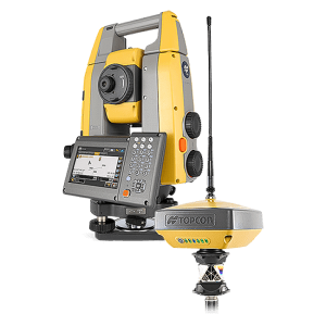
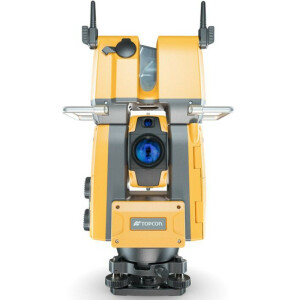
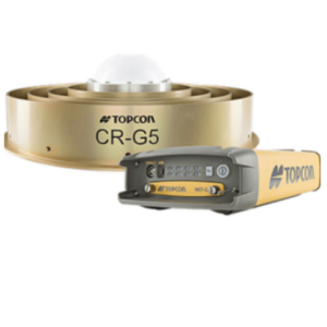
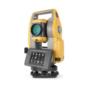
HiPer HR
Multi-Purpose GNSS Receiver
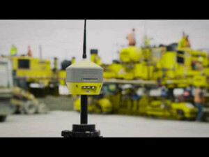
Compact, rugged and advanced, the Hiper HR is the right receiver for a broad range of applications. The HiPer HR is built with a rugged aluminium-alloy housing, not weak plastic, so it can take the punishment of the job site.

Topcon
Capelle aan den IJssel, NL
Description
Set yourself free to work
The HiPer HR GNSS receiver overcomes field challenges with a unique blend of technologies. If you're under tree cover, or can't get the pole plumb, or need to range widely from your base, or you need superb accuracy, or work in wet conditions, or all of the above, you'll be free to do your best work.
As part of the Elite Survey Suite hybrid positioning solution, using network correction, mounted to a vehicle or grade checking with Millimeter GPS, or an almost countless number of applications, the HR combines the features to help you succeed.
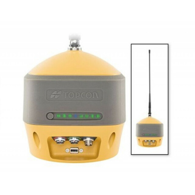
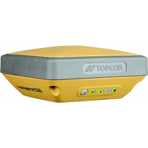
- Next-generation Fence Antenna for superior reception
- Rugged, waterproof IP67 environmental design
- Cellular, LongLink and Radio communications are all integrated
- 452 Universal Tracking channels
- Unique 9-axis TILT™ compensation
- Internal Wi-Fi and multi-spectrum Bluetooth
- Removable, hot-swappable batteries
Do you have questions about this product?
- Questions about price, availability, and/or retailers
- Questions about technical specifications and usage
- Questions about suitability for your project or application
Specifications
-
General
-
Height [m]
0.132
Depth [m]
0.115
Width [m]
0.115
Total Weight [kg]
1.172
Housing Material
Aluminum-alloy housing
Type
Land
-
Performance
-
Max. simultaneous tracked channels
452
Tracked satellite signals
GPS: L1 C/A, L1C, L1P(Y), L2P(Y), L2C, L5.GLONASS: L1 C/A, L1P, L2 C/A, L2P, L3CGalileo: E1, E5a, E5b, E5AltBOC, E6BeiDou: B1, B2, B3 with ICD availabilityIRNSS: SPS-L5QZSS: L1 C/A, L1C, L2C, L5, LEX
SBAS differential signals
WAAS/EGNOS/MSAS
RTK Network Compatibility
Y
No. channels
452
-
Environment
-
Operating temperature: min. [°C]
-40
Operating temperature: max. [°C]
80
Water sand and dust proof
IP67
-
Horizontal uncertainty
-
phase: RTK rapid static (constant part) [m]
0.003
phase: RTK rapid static (variable part) [ppm]
0.1
phase: RTK kinematic (constant part) [m]
0.005
phase: RTK kinematic (variable part) [ppm]
0.5
-
Power
-
Operating power: min. [V]
6
Operating power: max. [V]
28
Internal power supply
3.7V, 5200 mAh & 7.2V, 2900 mAh
Operating time with internal power supply [hr]
9
Rechargeable with (auto)battery
Y
-
Recording
-
Memory medium
Internal
Data capacity [MB]
8000
Type of data (on board recording)
TPS, RTCM SC104 v2.x, 3.x, CMR/CMR+, RINEX
-
More information
-
Distinguishable features
Compact, lightweight, rugged design - capable of withstanding a 2 meter pole drop. Five unique data communications options. All signals, all stellites, all constellations. Field tested, field ready IP67 design. Compact form factor ideal for Millimeter GPS and Hybrid Posititioning. Revolutionary 9-axis IMU and ultra-compact 3-axis eCompass.
Documents
Brochure
migrationejgccg.pdf
564.87 KB
Other documents
-
Datasheet (2)127.47 KB
Videos


