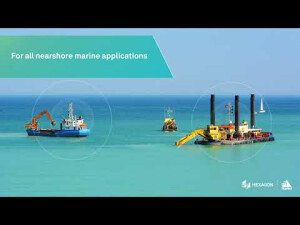


Oceanix Nearshore
Oceanix Nearshore correction service delivers exceptional centimetre-level positioning for diverse marine applications including dredging, hydrographic survey and mapping. The high-rate corrections broadcast enables carrier phase ambiguity resolution within the GNSS receiver, greatly enhancing the accuracy and speeding recovery from GNSS signal interruptions.

NovAtel
Calgary, CA
Description
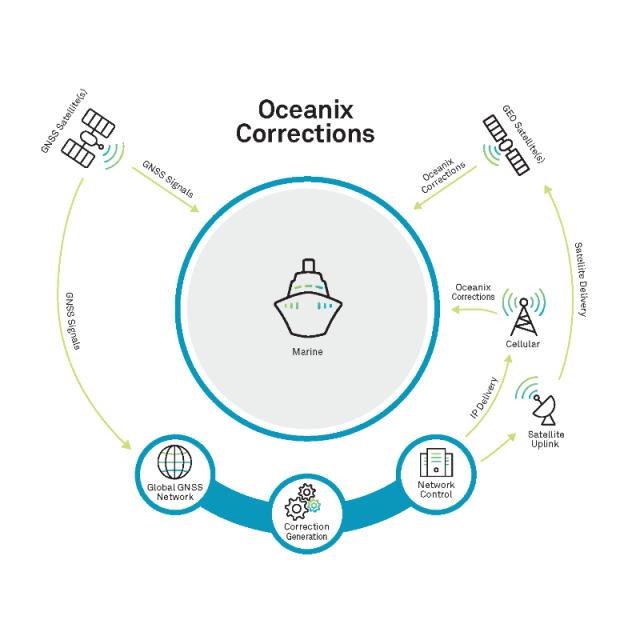
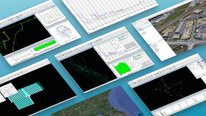
How correction services work
Explore how correction services work using our 3D interactive application.
Unmatched reliability and accuracy
Oceanix Correction Service delivers high-accuracy solutions globally, enabling centimetre-level positioning in as fast as three minutes1,2 in all marine environments. NovAtel is in the unique position of controlling the entire correction data generation process and the positioning algorithms that drive GNSS receiver performance. Combining our world-leading GNSS hardware with our robust correction service and integrated support delivers a seamlessly integrated high-performance solution.
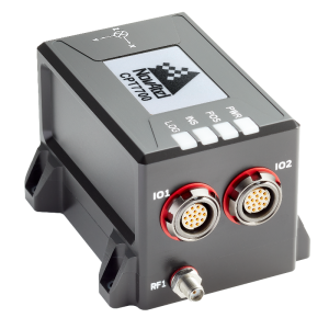
1. Performance specifications subject to GNSS system characteristics, Signal-in-Space (SIS) operational degradation, ionospheric and tropospheric conditions, satellite geometry, baseline length, multipath effects and the presence of intentional or unintentional interference. Best performance achieved with OEM7700 and GNSS-850 antenna. Signal content is subject to change.
2. Oceanix enhancements with RTK From the Sky technology supported on 7.08.14 firmware. The best performance is achievable with hardware support for all signals (full frequency, multi-constellation).
Total solution design
Oceanix users get the best performance and experience from NovAtel systems. Long-trusted for high-precision positioning technology, NovAtel's corrections, positioning algorithms and hardware are designed side-by-side to ensure a seamless solution with powerful performance. The result is 24/7/365 operations anywhere in the world.
Do you have questions about this product?
- Questions about price, availability, and/or retailers
- Questions about technical specifications and usage
- Questions about suitability for your project or application
Specifications
-
Options
-
INS Integration
Y
Offline operability
Y
Other
Control over entire data generation process
-
General
-
Area of Application
Marine
Type
Real Time Correction Service
Compatible Receivers
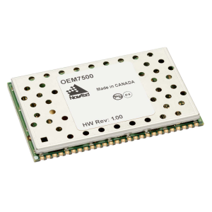
Supported on all NovAtel OEM7® platforms
Area of application
Marine
Processing type
Real Time Correction Service
-
Requirements
-
Operating System
-
Corrections base
-
DGNSS
Y
SBAS
Y
Signal
Satellite
Other
Corrections data delivered via geostationary satellites for worldwide coverage
-
Technical specifications
-
Coverage
Global
Horizontal accurcacy (RMSE) {cm}
2.5
Vertical accuracy (RMSE) {cm}
5
-
Miscellaneous
-
Subscription
Global
Subscription plans
Oceanix correction service is offered with multiple subscription durations.
Distinguishable features
Proprietary network with over 80 strategically located GNSS reference stations globally
Support
Customer support for the entire positioning solution from NovAtel
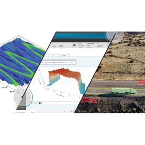
Typical applications
Marine hydrographic survey, dredging, mapping, coastal patrolling and other non-oil and gas marine applications
Documents
Brochure
migrationmqtoqh.pdf
5.36 MB

Videos


