
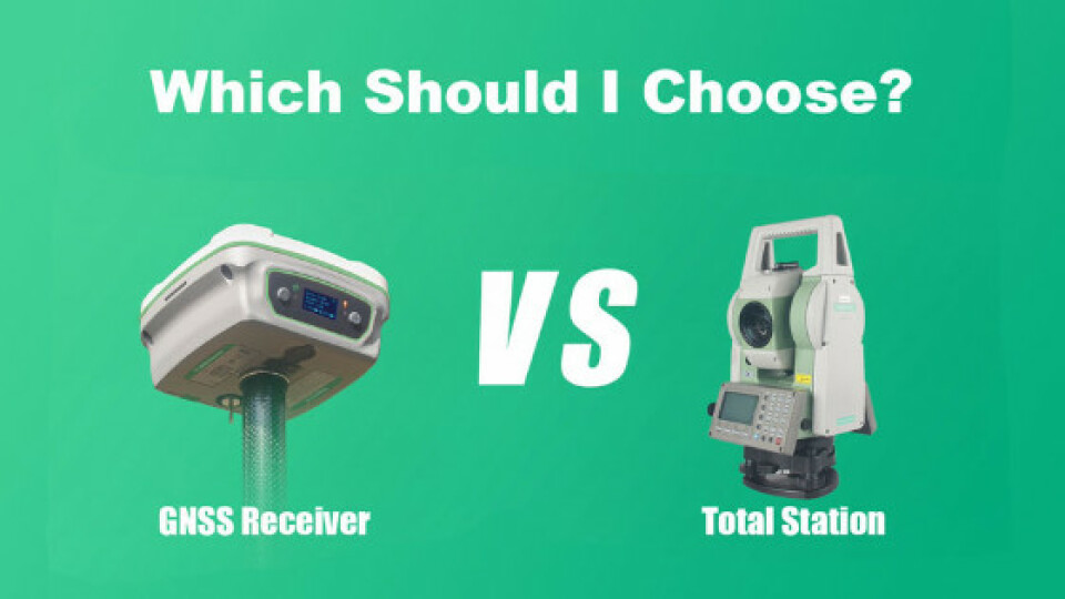
Tech Chat | Which should I choose? - Total stations VS GNSS RTK receivers
With the development of the surveying industry, the mainstream surveying instruments on the market mainly include two types, one is the representative of traditional optical surveying - total station, and the other is the representative of emerging satellite-based surveying - GNSS RTK receiver. Some surveyors prefer a total station, some prefer an RTK receiver, but still some are wondering which one should I choose? What's the difference between them? Let’s find out in this blog.
With the development of the surveying industry, the mainstream surveying instruments on the market mainly include two types, one is the representative of traditional optical surveying - total station, and the other is the representative of emerging satellite-based surveying - GNSS RTK receiver.
Some surveyors prefer a total station, some prefer an RTK receiver, but still some are wondering which one should I choose? What's the difference between them? Let’s find out in this blog.
Conditions of Use
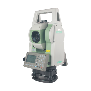
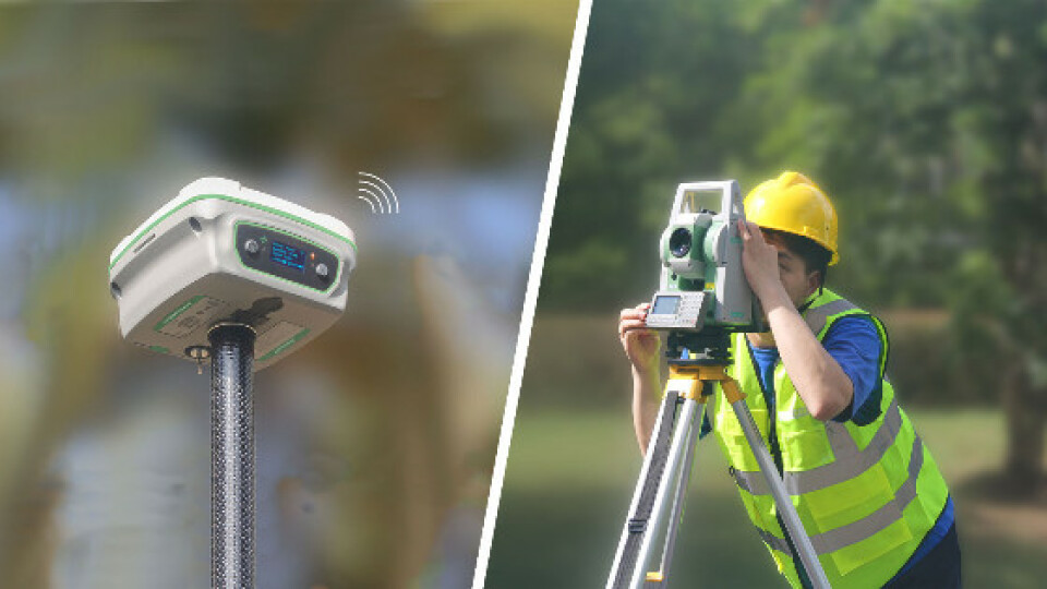
Total station
1. Visible Light
A total station is an optical instrument that requires the human eye to actively focus on a target, then measure and calculate distances, angles, and coordinates. If there is no visible light or the light is too weak, it is difficult for the human eye to find the observation target, so there must be a good visible light environment.
2. Mutual visibility
There must be no obstructions on the line between the target to be observed and the total station. If there is an obstruction, the human eye will not be able to aim at the target, or the observation condition of the total station is poor, so that the data cannot be measured.
The above two points are the conditions that must be met when using the total station for measurement.
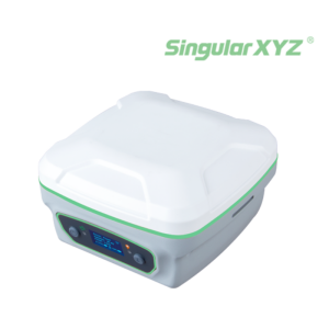
GNSS RTK Receiver
1. Environment for satellites searching
GNSS receiver measurement is based on satellites so that it needs a stable environment for satellites searching.
- No heavy occlusion of the sky.
- No strong interference for satellite signals
2. Wireless connection
GNSS receivers need to receive the differential data to correct the positioning data. The wireless transmission mainly includes radio and network, which are realized through the internal/external radio of the receivers or the insertion of a mobile phone card.
Compared By Measuring Distance
Total stations are short-range surveys. Nevertheless, the maximum distance of total station without prism is about 1000 meters, and the distance can reach 7-10km with special prisms. However, due to the limitations of intervisibility and the range of the human eye, it is meaningless to be too far away. If the points to be measured are far apart, the total station needs to be moved several times to complete the measurement.
GNSS RTK receiver can work as long as it can receive radio or network signals. However, its working distance is usually within 15 kilometers due to the limitation of the base station error. Therefore, in conventional surveys, it is usually only necessary to establish a base station once to complete the survey work.
Compare in Terms of Measurement Accuracy & Error
Total Station
1. Measurement accuracy
In the measurement range, the surveying accuracy of total station can reach millimeter-level, which can meet the requirements of some projects that need extreme high accuracy.
2. Error analysis
In general, the total station cannot complete all the measurement at one station point, and it needs to move the station for the next set of measurements, and then move to another station again, and measurement errors will appear at this time. Since the measurement of each station cannot be absolutely correct, there are certain errors. The more times the station moves, the larger the error accumulation is, which is called the error propagation theory in measurement. Without adjustment, the accuracy of the last point will be poor, which cannot be avoided with a total station.
GNSS Receiver
1. Measurement accuracy
In the measurement range, the surveying accuracy of GNSS receivers can reach centimeter-level, which can meet the requirements of most projects.
2. RTK error analysis
The principle of RTK measurement is that the comparison between the reference station and the mobile station is called difference, or the exact relative position between the two is obtained. The precision plane of the line between them is 8mm+1ppm×D(the error increases by 1cm for each kilometer of distance). Each point measured by the mobile station is the result of comparison with the data of the reference station. The position of the reference station is fixed, so the error of each point measured by the mobile station is relative to the reference station, rather than the two points between the two adjacent points like the total station. In this way, there is no error propagation and no error accumulation in the RTK.
Working Efficiency
Total Station
In the surveying work, generally two people are required to carry out the total station measurement, one person is responsible for the total station observation, and the other holds the prism. And when two surveyors are far away, it is usually necessary to use a walkie-talkie to communicate.
GNSS Receiver
The configuration of GNSS receivers is much easier than total stations. Surveyors only need to config on the data collector and don’t have to centering and leveling. During the surveying and stakeout work, it only needs one person to finish all the tasks.

In conclusion, compared with total station, GNSS receivers are more convenient and efficient, and only one surveyor is needed. However, when it comes to some indoors projects or extreme high accuracy projects such as bridge projects, the total station is still irreplaceable. You can choose the equipment based on your project requirements and your using habits.
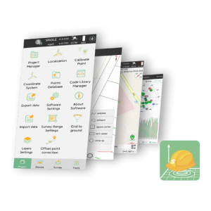
But for some large projects, a combination of both GNSS receiver and total station can bring higher efficiency. SingularXYZ team provides a convenient way to conduct both tasks under the same project file with the same projected coordinate system via SingularPad software.
About SingularXYZ®
SingularXYZ Intelligent Technology Ltd. is focused on high precision GNSS PNT (Positioning, Navigation & Timing) technology, extending its coverage to horizontal and vertical industries, which mainly include geospatial information, precision agriculture, machine control, robotics, telecommunications, IoT and etc., providing customers with reliable, stable and professional products, solutions and service.
Do you have questions about this article?
Get in touch with SingularXYZ Intelligent Technology Ltd., and they would be happy to answer any questions you have about pricing, suitability, availability, specs, etc.


