Hydrographic Survey with Aquatic Drones and CARIS Onboard
The Dutch government is currently focusing on autonomous technologies. Autonomous cars can already be found on Dutch highways and now Rijkswaterstaat (The Ministry of Infrastructure and Water Management) has also started to automate survey processes on rivers, together with the company Aquatic Drones. The use of autonomous vehicles creates new opportunities for traditional surveys. Equipped with hydrographic instruments, the vehicles can collect data remotely in increasing volumes, in challenging environments and with less risk to personnel.
One of the challenges will be the quantity of the data collected and having to post-process it. Traditional methods with acquisition and post-processing software will have to be abandoned. The data coming directly from the multibeam or side-scan sonar can be directly entered into the processing software without the need of acquisition software. Aquatic Drones, together with Teledyne CARIS and partners, carried out a successful pilot for Rijkswaterstaat on the River IJssel in the Netherlands, demonstrating the capabilities of ASVs and new solutions for autonomous processing.
The payload of aquatic drone
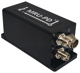
The aquatic drone was equipped with Teledyne CARIS Onboard, Teledyne Reson T-20P, Teledyne Reson PDS,Ixblue Phins and Septentrio AsteRx-U GNSS systems from Navigation Solutions. The survey systems offsets were accurately measured by Star Mountain. PDS was mainly responsible for the line planning, while CARIS Onboard took care of the innovative processing. Communication for the controls of the aquatic drone and CARIS Onboard data transmission was made possible by a regular 3G / 4G cellular network from T-Mobile.
Geospatial data for the area around Doesburg was downloaded from the Dutch national PDOK website to enable mission planning and for live analyses during the survey mission. The Dutch National Spatial Data IInfrastructure(PDOK) is a central facility for unlocking geo-datasets of national importance. This is up-to-date and reliable geospatial data for both the public and private sectors.
Before the survey, a processing workflow was defined and uploaded to CARIS Onboard. The user can define its processing workflow based on the needs of the survey project and can even alter the workflow during the mission where needed. The settings were remotely uploaded to the aquatic drone using the CARIS Onboard geospatial Web App. The workflows are based on the known CARIS HIPS and SIPS Processes.
Hydrographic Survey with Autonomous Survey Platform
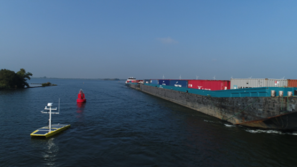
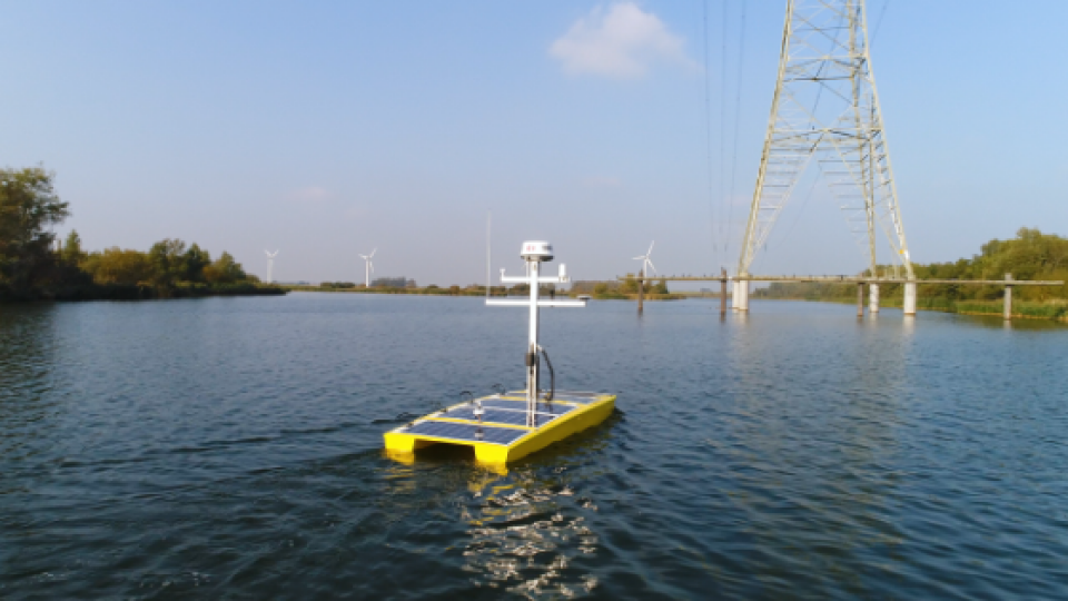
The platform used for the mission was provided by Aquatic Drones. The aquatic drone is designed so that the platform can be used as a multi-purpose drone. In addition to the pilot Multibeam survey, the aquatic drone also carried out sub-bottom surveys to identify Unidentified Explosives and can be tailored to host other sensors. The USV has a twin hull and a large cargo bay to house the hardware for the controls of the sensors. The aquatic drone can survey for about 12 hours before a battery has to be changed and can sail in strong river currents. The Reson T20-P was installed between the two hulls for this particular mission. To perform the mission and to ensure safety, Aquatic Drones designed and integrated a sophisticated obstacle avoidance technology.
Autonomous Survey Platform
The platform used for the mission was provided by Aquatic Drones. The aquatic drone is designed so that the platform can be used as a multi-purpose drone. In addition to the pilot Multibeam survey, the aquatic drone also carried out sub-bottom surveys to identify Unidentified Explosives and can be tailored to host other sensors as well. The USV has a twin hull and a large cargo bay to house the hardware for the controls of the sensors. The aquatic drone can survey for about 12 hours before a battery has to be changed and can sail in strong river currents. The Reson T20-P was installed between the two hulls for this particular mission. To perform the mission and to ensure safety, Aquatic Drones designed and integrated a sophisticated obstacle avoidance technology.
Do you have questions about this article?
Get in touch with Teledyne Geospatial, and they would be happy to answer any questions you have about pricing, suitability, availability, specs, etc.


