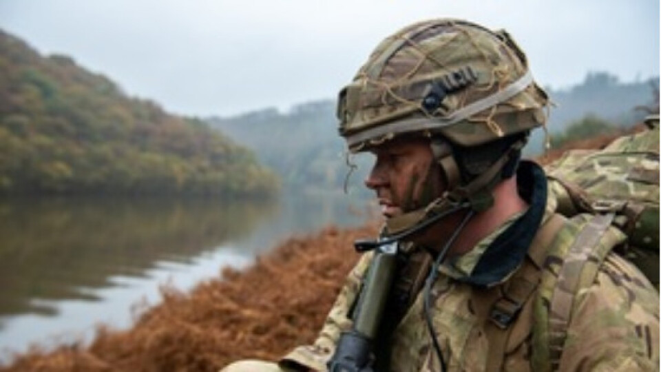
Amphibious vehicle auto-pilot for British Army
The team at Dynautics recently worked closely with Ultrabeam Hydrographic on a MoD Defence and Security Accelerator (DASA) funded project, ‘Map the Gap’, run on behalf of the Defence Science and Technology Laboratory (Dstl). Ultrabeam, in conjunction with Foundry Cube Ltd (a subsidiary of Ultrabeam Limited), was awarded one of five contracts to develop a remotely-operated reconnaissance aid to help British Army troops safely and stealthily advance across water obstacles in enemy territory.
Crossing challenge
Currently, the only way of identifying suitable water crossing points is to send Royal Engineer reconnaissance troops to survey both banks of the river – exposing them to danger which also risks compromising the operation by signalling interest in that location to the enemy. The aim, therefore, is to ultimately remove personnel from these dangerous tasks with a remote system that allows more crossing locations to be surveyed, increasing the choices available to commanders and giving them an opportunity to surprise the enemy.
Tailored solution
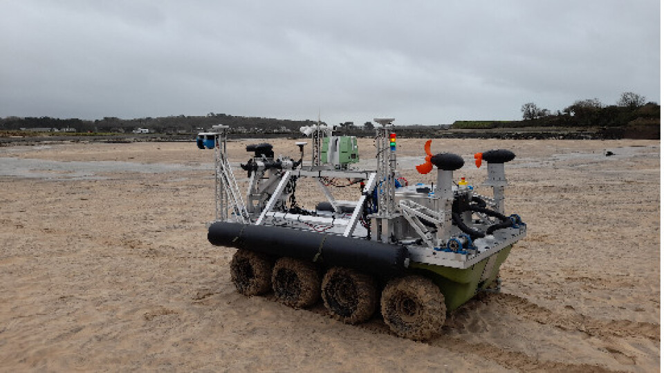
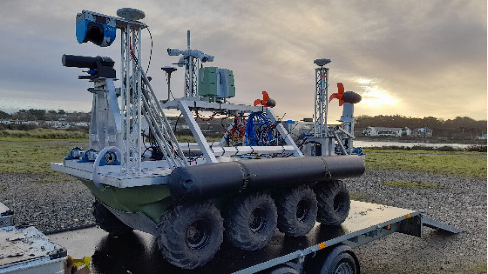
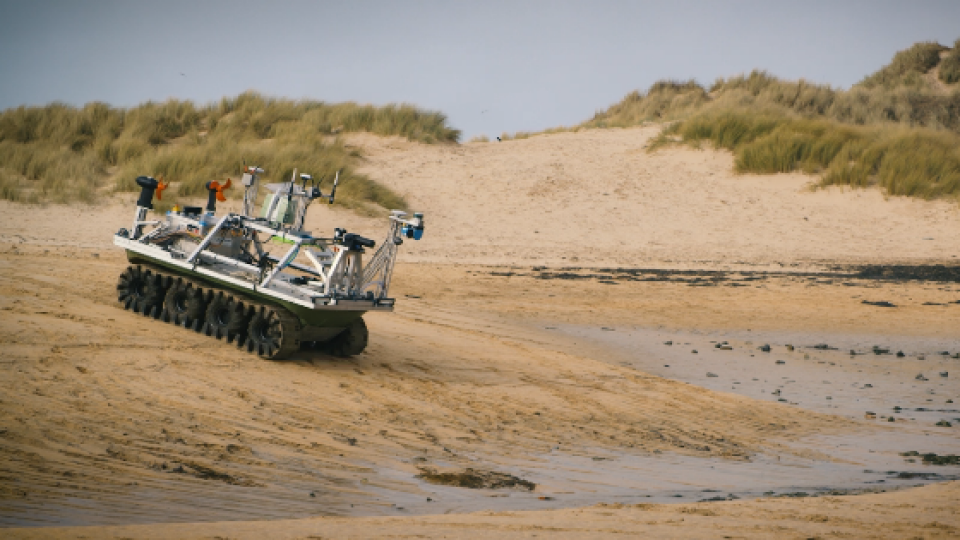
Ultrabeam’s goal was to demonstrate the capabilities of their autonomous and amphibious hydrographic survey vehicle – the Argocat – in meeting the challenges of this crucial work.
As a strategic partner, Dynautics is sharply focused on the ultimate goals of its customers and the team immediately started work on honing autopilot specifications to support the Ultrabeam team in achieving its mission. Dynautics’ key task was to develop its MicroSPECTRE autopilot hardware to drive the Argocat. This included the consideration of joystick-based remote operation; the ability to follow a straight-line heading or pre-planned mission tracks; steering, heading control and track keeping both for land and waterborne operations and collision avoidance measures.
---
“We thrive on new integration challenges to existing systems. The team had never attempted to control a vehicle both on land and in the water before, but we were able to adapt our SPECTRE Autopilot quickly and effectively. It goes to show really how robust and capable our solutions are.”
Henry Robinson, Dynautics CEO
---
Successful field trials
Dynautics’ autopilot products enable tight heading and speed controls, track following (including event management at waypoints), vehicle following, collision avoidance, attitude and depth control as well as hovering and dynamic positioning. Traditionally used for marine vessels, such as uncrewed surface vessels (USVs), adapting MicroSPECTRE for an amphibious vehicle was a new challenge that the team rose to, with successful field trials being completed in December 2020.
Moving forward
The second phase of the Map the Gap project has now been launched and Dynautics continues to work closely and collaboratively with Ultrabeam Hydrographic.
Watch the video below for more info on the Argocat and phase 1 trials
:
Related products


![3月21日-封面[1].jpg](https://cdn.geo-matching.com/voeE1ywo.jpg?w=320&s=6b3b1a0215d770f8797653e9202a8f52)


