![Xponential 2024.jpg](https://cdn.geo-matching.com/Vo1zlg4R.jpg?w=300&s=08770498909d5dcdba6b21e9c15f1fc0)
![YouTube Banner.png](https://cdn.geo-matching.com/voaw7brn.png)
Showing 1-9 of 36 results
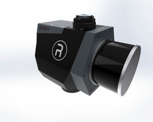
![Xponential 2024.jpg](https://cdn.geo-matching.com/Vo1zlg4R.jpg?w=300&s=08770498909d5dcdba6b21e9c15f1fc0)
![Inertial Labs RESEPI-GEN-II. JPG.jpg](https://cdn.geo-matching.com/ZprlN9zR.jpg?w=300&s=29f9e0e374efd0d548e9a5a03127c678)
RESEPIâ„¢ LiDAR Remote Sensing Payload Instrument GEN-II revealed at Geo Week 2024
![1692083671298.png](https://cdn.geo-matching.com/4p7rv1Qn.png?w=300&s=a7f20632418e2f57f245c340edb5080c)
Mine Mapping: The Power of RESEPI XT-32M2X LiDAR Payload
![hqdefault (1422).jpg](https://cdn.geo-matching.com/0nvGK2p2.jpg?w=300&s=7aa873948d32e43e289e252abe129c7d)
Bridge Inspection - LiDAR Drone Data review with DJI M300 and ROCK R2A
![hqdefault (1431).jpg](https://cdn.geo-matching.com/En5631p5.jpg?w=300&s=f9674608a58a46afbad71115f487f681)
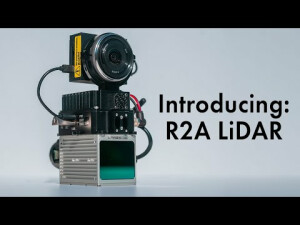
Introducing the ROCK Robotic R2A LiDAR Mapping System
![hqdefault (1430).jpg](https://cdn.geo-matching.com/vRM5OkRY.jpg?w=300&s=f645bbac45605800b9bf18b946a68291)
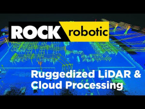
Rock Robotic LiDAR Platform
![hqdefault (1429).jpg](https://cdn.geo-matching.com/WRZD09pL.jpg?w=300&s=52129413a0118317ff60f88f713d5f33)
Don't buy the DJI Zenmuse L1 until you've seen this! ROCK vs RIEGL vs DJI
![hqdefault (1423).jpg](https://cdn.geo-matching.com/EoOlDLR0.jpg?w=300&s=ae3262096eddf4b5970765f16ff715d0)
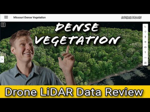
LiDAR drone Data processing and a review: Dense Vegetation
![hqdefault (1424).jpg](https://cdn.geo-matching.com/DR3P64nK.jpg?w=300&s=941c92470dd8b3459575c67119043bcf)