![hqdefault (989).jpg](https://cdn.geo-matching.com/1o4ZP2nG.jpg?w=300&s=fdf39b703ff2361df0d95d3d56f43b65)
![terra-kv-webpage.jpg](https://cdn.geo-matching.com/ZpzPaKRK.jpg)
Showing 1-6 of 6 results
![hqdefault (989).jpg](https://cdn.geo-matching.com/1o4ZP2nG.jpg?w=300&s=fdf39b703ff2361df0d95d3d56f43b65)
![hqdefault (807).jpg](https://cdn.geo-matching.com/MpVj78pe.jpg?w=300&s=f904a08acdf4451407eabc35e5d527f8)
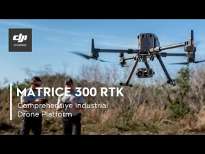
DJI Enterprise Matrice 300 RTK and Zenmuse H20 Series - Comprehensive Industrial Drone Platform
![hqdefault (792).jpg](https://cdn.geo-matching.com/6py3gZRj.jpg?w=300&s=da8eedda35f8cbb36262ab1e32731b15)
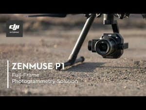
DJI Enterprise Zenmuse P1 - Full-Frame Photogrammetry Solution
![hqdefault (800).jpg](https://cdn.geo-matching.com/3n8lzrn5.jpg?w=300&s=571777ba68fd3e2652b2da7a3729576e)
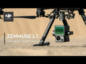
DJI Enterprise Zenmuse L1 - Versatile LiDAR Solution
![hqdefault (793).jpg](https://cdn.geo-matching.com/WRZMQxoL.jpg?w=300&s=6a0338ce2ffb65367c6bcc406cdc71e0)
P4 Multispectral - Multispectral Imaging Drone Solution
![hqdefault (794).jpg](https://cdn.geo-matching.com/vRMB1ZnY.jpg?w=300&s=5a419860c0c00671134beb1835ba4171)