![dam-monitoring-h3-gnss-receiver-deformation-prevention.jpg](https://cdn.geo-matching.com/yRQQY5ZR.jpg?w=480&s=010a057b8d72828aaa9b649b7994ba58)
![geomat-2-1.jpg](https://cdn.geo-matching.com/1pA7W1RP.jpg)
![chc-navigation-logo.png](https://cdn.geo-matching.com/EnkB91R5.png)
Showing 1-9 of 51 results
![dam-monitoring-h3-gnss-receiver-deformation-prevention.jpg](https://cdn.geo-matching.com/yRQQY5ZR.jpg?w=480&s=010a057b8d72828aaa9b649b7994ba58)
![alphaair-10-lidar-uav-aerial-survey-open-pit-mines.jpg](https://cdn.geo-matching.com/qoDdBaXo.jpg?w=480&s=28b7d5dd741a2b81e6ed22fd62036609)
LiDAR Mapping in Open-Pit Mining: Pioneering Efficiency and Safety
![RS10-1_副本 (4).png](https://cdn.geo-matching.com/En53YDxo.png?w=480&s=dcaeb7245287e4160290f4705ba88c7a)
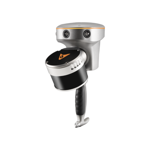
CHCNAV Unveils RS10: A Revolutionary Integrated Handheld SLAM Laser Scanner with GNSS RTK System
![tx63-3d-guidance-system-excavator-chcnav_副本.png](https://cdn.geo-matching.com/enYm4KAn.png?w=480&s=5fb9487bb759ae208e23339a65a56554)
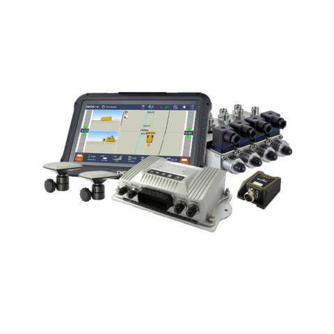
CHCNAV Unveils TX63: Advanced 3D Guidance System for Excavators
![1 (12).png](https://cdn.geo-matching.com/7o2ArBXp.png?w=480&s=98daeef7a3c658ccdcd46c2261dae3d2)
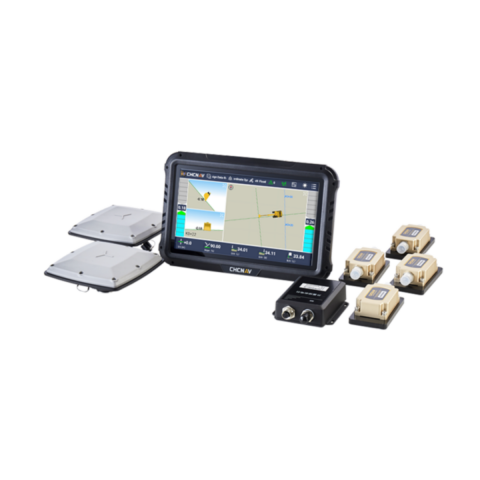
CHCNAV releases TD63 PRO: a High-Precision Automatic Control System for Dozers
![网图1.png](https://cdn.geo-matching.com/PnjME4YR.png?w=480&s=224b6c0b7e92b84bd26774213988bb4a)
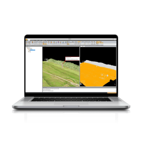
CHC Navigation Unveils CoProcess: Advanced LiDAR Data Post-Processing Software
![1 (5).png](https://cdn.geo-matching.com/yodJw7wn.png?w=480&s=08d3a5f93280f987da34e651402faede)
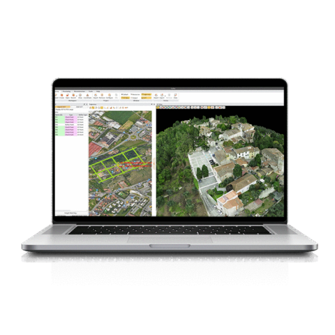
CHCNAV Introduces CoPre: A Comprehensive Ecosystem for Optimized LiDAR and RGB Data Processing
![sea-port-automatization-cgi-610-gnss-sensor-vehicle.jpg](https://cdn.geo-matching.com/1o41AwrR.jpg?w=480&s=e07f792ac3893ef86a9800bd3e6fb7f6)
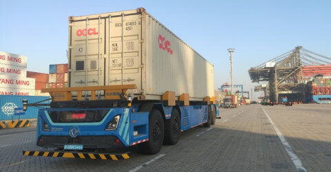
Driving Efficiency and Safety: Autonomous Vehicles Navigate the Future of Ports
![1 (4).png](https://cdn.geo-matching.com/3n8e3zJp.png?w=480&s=2c6df2324ad474b1f11d7050fbe386bb)