![hqdefault (976).jpg](https://cdn.geo-matching.com/EoObO3p0.jpg?w=300&s=616c0c8b1e8f547bda56073751280b5c)
![img6411c3b3ce8bc.png](https://cdn.geo-matching.com/9pNOjOoZ.png)
Showing 1-9 of 13 results
![hqdefault (976).jpg](https://cdn.geo-matching.com/EoObO3p0.jpg?w=300&s=616c0c8b1e8f547bda56073751280b5c)
![hqdefault (908).jpg](https://cdn.geo-matching.com/Vo1jmlR1.jpg?w=300&s=dcea1f5fef693d37bd1c246f1f2c0a48)
Drone hydrographique autonome ME120-USV300
![hqdefault (903).jpg](https://cdn.geo-matching.com/xRKgm5R2.jpg?w=300&s=aad775da00a285fb726e4a4d976d445c)
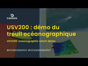
Demo SL 40 avec treuil
![hqdefault (909).jpg](https://cdn.geo-matching.com/yod0e4oe.jpg?w=300&s=d84d3ad575dc7cda357de1e176c07b6e)
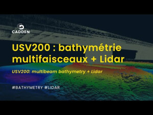
Drone de bathymétrie USV200 multifaisceaux + Lidar à Mauves-sur-Loire (44)
![hqdefault (910).jpg](https://cdn.geo-matching.com/PR0kmgoX.jpg?w=300&s=67e22e96650687316eeb71f1981449cd)
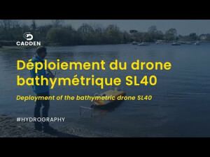
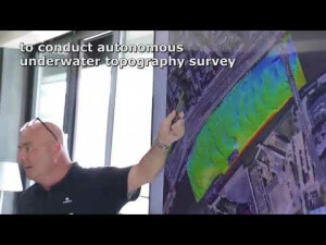
Mise en œuvre drone de bathymétrie multifaisceaux SL40
![hqdefault (911).jpg](https://cdn.geo-matching.com/7o2Nmgo5.jpg?w=300&s=f6d5dc5f3555b08dd28220f0467a3887)
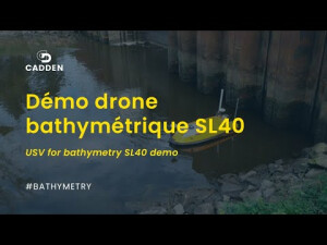
Démonstration du drone de bathymétrie SL40
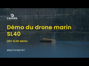
![hqdefault (912).jpg](https://cdn.geo-matching.com/1pPJ1YRm.jpg?w=300&s=a48f6ae8d3051d85c3c2d7f4b65b509c)
Drone marin SL40
![hqdefault (904).jpg](https://cdn.geo-matching.com/wpXyamoX.jpg?w=300&s=df5598cfb5c3d86fd7ca42ff75c9214a)
Démonstration du SL40 lors du R2D3
![hqdefault (905).jpg](https://cdn.geo-matching.com/kR9GmMpQ.jpg?w=300&s=6da63dbebb60da9bb7d57b8d8957e63e)