![imagen1.jpg](https://cdn.geo-matching.com/LnL85dnj.jpg?w=480&s=b024636611b8451ea081deb5ba111074)
![portada-linkedin.png](https://cdn.geo-matching.com/EoOw63o0.png)
Showing 1-6 of 6 results
![imagen1.jpg](https://cdn.geo-matching.com/LnL85dnj.jpg?w=480&s=b024636611b8451ea081deb5ba111074)
![solara1.jpg](https://cdn.geo-matching.com/4p75QQRy.jpg?w=480&s=b464a7f1c6503f74a20a12b58fa2dd19)
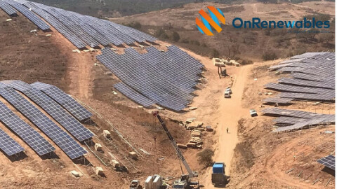
Terrain Analysis with Aplitop Software in Photovoltaic Plant Solara 4
![nz1.jpg](https://cdn.geo-matching.com/9p6MEWnb.jpg?w=480&s=ec4485c50ec4b6af896c510865e02301)
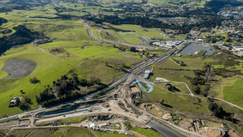
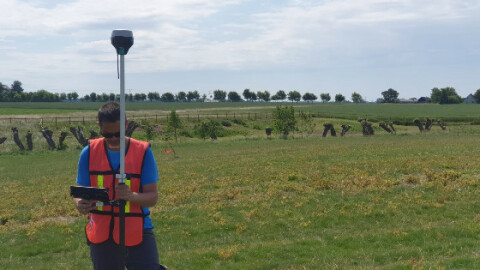
Surveying works with Aplitop software in PÅ«hoi to Warkworth motorway (New Zealand)
![ulriken1.jpg](https://cdn.geo-matching.com/7o2ja6o5.jpg?w=480&s=5da1fc4a833304820b62fdab7a3d09fd)
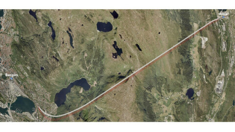
Real-Time Construction Control with Aplitop Software in Ulriken Tunnel
![tunel-spectra-en-g.jpg](https://cdn.geo-matching.com/yRQ8vDoJ.jpg?w=480&s=aa8be2ab0320c654fce67605aa5c2b1b)
Aplitop and Spectra Geospatial Collaborate on Tunneling Survey Solution
![tunnel-survey-in-saudi-arabia-with-aplitop-point-cloud-and-cad-software.jpg](https://cdn.geo-matching.com/Pox9g0RD.jpg?w=480&s=0b13d268af34e91d7e89938a1cbae1b1)