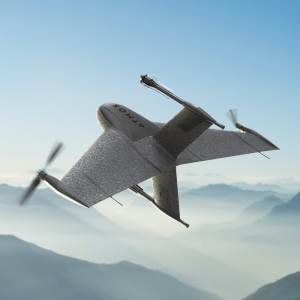

Precise and Cost-Effective 3D Mapping of Urban Environments Using Sony A6100 Oblique Camera
Atmos UAV, a leading innovator in the VTOL mapping drone industry, is excited to announce the integration of the new Sony a6100 Oblique camera into its flagship surveying drone, the Marlyn Cobalt. This strategic partnership with Sony further solidifies Atmos UAV's commitment to providing state-of-the-art solutions to professionals in the geospatial mapping and surveying sectors. The Sony a6100 Oblique camera is a revolutionary addition to the Marlyn Cobalt, which combines Sony's 24MP a6100 with a Meike 12mm lens, providing an excellent solution for cost-effective, lower-resolution surveying and producing fantastic 3D models for urban surveys.
Competitive Pricing
One of the primary advantages of the Sony a6100 Oblique integration is its competitive pricing. As the entry-level cousin to the workhorse a7RIV 61MP camera, the a6100 comes in at a 20% lower price point, whilst still managing a respectable 4cm [1.5in] GSD at 400 feet. This allows professionals to access high-quality imagery without breaking the bank.
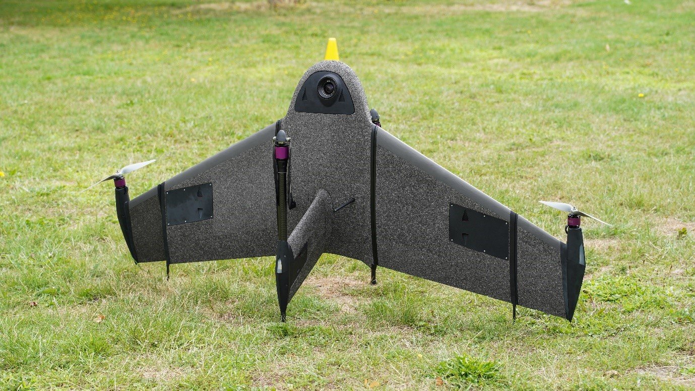
Figure 1 Marlyn Cobalt equipped with Sony a6100
Unmatched Oblique Information for Urban 3D Mapping
The 12mm wide angle lens and fixed angled mounting empower the a6100 Oblique to capture a high quality of data on vertical surfaces, allowing for a comprehensive view of urban environments during 3D mapping missions. This feature significantly enhances data collection efficiency and improves the accuracy of 3D models, giving surveyors and urban planners unparalleled insights for their projects.
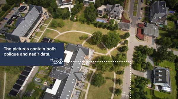
Figure 2 Oblique and Nadir data with Sony a6100
Expanded Coverage with Exceptional Resolution
With the integration of the 'Sony a6100 Oblique' camera, the 'Marlyn Cobalt' now boasts an impressive 350-hectare coverage at 400 feet. This means that surveyors can efficiently cover vast areas in a single flight, reducing operational time and costs. The resulting ground sampling distance (GSD) of 4cm at that altitude ensures high-resolution data acquisition, delivering sharp and detailed images for precise analysis.
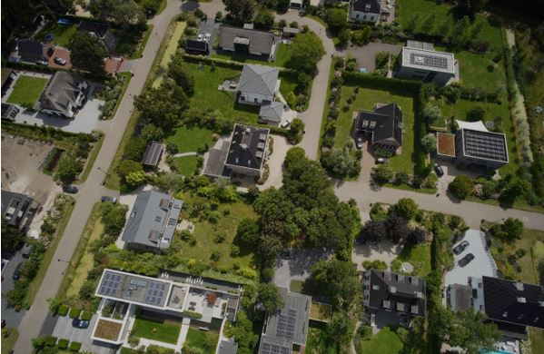
Figure 3 Image captured by Marlyn Cobalt equipped with Sony a6100
See it in Action
To showcase the outstanding quality of the urban mapping capabilities, including the 3D information that can be gleaned from vertical surfaces, we invite you to explore the dataset below. This map was surveyed by one of Atmos’ customers, enabling them to identify and inspect the built and natural environment (houses, treetops, etc.) through different processing ways in the town of Sancta Maria in the Netherlands for urban planning purposes.
The Images & Geotags, plus the impressive completed Point Cloud can be viewed here. A sneak preview of the finished render you can see below.
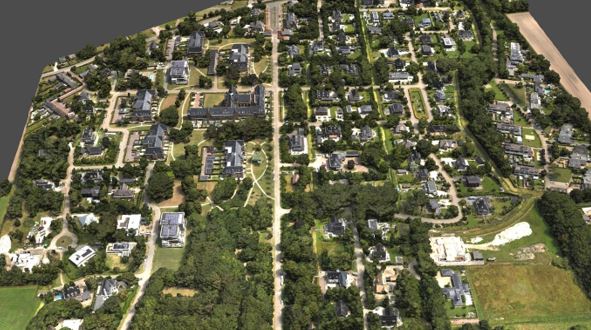
Figure 4 3D reconstruction of the Sancta Maria urban area
"We are thrilled to collaborate with Sony and introduce the Sony a6100 camera to our Marlyn Cobalt drone," said Ruud Knoops, CEO at Atmos UAV. "This integration reflects our ongoing commitment to meeting the evolving needs of professionals in the geospatial industry. The Marlyn Cobalt has always been designed to deliver unparalleled performance, and with the a6100 on board, our customers can achieve even greater success in their surveying and mapping endeavours."
About Atmos UAV
Founded in 2013, Atmos is a Dutch scale-up based in Leiden, specialising in the design and production of high-end aerial surveying and data collection drones that enable professionals to effortlessly gather geospatial data from the sky, enabling them to make more informed decisions. The flagship drone model Marlyn has a worldwide unique design that combines the high performance of a conventional fixed-wing aircraft with the flexibility of helicopters. With their patented technology the company targets mapping, construction, mining, agriculture, environmental and related applications. To facilitate the fast growth of the company, Atmos UAV is currently attracting new talent to expand the team and scale-up production.
Do you have questions about this case study?
Get in touch with Atmos, and they would be happy to answer any questions you have about pricing, suitability, availability, specs, etc.

Related products


![3月21日-封面[1].jpg](https://cdn.geo-matching.com/voeE1ywo.jpg?w=320&s=6b3b1a0215d770f8797653e9202a8f52)


