Capture High-accuracy Laser Offsets Directly into ArcGIS Field Maps
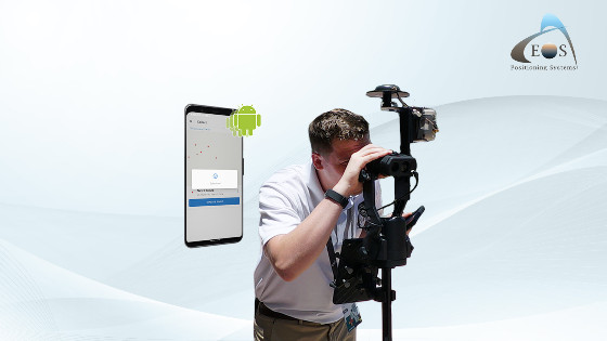
Montreal, March 29, 2022. Eos Positioning Systems, Inc., (Eos) the global leader in the design and manufacture of GNSS receivers for mobile workers, today announced its release of its popular Eos Laser Mapping for ArcGIS solution on Android devices. Previously the free solution, which allows mobile crews to capture asset locations from a distance with survey-grade accuracy, was available only on iOS.
“We are excited to provide this already popular iOS solution also to our customers using Android devices,” Eos Chief Technology Officer Jean-Yves Lauture said.
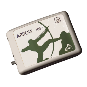
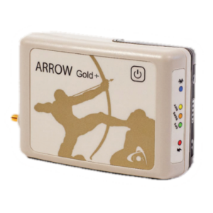
The solution combines market-leading technology from geographic information system (GIS) provider Esri, laser rangefinders from Laser Tech (LTI), and Eos’ own popular Arrow Series® GNSS receivers.
“The Eos Laser Mapping™ solution was extremely well-received with its initial release, so we are excited to see the same features now available for ArcGIS Field Maps users on Android devices,” Esri Field Apps Engineering Lead Jeff Shaner said.
The Eos Laser Mapping™ release on Android currently supports three workflows, or mapping methodologies: Standard Laser Offset (sometimes called Range-Azimuth), Range-Range (or Range-Intersect), and Range-Backsight (a total station-like method).
The original laser offset solution was released in 2018 by Eos in partnership with Esri and LTI.
About Esri
Esri, the global market leader in geographic information system (GIS) software, location intelligence, and mapping, helps customers unlock the full potential of data to improve operational and business results. Founded in 1969 in Redlands, California, USA, Esri software is deployed in more than 350,000 organizations globally and in over 200,000 institutions in the Americas, Asia and the Pacific, Europe, Africa, and the Middle East, including Fortune 500 companies, government agencies, nonprofits, and universities. Esri has regional offices, international distributors, and partners providing local support in over 100 countries on six continents. With its pioneering commitment to geospatial information technology, Esri engineers the most innovative solutions for digital transformation, the internet of Things (IoT), and advanced analytics. Visit us at esri.com.
About Eos Positioning Systems, Inc.
Eos Positioning Systems®, Inc. (Eos) designs and manufactures the world’s premier, high-accuracy GPS / GNSS receivers for the Bring Your Own Device (BYOD) market. The Arrow Series® GNSS receivers provide submeter, sub foot and centimetre RTK GPS / GNSS locations to any iOS, Android, Windows, and Windows devices. Free Eos software utilities, such as Eos Tools Pro, were designed to provide users with the smoothest experience of integrating high-accuracy location data and metadata into their mobile workflows. Eos Positioning Systems is an Esri Gold Partner. Learn more at www.eos-gnss.com.
Do you have questions about this news item?
Get in touch with Eos Positioning Systems, and they would be happy to answer any questions you have about pricing, suitability, availability, specs, etc.



![YRBKMWXn[1].png](https://cdn.geo-matching.com/En53gY1o.png?w=320&s=7a38f8b5a386c40e410a744082db4a37)

