Atmos Increases Coverage and Accuracy with Sony integration
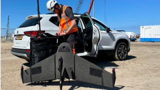
Atmos has integrated the Sony α7R mark III and IV cameras into its high-end VTOL fixed-wing drones (Marlyn Cobalt). The integration enables drone surveyors to map an area of 210 hectares with centimetre-level accuracy in a single flight.
“Sony is a well-known industry-leading brand when it comes to drone surveying payloads” said Joost Bouman, Head of Production and Founding Partner at Atmos. “We have been working with Sony since 2016, and the combination of great price-value ratio with high quality sensors, is one of the reasons we are so happy with this long-lasting relationship. Their responsiveness and the continuous support we have with regards to the development and integration of new cameras, have been very valuable to us.” he concluded.
Map up to 210 Hectares with Centimetre-level Accuracy
Both cameras have an ISO of 32000 (expandable to 102400) and camera sensors with high megapixel count (42,4MP for the α7R ΙΙΙ, and 61MP for the α7R IV respectively), which when combined with Zeiss’ 35mm (α7R III) and 21mm (α7R IV) lenses will enable drone surveyors to achieve GSD (Ground Sample Distance) levels below one centimetre. The integration of these two new cameras will provide users of Marlyn Cobalt, Atmos’ leading drone, with increased coverage and accuracy, allowing them to map an area of 210 hectares (an area equal to almost 300 football fields) with centimetre-level accuracy in a single flight. “When it comes to land and construction surveying applications, we see that Sony cameras are always the number one choice for professional users,” said Vasilis Tziampiris, Marketing Lead at Atmos. “We are excited to increase our users’ capacity and further improve their results in the field!” he added.
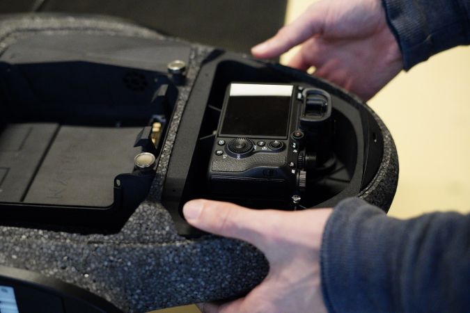
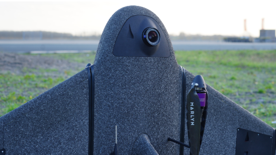
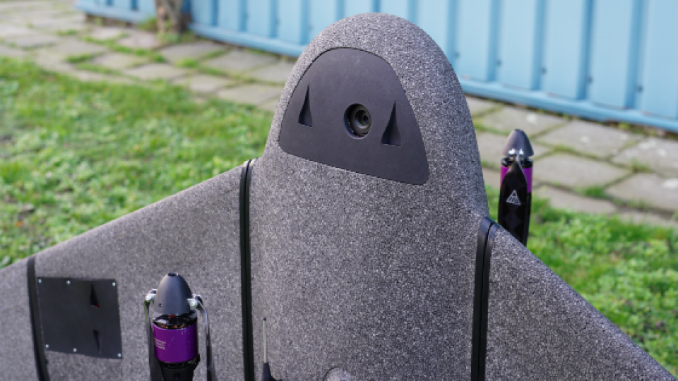
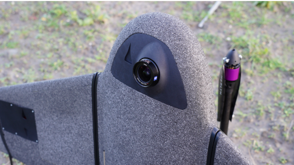
Image 1: The integration of the new Sony cameras will provide users of Marlyn Cobalt, Atmos’ leading drone, with increased coverage and accuracy.
Sony Digital Imaging Cameras for Professional Surveyors
Yasuo Baba, Director, Digital Imaging and European Product Marketing, Sony Digital Imaging Europe added: “Every time we launch an updated version of our SDK (Software Development Kit), we see the applications multiply and aerial footage is a particularly exciting area. We are very proud to be working in close collaboration with Atmos, bring the best of our camera technology to their drones and delivering unparalleled image quality for their users.”
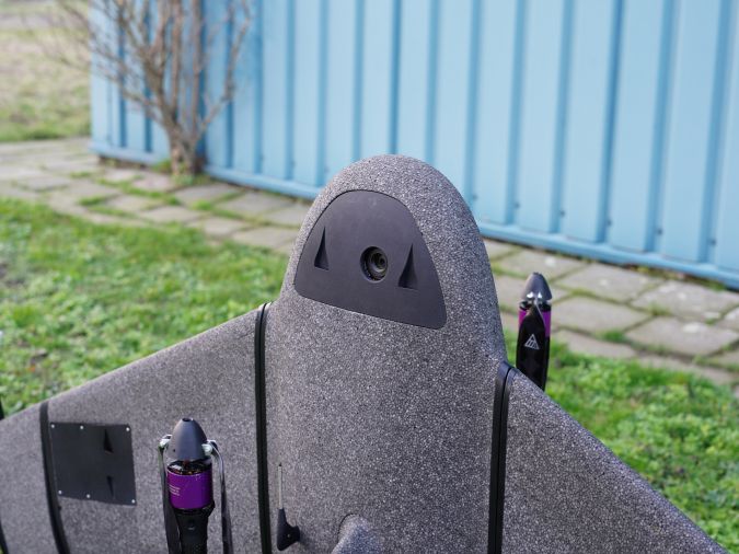
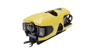
Image 2: Marlyn Cobalt survey drone equipped with Sony a7R III and a7R IV
About Atmos UAV
Atmos UAV designs and manufactures reliable aerial observation and data-gathering solutions for professional users. We specialize in land surveying, mining, precision agriculture, forestry and other mapping-related applications.
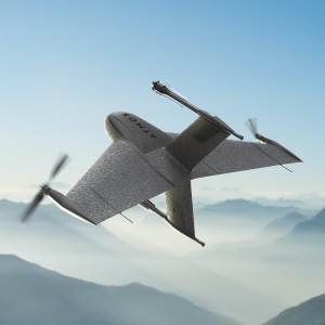
The Marlyn Cobalt fixed-wing VTOL mapping and surveying drone combines the helicopter's flexibility with fixed-wing performance.
Do you have questions about this news item?
Get in touch with Atmos, and they would be happy to answer any questions you have about pricing, suitability, availability, specs, etc.
Related articles


