


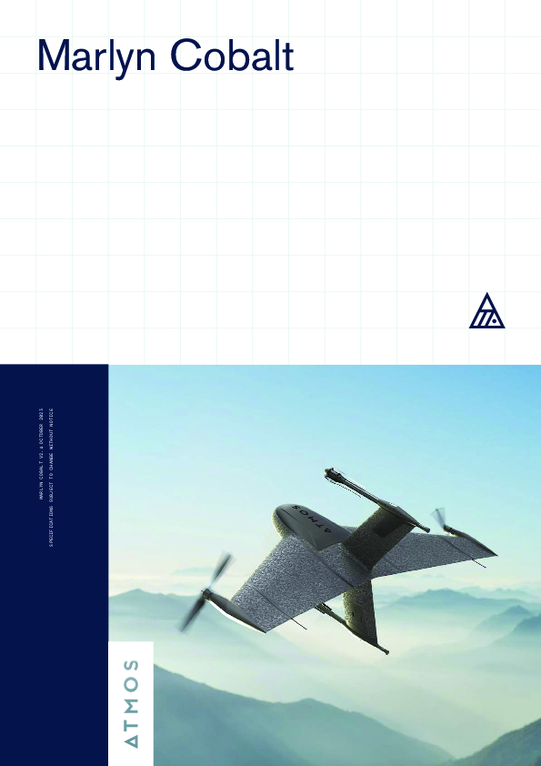
Marlyn Cobalt
Vertical Take-off and Landing High Precision Mapping Drone
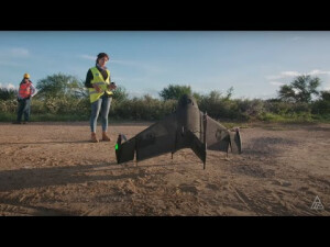
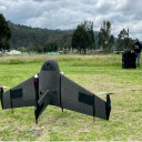
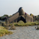
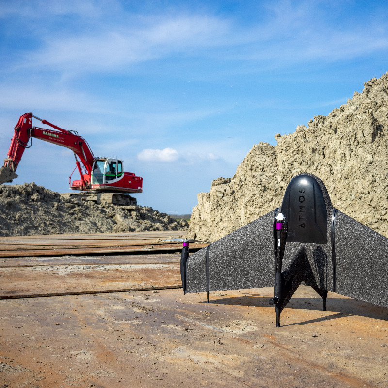
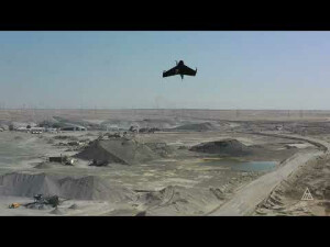
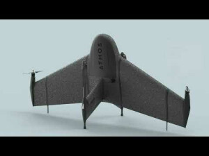
Marlyn is the latest fixed-wing VTOL mapping and surveying drone made by Atmos UAV, that combines helicopter's flexibility with fixed-wing performance. Taking the best of both an aeroplane and a helicopter, she will help you map more land in less time, with the accuracy you need.

Atmos
Valkenburg, NL
Description
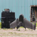
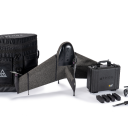
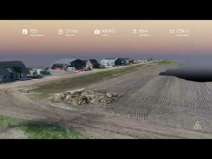
Mapping without limits! Marlyn Cobalt is the latest Go-Anywhere mapping and surveying drone made by Atmos UAV, that combines helicopter flexibility with fixed-wing performance. Taking the best of both an airplane and a helicopter, she will help you map more land in less time, with the accuracy you need. Marlyn's ultimate goal is to give professionals across all industries access to the skies, enabling them to further increase their business effectiveness by gathering data in a safer and more efficient way. Marlyn maps more than 210 hectares in a single flight with centimeter-level accuracy.
Do you have questions about this product?
- Questions about price, availability, and/or retailers
- Questions about technical specifications and usage
- Questions about suitability for your project or application
Specifications
-
Environment
-
Min. operation temperature [°C]
-10
Max. operation temperature [°C]
40
Max. wind speed [m/sec]
12.5
Max. humidity [%]
100
-
Imaging/scanning devices
-
Type of Camera
RGB Sony a7RIV Full-Frame 61 MP, RGB Sony a6100 24MP (+ Oblique), Multispectral MicaSense RedEdge-P & Altum PT
Additional Sensors and additional information
Multispectral, thermal, or other sensors upon request.
Build-in Stablilsation
Y
Exchangeable
Y
Type of Lidar
Atmos Lidar
-
Platform
-
Brand
Atmos UAV
Max. payload [kg]
1
Max. stay in the air [min]
50
Max. speed [km/h]
95
Max. height above sea level [m]
5000
Propulsion
Electric
Platform
Aircraft
-
Accessories
-
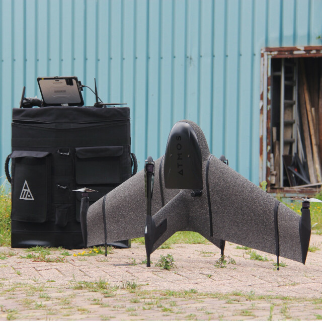
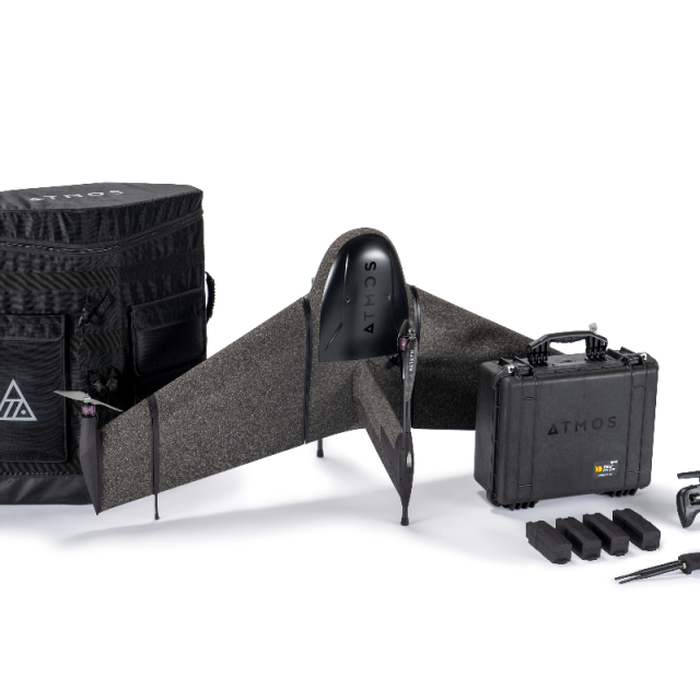
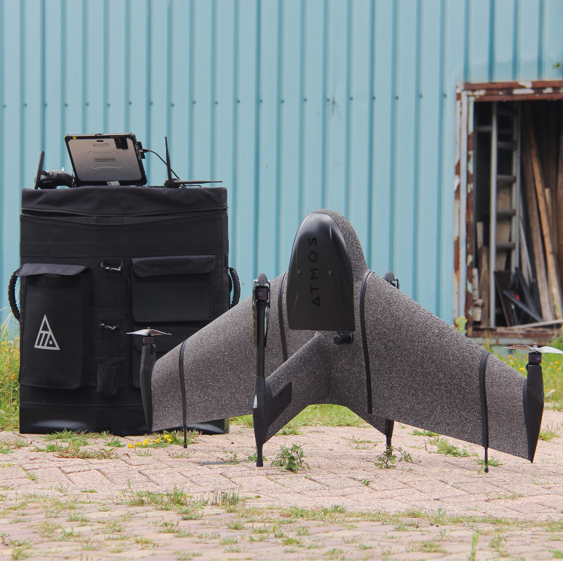
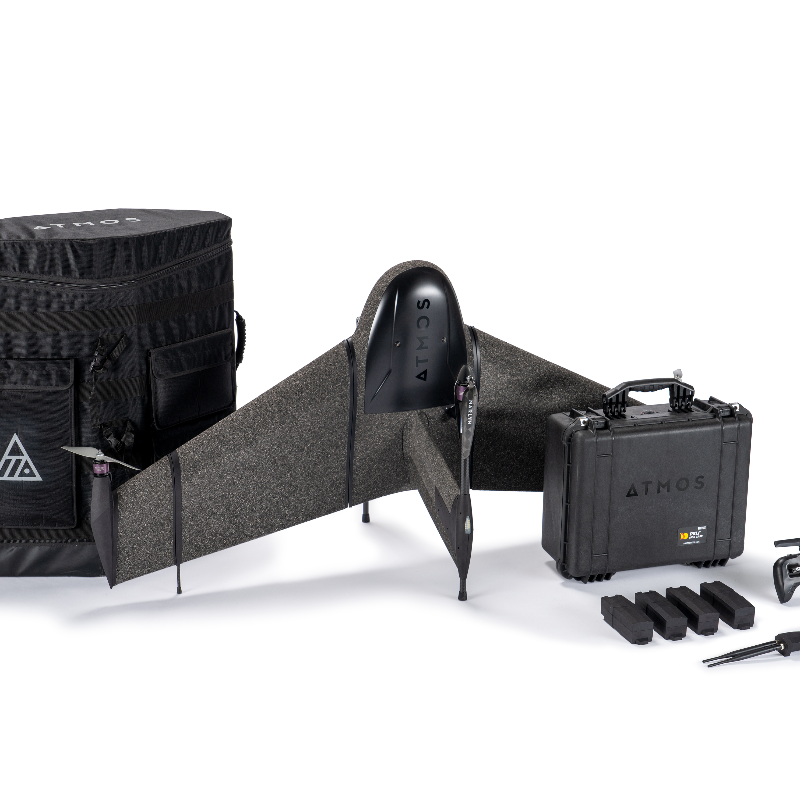
Transportation accessories
Backpack
Included batteries and charger
Y
More included products and spare parts
Interface to connect to your laptop or tabletAtmos planning & ground control softwareRemote control & accessoriesTwo sets of lithium-polymer fight batteriesDual battery-chargerIn-the-field maintenance kit with spare parts for small repairs
-
Operation Characteristics and Safety
-
Min. ø of launch/landing site [m]
2
Launching method
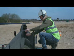
Vertical take off and landing, fully automatic
Automatic launch and landing
Y
Training provided
Y
Collision avoidance systems (CAS)
Y
Autonomous emergency landing
Y
-
Dimensions
-
ø / wingspan [cm]
160
Height [cm]
82
Number of rotors
4
Transport on human back
Y
-
Base Station
-
Ground computer included
N
Type of Ground computer
Tablet or laptop (windows)
Sensor control
Y
Real time image and video download link
N
-
Navigation Sensors
-
Other sensors and additional information
Airspeed Sensor, Barometer, Magnetometer
Correction services [PPK, RTK]
PPK
-
General
-
Year of last update
2023
Typical applications
Mapping, Surveying, Mining, Environmental, Agriculture
Product Name
Marlyn Cobalt
-
Included software and automatically generated
-
Type of software included
Flight planning
Flight planning software
Navigator
Photogrammetric software
Optional: Agisoft or Pix4D
Point cloud processing software
Optional: Agisoft or Pix4D
Automatically Generated Products
Documents
Brochure
Marlyn Cobalt Brochure (2).pdf
1.78 MB
