
Aerial Photography and Photogrammetric Processing of Digital Images
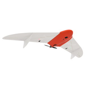
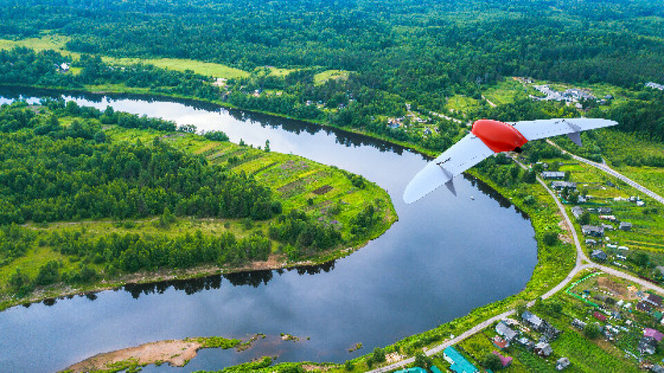
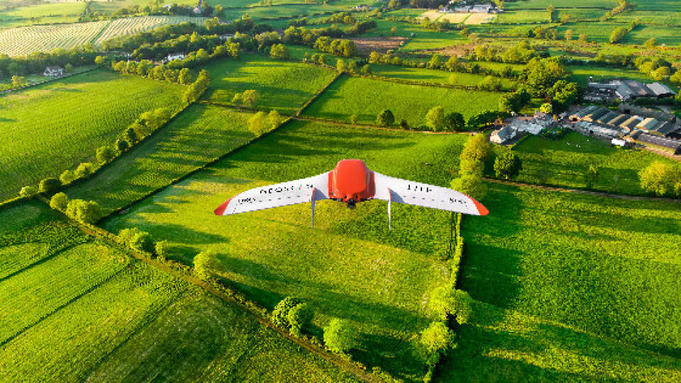
Geoscan offers aerial survey and 3D mapping services. We provide professional 3D drone mapping and photogrammetry services for geodesy, agriculture, civil engineering, mining, forestry, energy and etc. (for different sectors of the economy) The survey is carried out by proffesional UAV Geoscan with high accuracy GNSS receiver Topcon on board and full-frame camera Sony. Photogrammetric processing is carried out by Agisoft Metashape Pro.
Results
1. Orthomosaics
High accuracy 2D plans with GPS georeferencing. These plans can be used for measurement (distances, areas etc …) and planning purposes as they are calibrated to match topography standards and are accurate to the nearest centimeter.
2. Point cloud
Realistic 3D representation of the environment thanks to georeferenced points. Each point contains GPS data on X, Y and Z. The cloud point obtained by photogrammetry offers a color representation which allows a faithful visualization of a site.
3. 3D model
Textured georeferenced model of environment. You can fully interact with the model and use it to perform calculations, including measuring distance, area, and volume.
4. NDVI
Normalized Difference Vegetation Index (NDVI) images are captured with drone cameras that can see in both the visual and the near-infrared spectrum. The images can provide critical data on plant health by measuring the current amount of chlorophyll in the vegetation.
5. Thermal map
A thermal imaging helps detect heat loss, find defects of equipment, locate leaks or points of wastewater discharge.
6. Digital Elevation Model (matrix of heights)
As a single file or as a tile system. Includes buildings and vegetation. GeoTIFF or KMZ formats.


![3月21日-封面[1].jpg](https://cdn.geo-matching.com/voeE1ywo.jpg?w=320&s=6b3b1a0215d770f8797653e9202a8f52)


