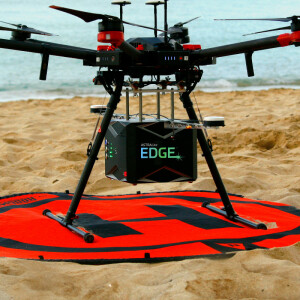
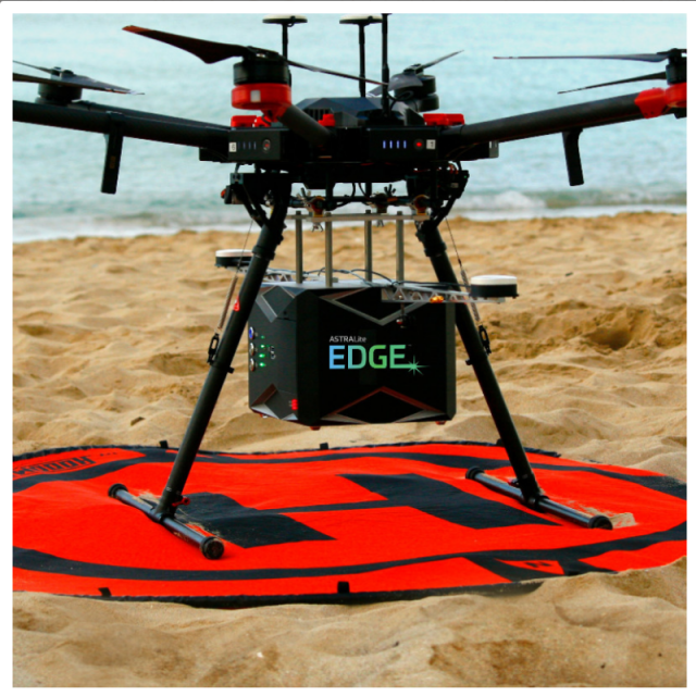
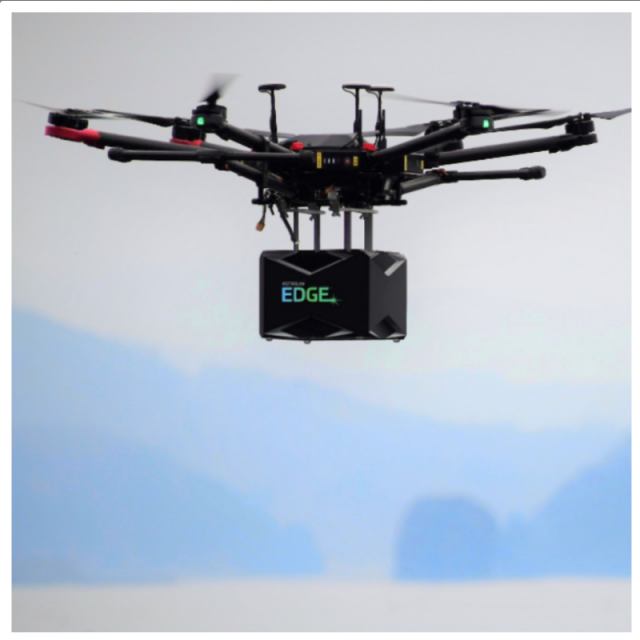


ASTRALiTe EDGE™ LiDAR
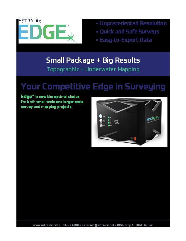
EDGE™ - The World's First Topographic & Bathymetric LiDAR System from a UAV
ASTRALiTe EDGE™ is the world's first small-scale topographic and bathymetric scanning LiDAR that can detect small underwater objects, measure shallow water depth, and survey critical underwater infrastructure from a small UAV platform.

LiteWave Technologies
Louisville, CO, US
Description
ASTRALiTe's patented 2-in-1 topo-bathy LiDAR overcomes the limitations of traditional bathymetric LiDAR, measuring underwater features at centimeter-level depth resolution. From coastal mapping and surveying, to infrastructure inspection and military logistics, the applications of our LiDAR are numerous and widespread.
EDGE provides high-definition measurements both above and below the water surface and accurately measures the transition from land to water. Additionally, we provide simultaneous water- and bottomsurface detection at sub-centimeter accuracy and precision from shore through shallow waters.
Our versatile scanning LiDAR provides 3-D imagery of the underwater scene, and yet meets the size, weight, and power requirements for common-use UAV (drone) deployment.
Do you have questions about this product?
- Questions about price, availability, and/or retailers
- Questions about technical specifications and usage
- Questions about suitability for your project or application
Specifications
-
Operation Characteristics
-
Camera included
Documents
Brochure
edge-product-intro-2004-0.pdf
4.78 MB
More from LiteWave Technologies