
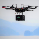

LiteWave EDGE™ LiDAR
EDGE™ - The World's First Topographic & Bathymetric LiDAR System from a UAV
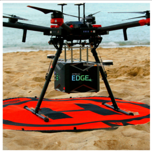
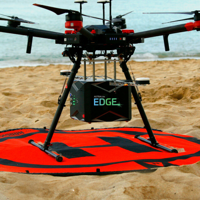
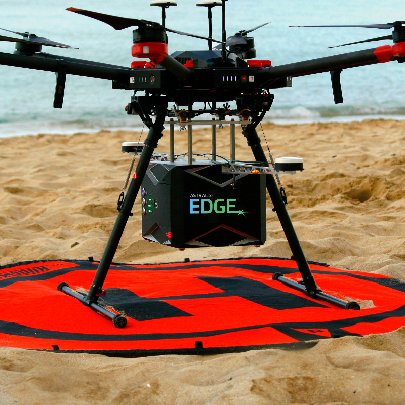
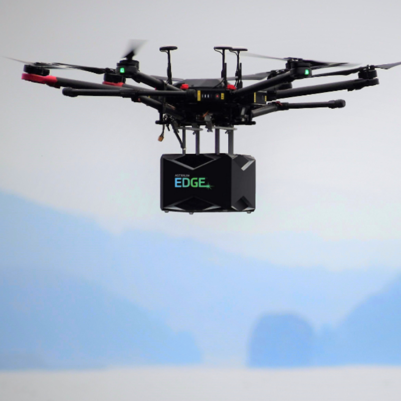
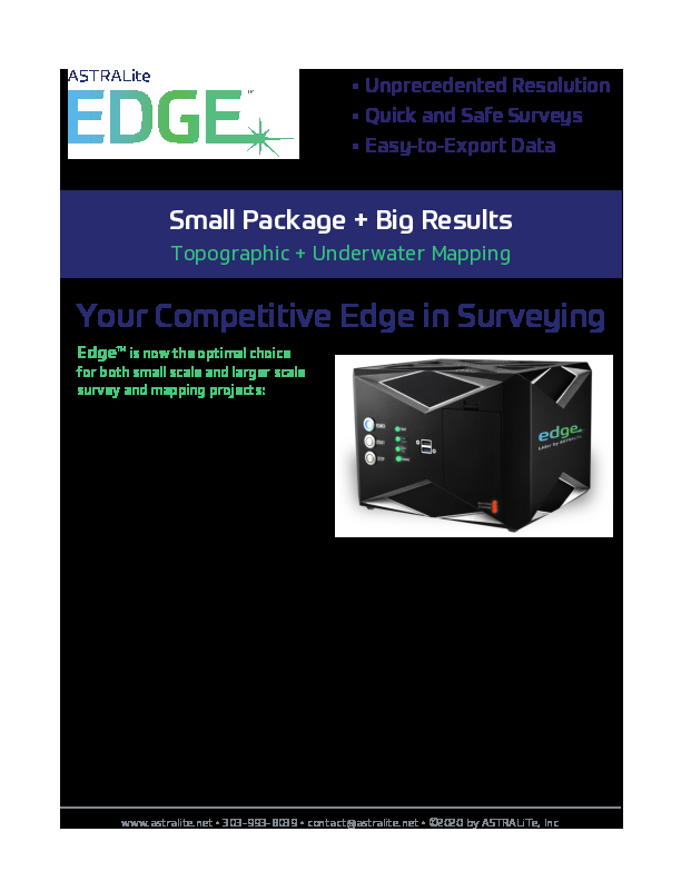
The LiteWave EDGE™ is the world's first small-scale topographic and bathymetric scanning LiDAR that can detect small underwater objects, measure shallow water depth, and survey critical underwater infrastructure from a small UAV platform.

LiteWave Technologies
Louisville, CO, US
Description
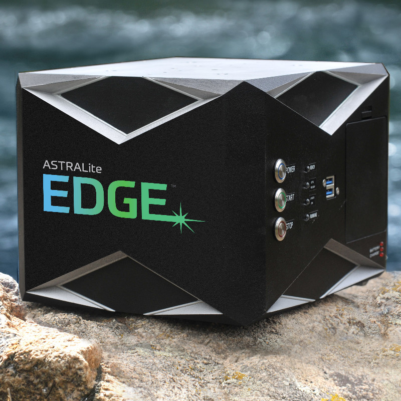
LiteWave's patented 2-in-1 topo-bathy LiDAR overcomes the limitations of traditional bathymetric LiDAR, measuring underwater features at centimeter-level depth resolution. From coastal mapping and surveying, to infrastructure inspection and military logistics, the applications of our LiDAR are numerous and widespread.
EDGE provides high-definition measurements both above and below the water surface and accurately measures the transition from land to water. Additionally, we provide simultaneous water- and bottom surface detection at sub-centimeter accuracy and precision from shore through shallow waters.
Our versatile scanning LiDAR provides 3-D imagery of the underwater scene, and yet meets the size, weight, and power requirements for common-use UAV (drone) deployment.
Do you have questions about this product?
- Questions about price, availability, and/or retailers
- Questions about technical specifications and usage
- Questions about suitability for your project or application
Specifications
-
General
-
Year of introduction
2019
Total Weight [kg]
5
Power requirements
Internal Li-Ion Battery
Data storage facilities
USB
Year of last update
2020
Type of GNSS/INS positioning system
SBG Ellipse
Camera
Yes
Postprocessing software
Included
Mission planning software
None
-
Application
-
Main applications
Surveying, UAS LiDAR System, Infrastructure Inspection, Oil & Gas, Natural Resource Monitoring, Military Logistics
-
Measurement Characteristics
-
Scan frequency [Hz]
20 kHz
Scanning method
Push-Broom Scanning Method
Full-wave form digitization
Y
multiple pulses in air
Y
Min. pulse frequency [Hz]
20,000
Max. pulse frequency [Hz]
23,000
Max. number of recorded echoes per pulse
2
-
Operation Characteristics
-
Platform
RPAS (UAV/UAS)
Min. flying height [m]
30
Max. flying height [m]
50
Max. acquisition time [hr]
1.5
-
Laser Pulse Characteristics
-
Wavelength [nm]
532
Beam divergence [mrad]
12
Type/class laser
3R Laser Product
Eyesafe range [m]
3m
Standard pulse length [ns]
1
-
More information
-
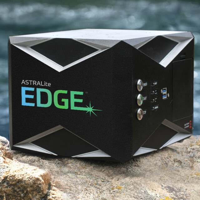
Distinguishable features
Battery, GPS/GNSS, IMU, On-board computer all enclosed in the system. Excels in mapping shallow waters to the centimeter level.
-
Uncertainty and resolution
-
Pitch and roll pointing precision [deg]
0.05
Heading pointing precision [deg]
0.2
-
Application areas
-
Select an application area:
Documents
Brochure
edge-product-intro-2004.pdf
4.78 MB
Other documents
-
Specification Sheet4 MB
-
Coastal Mapping Case Study5.74 MB
-
River Engineering Case Study7.6 MB
More from LiteWave Technologies