Join 40,000+ geospatial professionals and get technology news delivered straight to your inbox every week. Subscribe today.

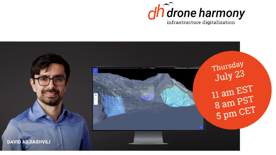
Working with Terrain Models in Drone Harmony

Tue, Jun 30, 2020 at 11:00 AM (EDT) 1 hour
Learn how to work with terrain data in Drone Harmony Web.
fb-li-webinar-23-6-1.png
Share webinar

TOP TAKEAWAYS:

  • The use of the 3D DEM View
  • Planning complex survey missions
  • Planning linear infrastructure inspection missions in complex terrain
  • Loading terrain data through the terrain API
  • Use Cases: Mining, Surveys, Hillside Scanning, Railroads

Time: 11am EST, 8am PST, 5pm CET

Ask a question

Drone Harmony team is happy to assist.

Drone Harmony

We're available on all weekdays and usually reply within 1-2 working days.

Please provide detailed information. Your input helps Drone Harmony assist you effectively.

Let us know a little about you and your contact information.

Do you represent a company or organization?

Before we proceed, would you be interested in subscribing to our newsletter?

By completing this form, you acknowledge and agree to abide by our Terms and Conditions, Privacy Policy and Cookie Policy.

Thank you for your message! Our team tipically to respond to inquiries within 1-2 business days.