Join 40,000+ geospatial professionals and get technology news delivered straight to your inbox every week. Subscribe today.

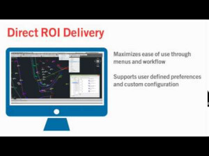
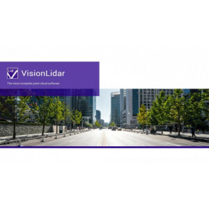
VisionLiDAR: The most complete point cloud software so far.

Geo-Plus 0 views
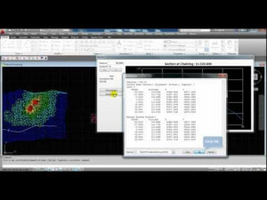
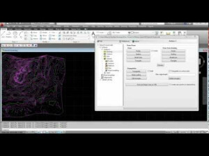
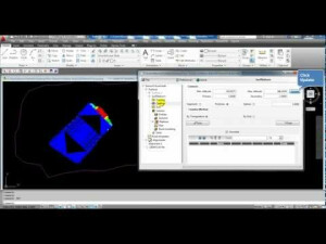
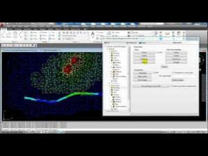
Our LiDAR processing software is the most complete solution so far. Our point cloud software process an infinite number of points coming from several types of LiDAR scans. It is the right solution for vectorizing and recognizing any indoor or outdoor structure. Land surveyors, civil engineers, architects and many other professionals, now hold an easiest way to work with accurate LiDAR data.

Products featured in this video

Ask a question

Geo-Plus team is happy to assist.

Geo-Plus

We're available on all weekdays and usually reply within 1-2 working days.

Please provide detailed information. Your input helps Geo-Plus assist you effectively.

Let us know a little about you and your contact information.

Do you represent a company or organization?

Before we proceed, would you be interested in subscribing to our newsletter?

By completing this form, you acknowledge and agree to abide by our Terms and Conditions, Privacy Policy and Cookie Policy.

Thank you for your message! Our team tipically to respond to inquiries within 1-2 business days.