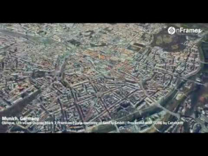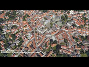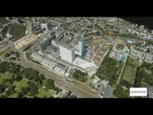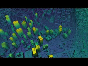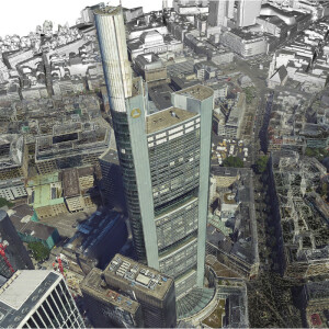
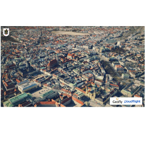
SURE 4.0 – City- and Countrywide Mapping with Imagery and LiDAR
Our newest engines - LiDAR, 3D Mesh and True Ortho - enable you to fuse data with greater accuracy and completeness while delivering optimized performance, geometry and web streaming formats. We strive to provide you with the best experience and are looking forward to presenting the next level of photogrammetry excellence to you. Further selected benefits: - Full automatic workflows - Straightest edges & exact geometry - Automatic texture projection with high radiometric detail - Efficient visualization and streaming through optimized Level-of-detail (LoD) - Import of 2D and 3D shapefiles - LiDAR integration and LiDAR only - Unlimited scalability to any data volume and shorten time-to-delivery through distributed processing
Products featured in this video
More from "nFrames GmbH"