Description
Specifications
-
Environment
-
Min. operation temperature [°C]
-5
Max. operation temperature [°C]
50
Max. wind speed [m/sec]
16
Max. humidity [%]
99
-
Imaging/scanning devices
-
Onboard imaging/scanning devices
RGB Camera, Lidar, Additional sensors, Gimbal, NIR Camera, SWIR Camera
Type of Camera
RGB
Type of Lidar
Velodyne, Riegl, Quanergy
Additional Sensors and additional information
Interchangeable payloads and combinationsRGBEO/IRThermalLidarMultispectralHyperpsectral
Build-in Stablilsation
Y
Exchangeable
Y
Sensor tilting to allow oblique views
Y
-
Platform
-
Platform
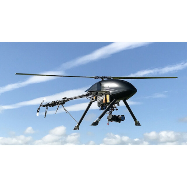
Copter
Brand
Altus ORC2
Max. payload [kg]
5
Max. stay in the air [min]
70
Max. speed [km/h]
60
Max. height above sea level [m]
3000
Propulsion
Electric
-
Accessories
-
Transportation accessories
Rugged travel caseSelf contained GCS and Charging system in hard cases
Included batteries and charger
3 flight packs and high speed charging system
More included products and spare parts
ToolkitAncillariesBatteriesMemory cards
-
Operation Characteristics and Safety
-
Min. ø of launch/landing site [m]
4
Launching method
Vertical takeoff
Automatic launch and landing
Y
Training provided
Y
Collision avoidance systems (CAS)
Y
Autonomous emergency landing
Y
-
Dimensions
-
ø / wingspan [cm]
200
Height [cm]
620
Weight [kg]
5.5
Weight of battery [kg]
4.4
Weight of filled fuel tank [kg]
4.4
Number of rotors
1
Transport on human back
N
-
Base Station
-
Ground computer included
Y
Type of Ground computer
MS Surface Pro Tablet
Sensor control
Y
Real time image and video download link
Y
-
Navigation Sensors
-
Type of GNSS receiver and captured signals
GPS/GLONASSOptional RTK/PPK
Type of IMU
Altus
Other sensors and additional information
Laser altimeter/CASBarometric altimeter
Correction services [PPK, RTK]
RTK, PPK
-
General
-
Year of last update
2018
Typical applications
Mapping, Surveying, Lidar, Inspection, BLOS
-
Included software and automatically generated
-
Type of software included
Flight planning
Flight planning software
Altus Planner
Photogrammetric software
Pix4D available as option
Point cloud processing software
Pix4D available as option
Additional information on software or automatically generated products
Specific software packages to support sensors are all available for purchase as options
Automatically Generated Products


