Description
Specifications
-
General
-
Year of initial development
2005
Year of latest version
2008
Operating System
Windows XP
Minimum computer requirements
1 GHz; 1GB RAM
Stand-alone
Yes
-
Other specifications
-
Supported export formats
GeoTiff; XY-class ascii; JPEG; PNG; Surfer grid
Typical application
Coastal zone management; hydrographic and route survey; dredging and port construction; fisheries management; habitat assessment and environmental monitoring; military (MCM; ASW).
-
Employed signal characteristics
-
Derived depths
Y
Other
Y
-
Usage
-
Extracted parameters
Acoustic classes; other parameters indirectly
Timing of analysis
Offline
Pre-processing data and quality control
Y
-
Coupling to hardware
-
Proprietairy data processing
Y
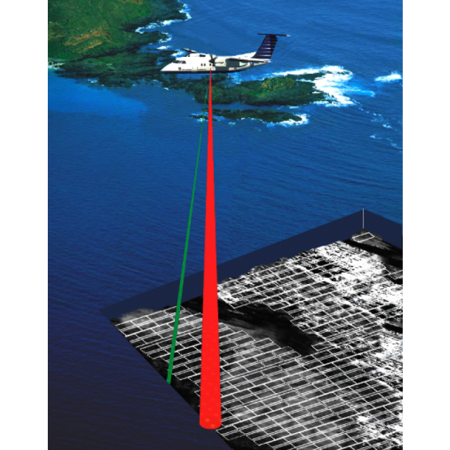
Supported sensor systems
Tenix LADS
Open to other data formats
N
-
Applied principle
-
Signal modeling
N
Segmentation
Y
Feature extraction
Y
Feature detection methods
Spectral analyses; fractal analyses; power spectra; grey level occurence matrices; mean; standard deviation; histogram; quantile
-
Ground truthing
-
Independent samples required
Y
Ground truthing possible
Y