PHOTOMOD GeoMosaic
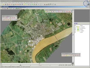
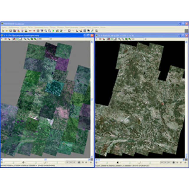
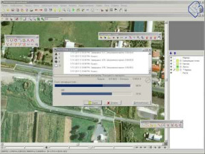
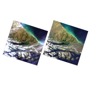
PHOTOMOD GeoMosaic is a powerful software solution for combining geo-referenced images from any source into a single, seamless, colour-balanced, geometrically perfect mosaic.
Racurs
Moscow, RU
Description
PHOTOMOD GeoMosaic is powerful software solution for combining georeferenced images from any sources into single seamless, color-balanced, geometrically perfect mosaic.
Specifications
-
Application
-
Main users
PHOTOMOD GeoMosaic is intended for working with various types of georeferenced digital images, including aerial and space imagery as well as digitized raster maps.
Main applications
Orthorectification and mosaic creation
Distinguishable features
Flexible distributed processing, on-the-fly preview of final mosaic.
-
General
-
Year of introduction
2005
Year of last update
2019
Supported hardware
No
User definable operations and extensions
No
Other input data supported
No
-
Object-based classification
-
Line extraction
No
Region growing segmentation
N
Multiresolution image segmentation
N
Multiscale approach
N
Generalisation
No
-
Editing
-
Manual removal and addition of points; lines; polygons
N
Addition of text and symbols
N
Overlay with map data
Y
-
Classification in general
-
Max. number of bands
8
Ancillary data integration
No
Sub-pixel classification
No
Training sample selection
Y
Accuracy assessment
Y
-
Radiometric and image processing
-
Radiometric corrections
Yes
Spatial convolutions
Yes
Image transforms
Y
Morphological operations
Yes
Filtering of radar imagery
N
-
Pixel-based classification
-
Unsupervised classification
N
Supervised classification
N
Vegetation index
N
Principal component analysis
N
-
Geometric processing
-
Correction models
Y
Transformations
Y
Cartographic projections
Y
Ortho-image generation using DEM
Y
Resampling
Y
Geometric accuracy assessment
Yes


