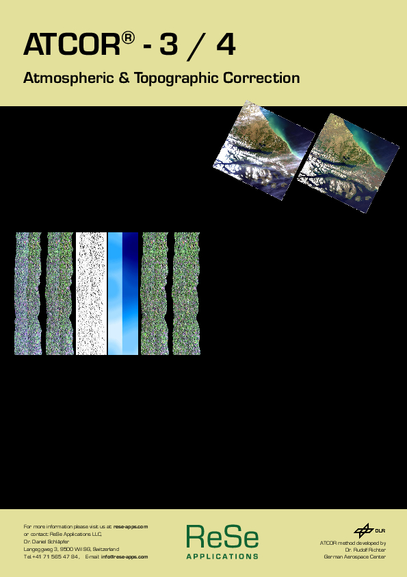
ATCOR-4-Airborne
Atmospheric and Topographic Correction for Wide FOV Airborne Optical Scanner Data
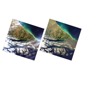
The airborne ATCOR®-4) corrects small and wide FOV airborne optical and thermal scanner data. It interpolates the solution from an extensive Modtran®-derived atmospheric database for typical flight altitudes and solar geometries.

ReSe Applications LLC
Wil, CH
Description
For computational efficiency, there are separate modules for flat and rugged terrain imagery. A large "monochromatic" database of atmospheric correction functions comes with the ATCOR-4 model. The database was compiled with the Modtran®-5 code (DISORT, 8 stream option). It comprises the altitudes 0 km to 10 km and 20 km (1 km increment, with occasional larger gaps). For a given sensor and range of operating altitudes the corresponding altitude files from the monochromatic database have to be resampled with the spectral filter functions of all channels.
The software offers these key advantages:
- Bottom of atmosphere reflectance calculation with constant atmospheric conditions or spatially varying aerosol conditions
- Retrieval of atmospheric water vapor column for sensors with water vapor bands (around 820/940/1130 nm), using the APDA method
- Aerosol optical thickness retrieval using the dark dense vegetation (DDV) or the shadow based (SHAOT) method
- Statistical haze removal through use of a fully automatic algorithm that masks haze and cloud regions and removes haze of land areas
- Cirrus cloud removal (requires a narrow 1.38 micron band)
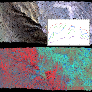
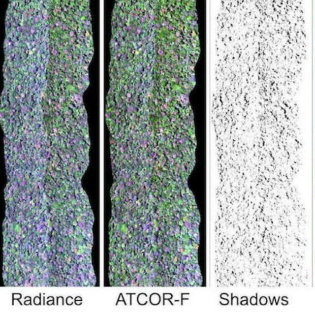
- De-shadowing of cloud/building cast shadow areas using image-based shade detection routines
- Empirical BRDF correction of irradiance effects
- Model based observation angle dependent BRDF correction (BREFCOR method)
- Optional quick topographic correction (without atmospheric correction)
- Inflight radiometric calibration to calculate gain and offset from known target surface reflectances
- Inflight at-sensor radiance validation using ground target reflectances
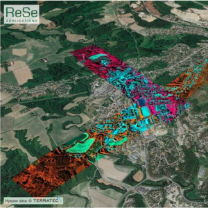
- Automatic classification of spectral surface reflectance (program SPECL) using 12 surface cover templates
- Surface emissivity and surface (brightness) temperature maps for thermal band sensors
- Spectral polishing of reflectance cube (only hyperspectral imagery)
- Value added products side outputs (LAI, FAPAR, etc.)
- Correction of spectral "smile" (across track variation of the spectral position of spectral bands for hyperspectral instruments)
- Adaption of solar reference spectrum
- Diffuse and direct illumination components side outputs
- The atmospheric database includes a wide range of pre-calculated radiative transfer runs for different weather conditions and sun angles employing the Modtran®-5 code
- Works for hyperspectral, multispectral, thermal, and panchromatic imagery
Do you have questions about this product?
- Questions about price, availability, and/or retailers
- Questions about technical specifications and usage
- Questions about suitability for your project or application
Specifications
-
Application
-
Main users
Data provider and surveyors, data analysis specialists.
Main applications
Scientific data analysis, high accuracy spectral processing.
Distinguishable features
Atmospheric and topographic correction of small and wide FOV sensors, operational BRDF effects correction (BREFCOR), MODTRAN-6 radiative transfer code based automatic processing.
-
General
-
Year of introduction
2001
Year of last update
2021
Supported hardware
Windows, Linux, MacOSX, suitable for all kind of airborne multispectral, thermal and hyperspectral sensors.
User definable operations and extensions
Batch processing
-
Radiometric and image processing
-
Radiometric corrections
Atmospheric correction, reflectance retrieval, topographic correction, BRDF correction.
-
Pixel-based classification
-
Unsupervised classification
Y
-
Geometric processing
-
Resampling
Y
Documents
Brochure
atcor-flyer.pdf
1.44 MB
