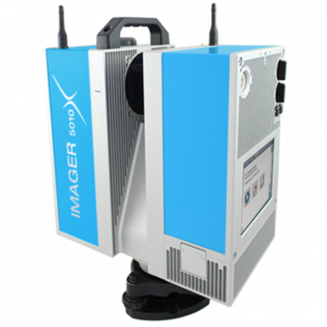
Description
Specifications
-
Application
-
Training facilities
optional
Main users
Architects, Engineers, Mining, Forestry, Accident/Crime, Archaeology, BIM, Volume Calculations, LiDAR,
Main applications
Architects, Engineers, Mining, Forestry, Accident/Crime, Archaeology, BIM, Volume Calculations, LiDAR, Government
-
Peripherals
-
External Camera
Y
User interface
intergrated
Additional sensors
Thermal Camera (t-Cam)
Registration/orientation methods
Point to point, cloud to cloud
-
Scanning Characteristics
-
Max. vertical field of view [deg]
320
Max. horizontal field of view [deg]
360
Min. horizontal step size [deg]
0.0002
Min. vertical step size [deg]
0.0004
Uncertainty of horizontal step size [deg]
0.007
Uncertainty of vertical step size [deg]
0.007
Beam deflection mechanism
rotating mirror
Max. measurement rate [kHz]
1016
Min. scan duration with typical resolution [min]
3
Scan duration with highest resolution [min]
27
-
Software Functionality
-
Software name
LaserControl
Automatic detection of tie points
Y
Real time visualization during scanning
Y
Geo-referencing
Y
Fitting of primitives
Y
Max. size of model [million points]
2000000000
-
Laser Ranger
-
Range measurement principle
phase
Wavelength [nm]
1500
Laser safety classification
Laser class 1
Min. Range [m]
0.30
Max. Range [m]
187.3
Range uncertainty (variable part) [ppm]
1
Beam diameter at exit [mm]
3.5
Beam divergence [mrad]
0.22
Intensity recording [bits]
24
-
Power
-
Battery type
internal
Scan time per battery [h]
3
-
General
-
Year of introduction
2015
Height [m]
0.395
Depth [m]
0.286
Width [m]
0.170
Total Weight [kg]
11


