ViewPoint App (Android Application) - ground penetrating radar data acquisition application
ViewPoint is an Android ground penetrating radar data acquisition application (App) that controls ImpulseRadar CrossOver and PinPointR antennas.
ImpulseRadar
Mala, SE
Description
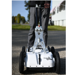
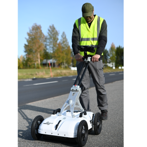
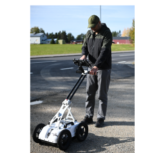
When installed on a suitable Android device (Smartphone or Tablet), ViewPoint enables wireless connectivity between the device and the GPR antenna.
The modern and intuitive user interface is designed to maximize your in-field productivity with features and functionality to support your daily workflows. Collect single or multi-line projects with full control over profile lengths and spacing to suit actual site conditions and your specific subsurface investigation objectives.
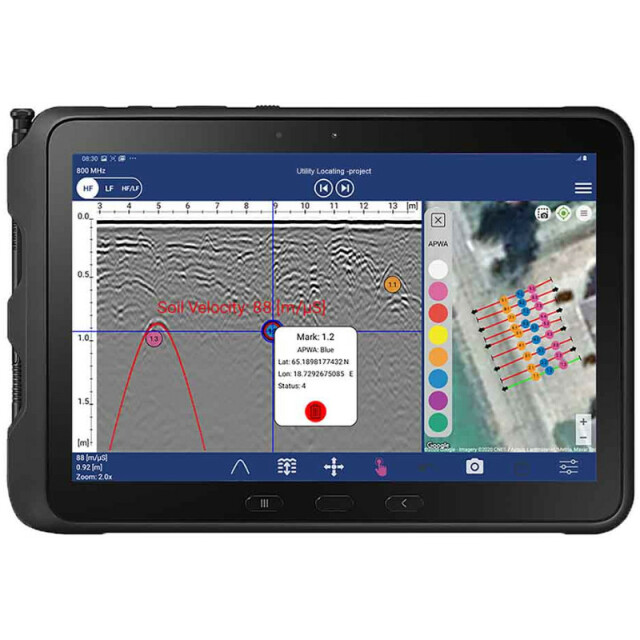
Gather Data According to your Needs
Individual scans, single-line projects, and multi-line projects (dual-mode, reference line, or GPS)
Efficient Marker Assignments
-
Pre-set marker colour codes consistent with industry-standards for utilities to match paint-marks on the ground.
-
User-defined custom colour codes support other applications such as archaeological, environmental, geological, or geotechnical.
Intuitive and Easily Accessible Tools
Make effective adjustments on-the-fly
-
Channel selection
-
Depth and velocity fine-tuning
-
Marker assignment and placement
-
Data and map screenshots
-
Filter adjustment – background removal, gain and contrast
Uncomplicated Mapping with Google Earth™ Support
-
Automatic generation of KMZ files with profile locations, survey routes, marker information, and radargrams.
-
Open files in Google Earth™, ArcGIS, or other third-party software supporting this format.
Georeferencing with Google Map™ Integration
-
The combination of internal GPS with Google Map integration allows you to observe profile locations, survey routes, and assigned markers in real-time alongside the radar data.
-
Connect a suitable external GNSS system for survey-grade positioning.
Effortless Reporting
Pre-set marker colour codes consistent with industry-standards for utilities to match paint-marks on the ground.
Automatic Field Report Generation
Automatic pdf summary generation simplifies information sharing by presenting data in a useful way to prove site visits for job/ ticket sign-off.
Specifications
-
General
-
Application
Deliverable vector products [2D and 3D]
Main design elements
Options for delivery
Processing type
Continents
-
Data Processing
-
Connections
-
Software
-
3D GPR Processing Tool
Import and process data automatically
-
Processor and Storage
-
Processor Bit


