
NORBIT - iWBMS Ekinox
TURNKEY MULTIBEAM SONAR SYSTEM For High Resolution Bathymetry
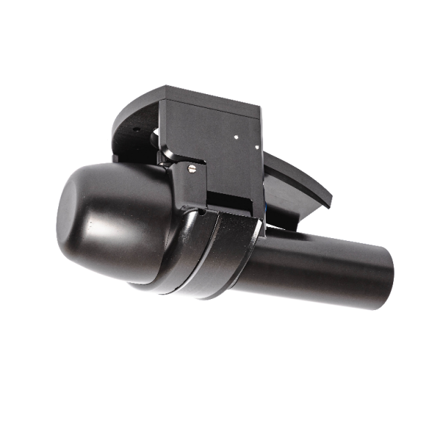
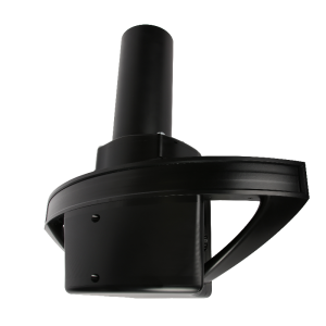
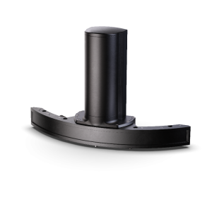
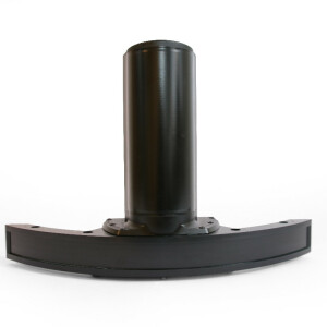
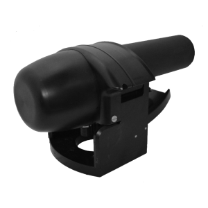
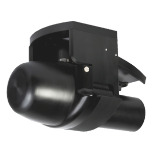
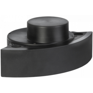
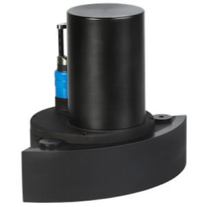
Compact and high-resolution curved array bathymetric mapping system by NORBIT. This all-in-one tightly integrated broadband multibeam turnkey solution offers high resolution bathymetry over a wide swath. The high-end sonar with SBG Ekinox GNSS/INS embedded into the unit ensures fast and reliable mobilisation and highest quality sounding for surveys in all conditions.

NORBIT Subsea
Trondheim, NO
Description
Do you have questions about this product?
- Questions about price, availability, and/or retailers
- Questions about technical specifications and usage
- Questions about suitability for your project or application
Specifications
-
Physical properties of transducer head
-
Length [m]
0.444
Width [m]
0.236
Height [m]
0.228
Min. external power [V]
10
Max. external power [V]
28
Max. power consumption [W]
60
Weight in Air
8.5kg
Weight in Water
3.5kg
-
Speed of sound
-
Real-time correction of refraction at transducer head
Y
Real-time integration of SV-profile
Y
Explanation of SV-profile application process
3rd Party Software (Qinertia, Hypack, QINSy, PDS2000, etc.)
-
Interfaces
-
Compatible software
Qinertia, Hypack, QPS, EIVA, MB-System, Triton, PDS2000 and others
Compatible hardware
All mounting arrangements
Real-time access procedure
NORBIT user-interface via LAN
-
Motion compensation
-
Motion sensors compatible to the system
Incl. SBG Ekinox GNSS/INS
Required pitch uncertainty [deg]
0.02
Required roll uncertainty [deg]
0.02
Required heave uncertainty [m]
0.05
-
Mounting and deployment
-
Mounting
Hull mounted & Portable
Retractable
Y
-
Used Sonar Methods
-
Type of system
Multibeam
Bottom Detection Method
Amplitude/Phase/Blend
-
System Parameters
-
Min. frequency [kHz]
200
Max. frequency [kHz]
700
Min. depth [m]
0.2
Max. depth [m]
275
-
Bottom Coverage
-
Equi-angular/equi-distant mode
-
General
-
Date of first release
2022
Documents
Brochure
PS-210031-5_iWBMS-Ekinox_A4.pdf
Videos
