
MGC R2
Gyro Compass and INS
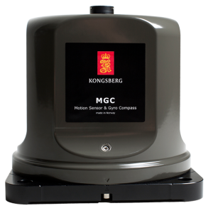
The MGC R2 represents a new family of products combining motion sensing and gyro compass functionality. Included in this innovation are three Ring Laser Gyros and three linear accelerometers, making the MGC R2 a full inertial navigation system (INS). Capable of outputting an array of navigational data such as heading, roll, pitch, heave, and position, this system is tailored for high precision maritime applications such as offshore operations and seabed mapping.

Kongsberg Discovery
Horten, NO
Description
Operational Modes and Data Output
The MGC R2 is versatile in its operational capabilities, functioning both as a stand-alone unit or integrated within other systems. It has two primary modes: Gyrocompass mode, simplifying the typical applications where only the input of speed is needed to output crucial parameters including heading, roll, pitch, and heave# and an Integrated Navigation mode, which further necessitates inputs from a GNSS receiver (VTG, GGA, ZDA) for comprehensive outputs that additionally include position. This product consistently outputs both processed and raw sensor data, supporting detailed motion analysis.
Heave Measurement and Navigation Algorithms
An impressive feature of the MGC R2 is its integrated navigation algorithms that facilitate the output of aided position and heading data when linked with a GNSS receiver. The acclaimed PFreeHeave algorithms are integrated to enable highly accurate heave outputs, both in real-time and delayed, offering precision down to 2 cm. Moreover, the unique mounting bracket ensures easy alignment with the vessel axis, guaranteeing optimal deployment and precise measurements for various maritime applications.
Key features
0.02° roll and pitch accuracy
0.1° heading accuracy GNSS aided
Includes INS capability
Outputs on RS-232, RS-422 and Ethernet
High output data rate (200 Hz)
Precise heave at long wave periods by use of PFreeHeave algorithms
Lever arm compensation to two individually configurable monitoring points
Small size and low power consumption
Each MGC delivered with a Calibration Certificate
Selectable communication protocols in the Windows based configuration software
Do you have questions about this product?
- Questions about price, availability, and/or retailers
- Questions about technical specifications and usage
- Questions about suitability for your project or application
Documents
Brochure
datasheet_mgc_r2.pdf
813.8 KB


