
Kontur GROUND
The versatile all-rounder, handling both near-surface and deep subsurface mapping.
Description
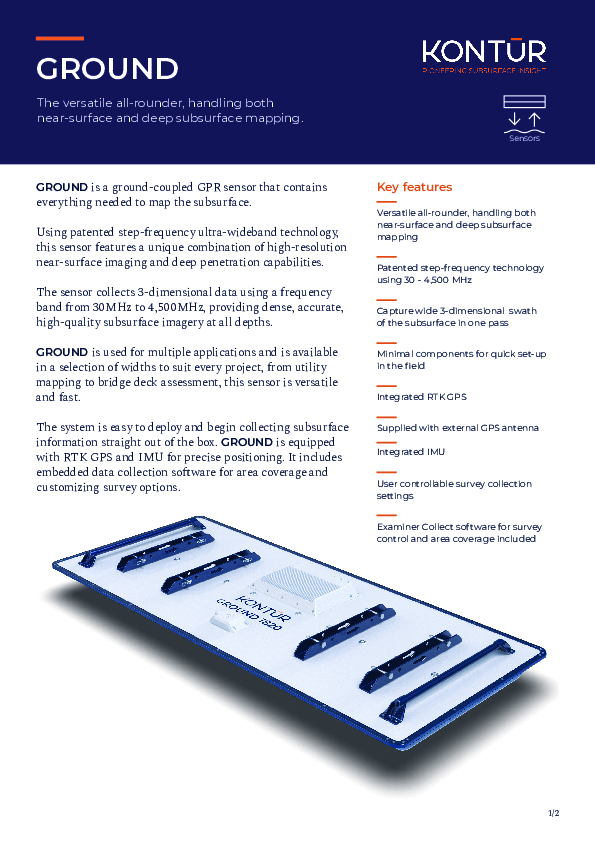
GROUND is a ground-coupled GPR sensor that contains everything needed to map the subsurface. Using patented step-frequency ultra-wideband technology, this sensor features a unique combination of high-resolution near-surface imaging and deep penetration capabilities. The sensor collects 3-dimensional data using a frequency band from 30MHz to 4,500MHz, providing dense, accurate, high-quality subsurface imagery at all depths.
GROUND is used for multiple applications and is available in a selection of widths to suit every project, from utility mapping to bridge deck assessment, this sensor is versatile and fast. The system is easy to deploy and begin collecting subsurface information straight out of the box. GROUND is equipped with RTK GPS and IMU for precise positioning. It includes embedded data collection software for area coverage and customizing survey options.
Documents


