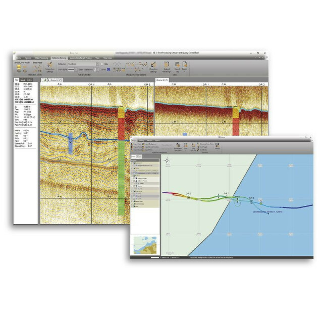
ISE Post-Processing Software
Innomar ISE is a powerful but user-friendly and easy-to-use post-processing software for data acquired using Innomar's parametric sub-bottom profilers.

INNOMAR Technologie
Rostock, DE
Description
Innomar ISE is a powerful but user-friendly and easy-to-use post-processing software for data acquired using Innomar's parametric sub-bottom profilers:
- Processing of all Innomar data formats: SES, RAW, SES3 (limited)
- Intuitive handling of 2D data sections with free zoom levels
- View/process single data files
- Batch file processing
- GIS map synchronized with seismic section view (cursor, track cross-points, picked targets and ground-truth positions).
- Processed and interpreted data can be exported into various industry-standard data formats, including ASCII, DXF, 3D grids.
The new ISE3 has some additional features:
- Similar "look'n'feel" as the Innomar SESWIN on-line control and data acquisition software.
- Project-based workflow, but can also be used to view/process single data files.
- Integrated GIS-browser builds the file handling base.
- Improved GIS map
- Processing of all Innomar data formats, native SES3 support.
- Handling of 16/24/32-bit and multi-channel data files.
- Undo / redo.
Do you have questions about this product?
- Questions about price, availability, and/or retailers
- Questions about technical specifications and usage
- Questions about suitability for your project or application
Specifications
-
Hardware/software requirements
-
Field of Use
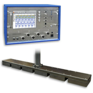
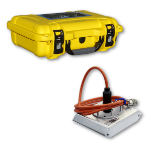
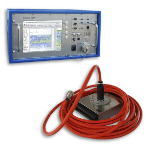
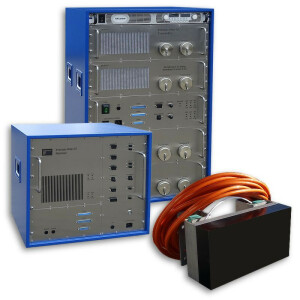
Post-processing of Innomar SBP data.
Languages Supported
English
Stereo Display
N
-
General
-
Year of last update
2023
Year of initial introduction
1997
Operator license needed
yes
Product Brochure
yes
Product manual
yes
Supported operation system
Windows
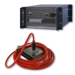
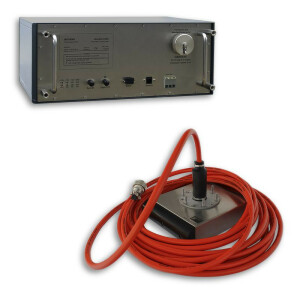
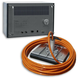
Supported Systems (SB, MB, SSS, Lidar etc.)
Innomar SBPs
-
Processing
-
Sound velocity correction
Single profile support
Sound velocity correction type
Distance + Time
Tidal reduction
Tide, RTK-tide
Mulitbeam Calibration mehods
Manual editing capability
Y
Lay-back correction
N
Siant range correction
Y
Mosaic creation
N
Mosaic creation algorithms
n/a
Video integration
N
Assessment of bathymetry IHO Cat S-44
N
Multibeam water column imaging support
N
Type of automatic cleaning algorithm(s)
n/a
Multibeam Backscatter Processing Functionality
n/a
-
Geodetic Functionality
-
Geographical Coordinates {Lat, Long}
Y
Ground Coordinates {E,N}
Y
Seven Parameter shift supported
Y
Local datum support
Y
-
Product Generation
-
Automatic top of pipe calculation
Y
Automatic cross profile creation
Y
Contouring
Y
Export/Exchange options
ASCII, AutoCad, DXF, CODA, IVS Fledermaus
Combining bathymetry / terrestrial point clouds
N
Slope analysis
Y
Volume calculation
N
Dynamic event numbering
Y
-
Visualisation and Editing
-
2D Editing
Y
2D Visualization
Y
Fly-throughs support
N
3D fly-through movies {*.mov etc}
N
Area based 3D editing
N
4D support
N
Area based 3D View
n/a
3D View max number points
n/a
3D Integrated models
n/a
Sounding cleaning algorithms
despiking and denoising filters
4D fly through movies {*.mov etc.}
n/a
-
Files and Registering
-
Input Formates {XTF, XYZ, GSF etc}
SES, RAW, SES3
Supported Hydrographic Systems
Innomar sub-bottom profilers
More from INNOMAR Technologie
