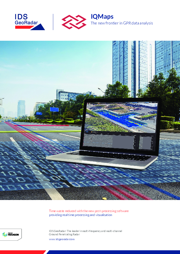
IQMaps
The new frontier in GPR data analysis
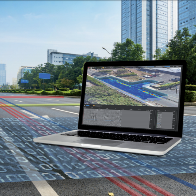
IQMaps is a new post-processing software application for advanced GPR data analysis, which provides a fast interfacing between the user and the GPR data. Machine time has been reduced and, contemporarily, real-time processing, advanced target management and 3D visualization have been introduced.
IDS GeoRadar North America
Golden, US
Description
IQMaps provides a step by step approach to guide the user in performing the best and the quickest data analysis with the help of a customisable processing and analysis tool, both for skilled and not skilled users for utility mapping, archaeological and environmental surveys and extensive mapping of large size projects.
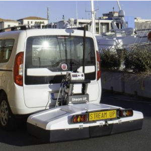
IQMaps is now available for the whole IDS GeoRadar Stream family!
FEATURES AND BENEFITS
- Revolutionary interface
Allows an immersive reality during post-processing phase
- Large areas acquisition
There is no limit in software use even for acquisition of large areas
- User friendly
Ease of use and productivity have been dramatically increased (up to 30.000 sqm in a working day)
- Georeferenced data
The new software has been developed with the precise aim to elaborate a georeferenced data after that it has been processed
- Data easy to be managed
Intuitive interface with data ease to use and to be managed (scroll, pinch, spread)
Specifications
-
General
-
Application
Deliverable vector products [2D and 3D]
Laptop / Office computer (post processing)
Y
Main design elements
software
Options for delivery
Processing type
Post-processing
-
Data Processing
-
Connections
Depth and hyperbola fitting
Yes
Multilingual interface
Yes
Integrated GPS information in the data file
Yes
Ground Penetrating Radar Multiple Channels
Yes
-
Software
-
3D GPR Processing Tool
Import and process data automatically
-
Processor and Storage
-
Processor Bit
Documents
Brochure
ids-georadar-iqmaps-fly-0320-en-web.pdf
2.65 MB
Related products


