Join 40,000+ geospatial professionals and get technology news delivered straight to your inbox every week. Subscribe today.

Description

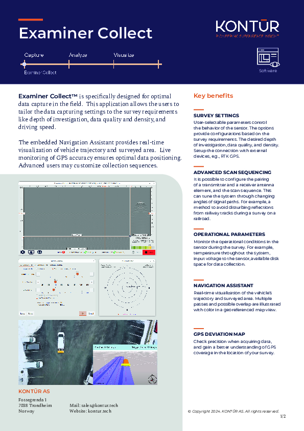
Examiner Collect™ is specifically designed for optimal data capture in the field. This application allows the users to tailor the data capturing settings to the survey requirements like depth of investigation, data quality and density, and driving speed.

The embedded Navigation Assistant provides real-time visualization of vehicle trajectory and surveyed area. Live monitoring of GPS accuracy ensures optimal data positioning. Advanced users may customize collection sequences.

Documents
Brochure
Kontur_ExaminerCollect_ProductSheet.pdf
620.37 KB
Kontur_ExaminerCollect_ProductSheet.pdf

Ask a question

We are happy to assist.

Daniël Haanskorf Peter Tapken Sjors Kloosterman

We're available on all weekdays and usually reply within 1-2 working days.

Please provide detailed information.

Let us know a little about you and your contact information.

Do you represent a company or organization?

Before we proceed, would you be interested in subscribing to our newsletter?

By completing this form, you acknowledge and agree to abide by our Terms and Conditions, Privacy Policy and Cookie Policy.

Thank you for your message! Our team tipically to respond to inquiries within 1-2 business days.