

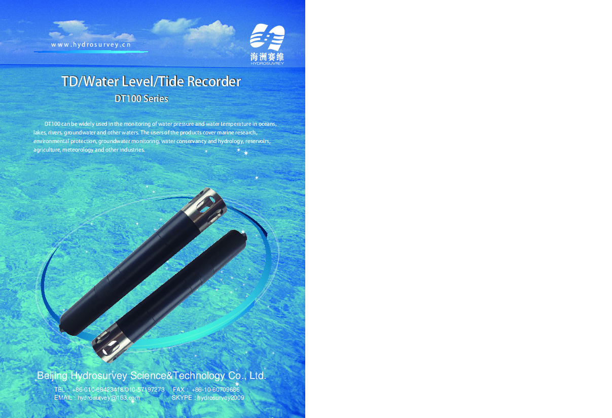
DT100 series TD/Water Level/Tide Recorder
DT100 series TD/Water Level/Tide Recorder
DT100 series TD/Water Level/Tide Recorder adopts imported high-precision titanium pressure sensor and supports both self-recording and online modes of operation. The user can set the data collecting interval of water pressure and temperature, automatically record and store, or directlyread the data through cable. With independent high-precision temperature sensor, water temperature data can be recorded while accurately recording the water level.
Beijing Hydrosurvey Science&Technology Co., Ltd.
Beijing, CN
Description
DT100 series TD/Water Level/Tide Recorder adopts imported high-precision titanium pressure sensor
and supports both self-recording and online modes of operation. The user can set the data collecting
interval of water pressure and temperature, automatically record and store, or directlyread the data
through cable. With independent high-precision temperature sensor, water temperature data can be
recorded while accurately recording the water level. The open-type top protector can be replaced for
sampling frequencies up to 16 Hz and can be used for automatic recording of depth and depth profiles.
With DT100's powerful software, the user can set different parameters, generate the curve report and
export spreadsheet, convert water level data in various units, etc. And the software realizes the verification,
precision calibration and maintenance of the instrument.
DT100 series TD/Water Level/Tide Recorder is designed to be ultra-low power consumption. The
instrument can be used continuously for more than 2 years when it is set to collect data every hour. At the
same time, the battery can be replaced easily by the user. External power can be used for online mode,
which lowers internal battery power consumption.
Specifications
-
General
-
Length [m]
0.26
Width [m]
0.04
Weight [kg]
1.2
Material
POM/316L stainless steel / titanium
Water sand and dust proof
Depth ranges: 10m,30m,100m;Accuracy: 0.05%FS(-5℃-40℃)
Radar, Pressure or Sonar
Pressure
-
Operation Characteristics
-
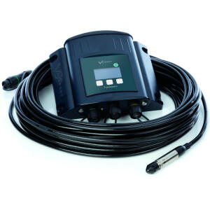
Mounting possibilities
With replaceable open top protective sleeve
-
Power
-
Min. external power [Voltage]
5
Max. external power [Voltage]
10
-
Interfaces, connectivity and other sensors
-
Display
No
RS232 interface
No
RS485 interface
Yes
Temperature sensor
Y
Temperature sensor accuracy [°C]
0.03
Other sensors, interfaces and connectors
Lemo 6-in
-
Environmental
-
Temperature: min [°C]
-5
Temperature: max. [°C]
40
Temperature Accuracy [°C]
0.03
-
Data management
-
Averaging period of measurements
10 Hz, Record data set: 170 thousand sets of data /M
Internal memory
Y
Max. storage size
32M, 64M, 128M optional
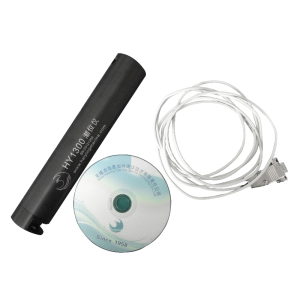
Included software
The DT100 supplies with comprehensive PC-program for easy communication, programming and presentation/processing of data. All settings like measuring interval, real time clock, data download, form generation etc, are accessed via software menu.
Documents
Brochure
dt100-series-td-waterleve-tide-recorder-en.pdf
1.84 MB
Related products


