


Correlator3D
High-End Mapping Software
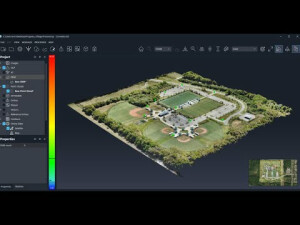
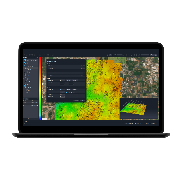
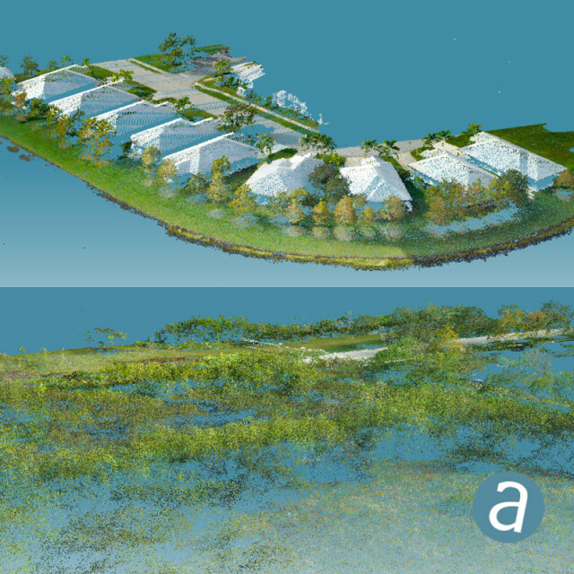
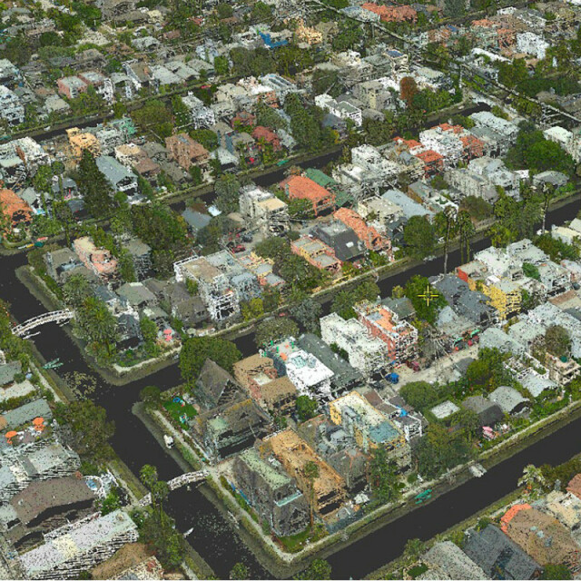
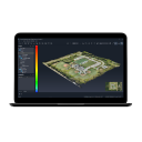
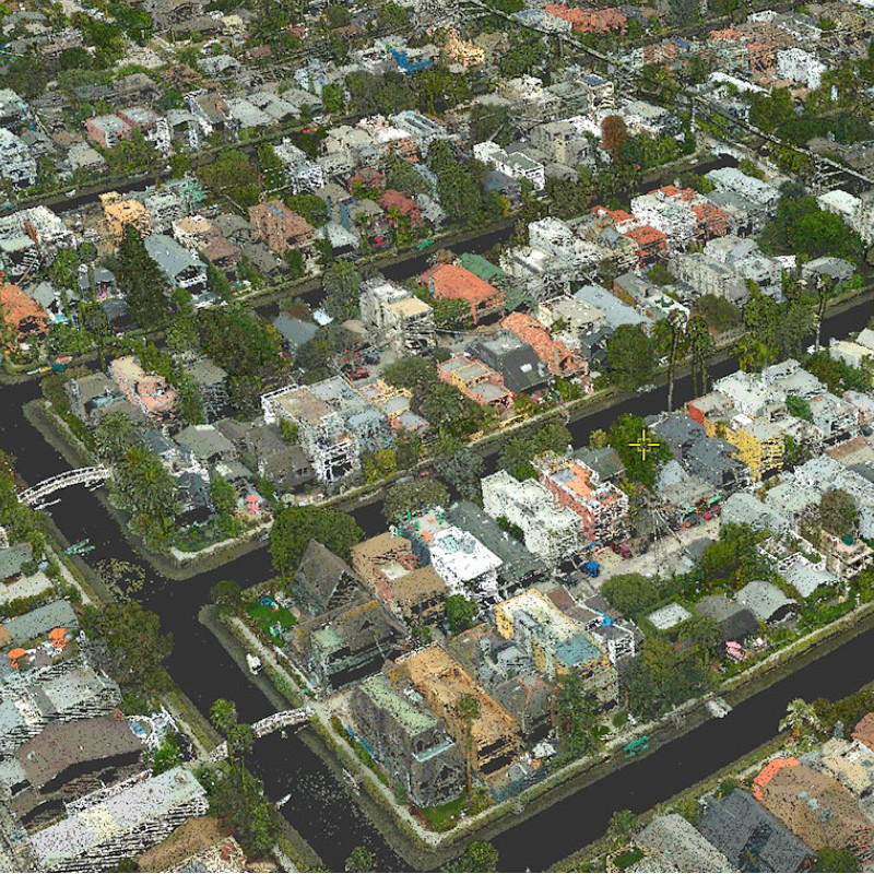
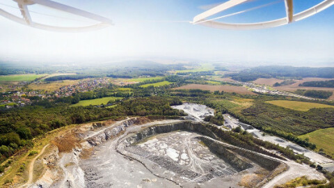
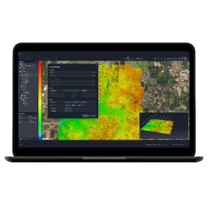
SimActive’s Correlator3D software is a patented end-to-end photogrammetry solution for the generation of high-quality geospatial data from satellite and aerial imagery, including UAVs. Correlator3D performs aerial triangulation (AT) and produces dense digital surface models (DSM), digital terrain models (DTM), orthomosaics, 3D models and vectorized 3D features.

SimActive
Montreal, CA
Description
SimActive’s Correlator3D software is a patented end-to-end photogrammetry solution for the generation of high-quality geospatial data from satellite and aerial imagery, including UAVs. Correlator3D performs aerial triangulation (AT) and produces dense digital surface models (DSM), digital terrain models (DTM), orthomosaics, 3D models and vectorized 3D features. Powered by GPU technology and multi-core CPUs, Correlator3D ensures matchless processing power to support rapid production of large datasets.
Do you have questions about this product?
- Questions about price, availability, and/or retailers
- Questions about technical specifications and usage
- Questions about suitability for your project or application
Specifications
-
Feature Extraction and Mapping
-
Mapping facilities
Y
Semi-automatic corner point extraction
Y
Semi-automatic line feature extraction
Y
Semi-automatic building extraction
Y
3D superimposition
Y
-
Required Computer System
-
System includes hardware
N
Operating system(s)
Windows 7 or 8 (64-bit)
CPU (min.)
Intel® Core™2 Duo processor or higher
CPU (preferred)
Intel i7
Preferred RAM memory [Mb]
12000
64-bit version of software available
Y
Min. graphic card
NVIDIA® GeForce
Hardware handling of big data sets
Nvidia GTX 770 or higher
Supported special hardware
No
User definable operations and extensions
Yes
Min. RAM memory [Mb]
8000
Distributed processing capacity
Y
GPU based calculations
Y
Min. data storage capacity [Gb]
512
Preferred data storage capacity [Gb]
512
-
Images and data
-
Source data
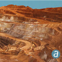
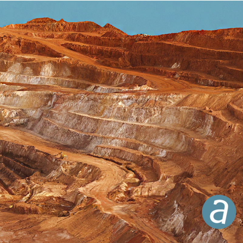
Aerial (medium, large format, scanned films, pushbroom)UAV (any non-metric camera)Satellite (through RPCs)
Input image formats
.tif, .jpg, .bmp
Export data formats
.asc, geotiff, .las
-
DEMs & Orthoimages
-
Automatic matching
Y
Automatic breakline extraction
Y
Checking facilities (DEM editing)
Y
Automatic contour generation
Y
Mosaicing of orthoimages
Y
True orthoimage generation
Y
Dense DSM creating capability
Y
DSM to DTM filtering
Y
Automatic seam line creation
Y
-
General
-
Year of introduction
2003
Year of last update
2023
Modular
Yes
Regional settings available
No
License configuration
Node-locked
-
Orientation and triangulation
-
Automatic interior
Y
Relative
Y
Automatic aerotriangulation
Y
Automated blunder detection
Y
Self calibration
Y
-
Measurement tools
-
Length
Y
Area
N
Volume
N
-
Image manipulation & processing
-
Automatic contrast manipulations
Y
Spatial convolution
Y
Resampling
Y
Radiometric corrections
Y
Radiometric adjustment for mosaicing
Y
-
More information
-
Main applications
Aerial Triangulation, DSM Generation, DTM Extraction, DEM Editing, Orthorectification, Mosaic Creation, Mosaic Editing, Feature Extraction, 3D Models Generation
Distinguishable features
Powered by GPU technology and multi-core CPUs, Correlator3D™ ensures matchless processing speed to support rapid production of large datasets
Documents
Brochure
correlator3d-booklet-2018-onlineversion.pdf
1.5 MB
Other documents
-
Correlator3D Booklet (2)1.5 MB
-
Correlator3D Leaflet (2)911.72 KB
Videos

