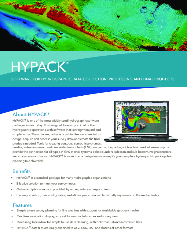
HYPACK MAX
Software for Hydrographic Data Collection, Processing and Final Products
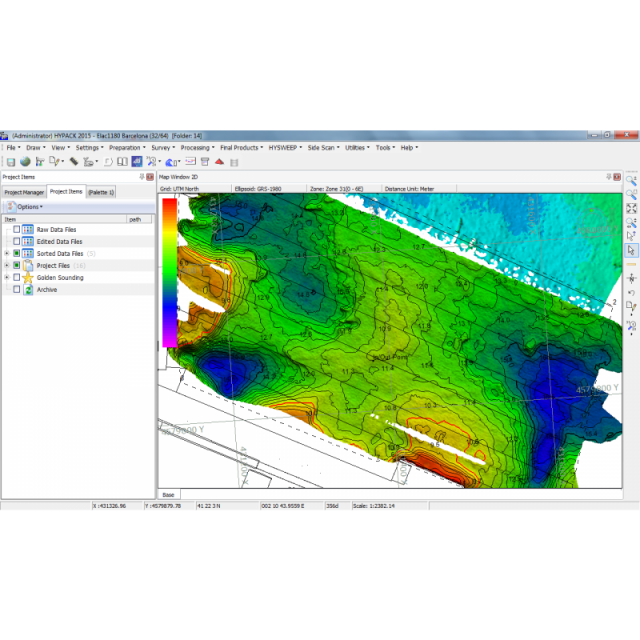
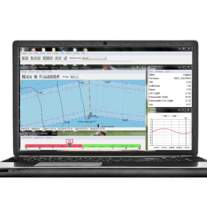
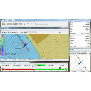
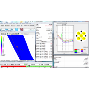
HYPACK's standard package. It has everything you need to design your survey, collect your single beam data, process it and generate final products, such as contours, plotting sheets, output for CAD, fly-through views, cross-sections and volumes calculations.

HYPACK, A Xylem Brand
Middletown, US
Description
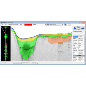
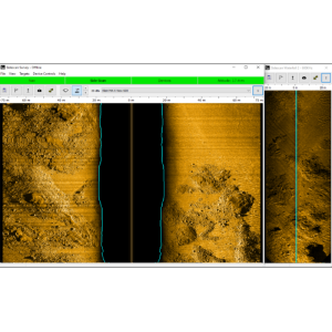
Our standard package. It has everything you need to design your survey, collect your single beam data, process it and generate final products, such as contours, plotting sheets, output for CAD, fly-through views, cross sections and volumes calculations. The sidescan sonar, subbottom, adcp and magnetometer collection and processing modules are standard features of HYPACK® MAX. You’ll need to add a HYSWEEP® license to include the modules for multibeam data collection and processing.
Do you have questions about this product?
- Questions about price, availability, and/or retailers
- Questions about technical specifications and usage
- Questions about suitability for your project or application
Specifications
-
Hardware/software requirements
-
RAM [MB]
4000
HD{GB}
1
Processor
[]
Field of Use
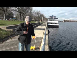
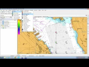
Hydrographic Surveys, Barge Positioning, Construction, archeology, Navigation, Offshore Surveys and Dredging.
Languages Supported
English, Spanish, French, Russian, and many more!
-
General
-
Year of last update
2022
Year of initial introduction
1984
Modules
Our standard package. It has everything you need to process your single beam data, side scan, magnetometer, Subbottom and generate final products, such as contours, plotting sheets, output for CAD, flu-through views, cross sections and volumes calculations. The sidescan sonar, subbottom, adcp and magnetometer collection and processing modules are standard features of HYPACK® MAX. You will need to add a HYSWEEP® license to include the modules for multibeam data collection and processing.
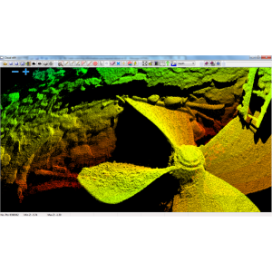
Supported Systems (SB, MB, SSS, Lidar etc.)
HYPACK® MAX supports a wide range of hydrographic equipment including Single Beam Echosounders, Side Scan Sonar, Subbottom ADCP, Pipe and Cable Trackers, Magnetometers, GPS, Motion Sensors, etc.
-
Processing
-
Sound velocity correction
Single profile support
Sound velocity correction type
Time
Tidal reduction
Support tidal reduction network
Y
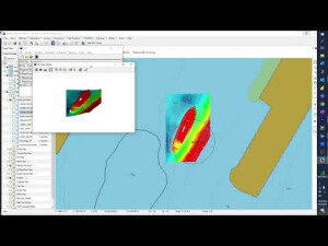
Gridding/Interpolation techniques
TIN and others
Grid attributes {Std., Mean, Max, etc.}
Minimum, Maximum, Range, Average, Nearest to Cell Center, Strikes, Best Angle, Samples Per Cell.
Lay-back correction
Y
Siant range correction
Y
Mosaic creation
Y
Mosaic creation algorithms
Proprietary
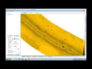
SSS Targeting
Yes
Video integration
N
Multibeam Backscatter Processing Functionality
Yes
Manual editing capability
Y
Mulitbeam Calibration mehods
Multibeam water column imaging support
Y
Type of automatic cleaning algorithm(s)
Y
-
Geodetic Functionality
-
Supported coordinate systems
Over 100 International and US pre defined grids, including WGS84, NAD27, Sate Planes (US), Geoid Models, V-Datum, and User Defined.
Geographical Coordinates {Lat, Long}
Y
Ground Coordinates {E,N}
Y
Seven Parameter shift supported
Y
Supported vertical reference frames
Yes
Separation model for vertical datum shift support
Y
Local datum support
Y
Ellipsoidal reference support (GRS80)
Y
-
Product Generation
-
Dynamic event numbering
Y
Automatic cross profile creation
Y
Volume calculation
Y
Contouring
Y
Sounding Selection methods
Y
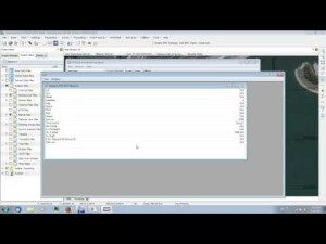
Export/Exchange options
XYZ, XTF, TIFF/GeoTIFF, ASCII, DXF, BMP, KML, Screen Captures, AVI.
Combining bathymetry / terrestrial point clouds
Y
-
Visualisation and Editing
-
2D Editing
Y
2D Visualization
Y
Area based 3D View
Y
Documents
Brochure
hypack-brochure-0.pdf
2.03 MB
Videos


