Join 40,000+ geospatial professionals and get technology news delivered straight to your inbox every week. Subscribe today.

Digital Twins - Enabling More Sustainable Cities with Hybrid Data

1 hour
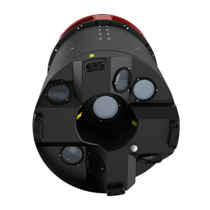
In the context of smart cities, 3D digital twins are the basis for all kinds of planning processes. To keep up with the fast change in cities, the data needs to be available more frequently and more efficiently. At the same time, the data has to be suitable for automated analysis and feature extraction. By combining LiDAR and imaging components into one sensor, hybrid systems enable the simultaneous capture of all required information to provide more reliable results. Hexagon has partnered with cities around the world to create 3D digital twins that are available on-demand for more informed and faster decision-making.
product-imagery-citymapper-webinar.jpg

Ask a question

Leica Geosystems Airborne Solutions team is happy to assist.

Leica Geosystems Airborne Solutions

We're available on all weekdays and usually reply within 1-2 working days.

Please provide detailed information. Your input helps Leica Geosystems Airborne Solutions assist you effectively.

Let us know a little about you and your contact information.

Do you represent a company or organization?

Before we proceed, would you be interested in subscribing to our newsletter?

By completing this form, you acknowledge and agree to abide by our Terms and Conditions, Privacy Policy and Cookie Policy.

Thank you for your message! Our team tipically to respond to inquiries within 1-2 business days.