


Georeference Lidar data with OxTS Georeferencer 2.0!
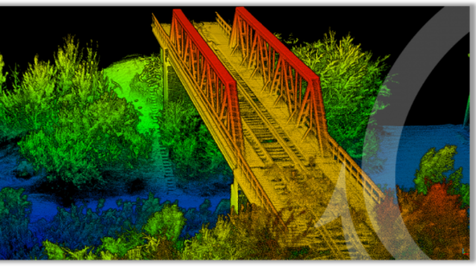
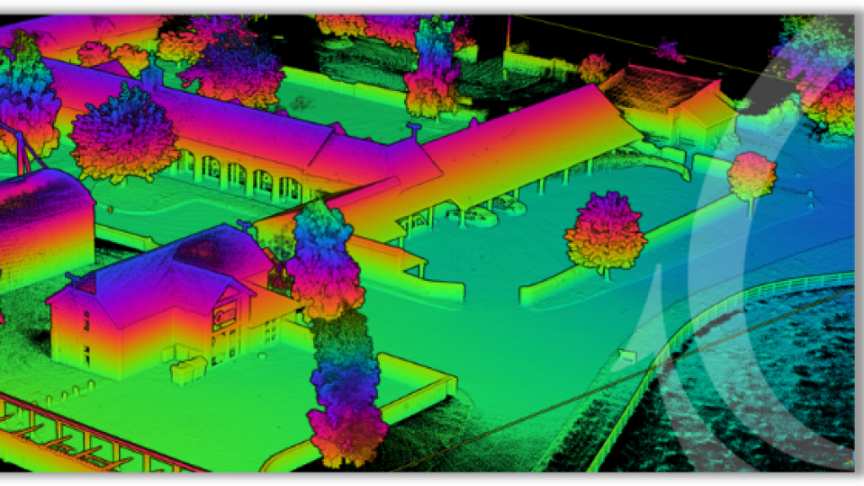
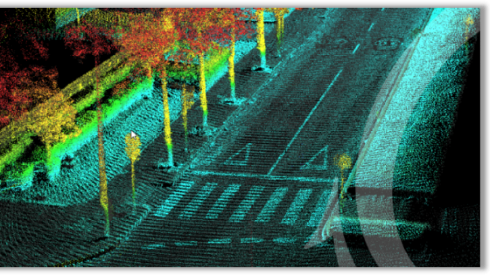
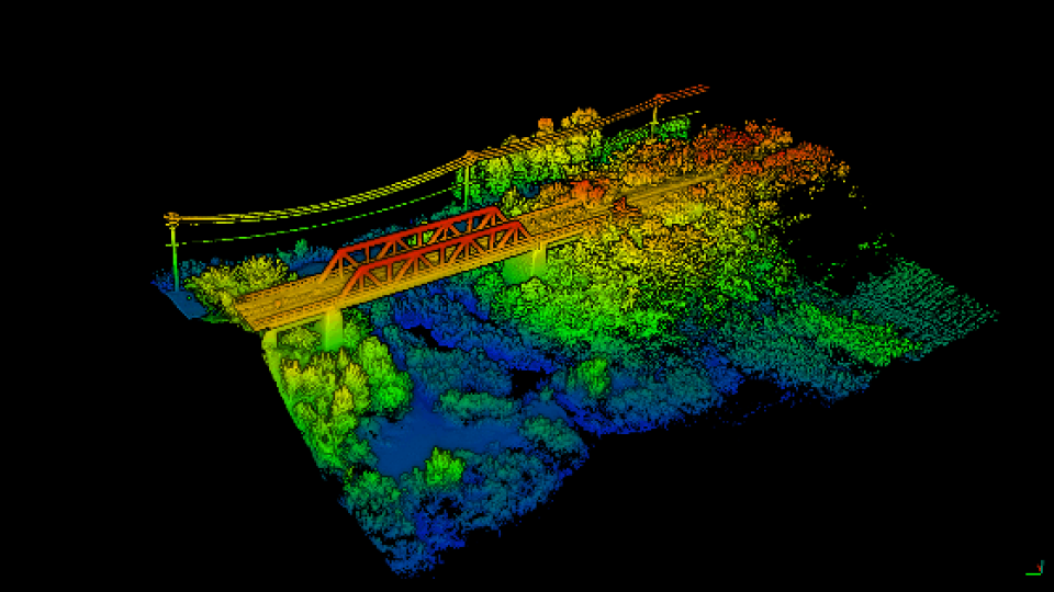
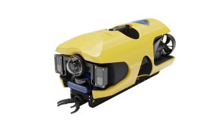
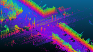
OxTS Georeferencer is OxTS' Lidar georeferencing software application that surveyors can use alongside any OxTS Inertial Navigation System (INS). Using OxTS Georeferencer, surveyors can quickly and easily georeference Lidar data from multiple sensors to create precise 3D point clouds.
Almost two years since OxTS Georeferencer was launched, and after several updates in between, OxTS Georeferencer 2.0 is now available.
Previous iterations of OxTS Georeferencer saw almost 30 new Lidar sensors integrated, as well as multiple user experience enhancements.
Version 2.0 includes several key improvements, particularly for professional Lidar surveyors. These include:
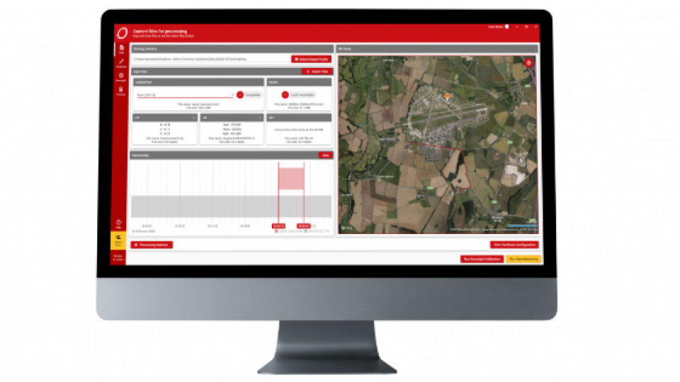
Global coordinates - OxTS Georeferencer 2.0 users can now process data in a range of coordinate systems. These include local coordinates, ECEF, and LLA (latitude, longitude and altitude).
New processing options - Users of OxTS Georeferencer 2.0 can maximise the usability of their point clouds and minimise data size through a range of processing options. These include:
- Filter points by position uncertainty keeping every point within a specified accuracy
- Maximise the accuracy of the data while minimising data size with a Voxel sampling algorithm
- Filter points by intensity, azimuth and elevation angle of the Lidar
- Filter points by speed and range from vehicle
Easier to create map files - OxTS Georeferencer 2.0 can add the direction from which each point is surveyed into the point cloud, allowing mesh surfaces to be easily reconstructed. Furthermore, OxTS Georeferencer 2.0 gives surveyors the ability to add point normal information into the pointcloud and view the vehicle trajectory as a pointcloud.
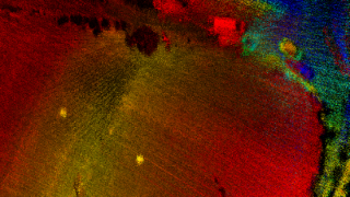
Processing advances - Users benefit from the best performance yet due to new revisions of the OxTS Georeferencer processing algorithms. Using version 2.0, users can process point clouds faster than ever before and take advantage of improved precision and consistency of the boresight calibration feature which now utilises target dimensions.
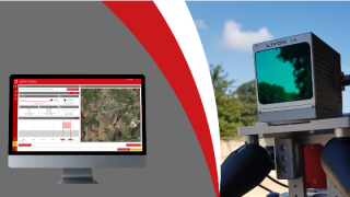
OxTS Georeferencer Product Video
Learn more about how OxTS Georeferencer can help you georeference your Lidar data by watching our short product video…
Want to learn more? Join the OxTS Georeferencer 2.0 webinar
Hear directly from the people who developed OxTS Georeferencer by joining our webinar at 14:00 hrs (GMT) on Tuesday, 15 March.
During the webinar we will discuss:
- How OxTS Georeferencer has evolved since its launch
- What the new features mean for professional Lidar surveyors
- Using OxTS Georeferencer alongside an OxTS INS
Do you have questions about this product news?
Get in touch with Oxford Technical Solutions - OxTS, and they would be happy to answer any questions you have about pricing, suitability, availability, specs, etc.


