Developments in GPS-Aided Inertial Navigation Systems (INS) for Remote Sensing
The latest progress in laser and microprocessor technologies have ignited an emerging generation of affordable and compact mapping solutions which are being employed by a number of businesses across industries including construction, agriculture, surveying, mining, and more. Nowadays remote sensing is performed on various moving bases including cars, drones and on robots like LS3 by Boston Dynamics. Automakers rushing to come up with the most efficient self-driving cars encourage to employ remote sensing technologies as never before.
Evolution of Remote Sensing
Remote sensing emerged more than 150 years ago, as balloonists took pictures of the ground using the recently invented photo cameras in the 1840s. Perhaps the most memorable breakthrough in the field at the end of the 19th century was the famous fleet of pigeons that operated as innovation in Europe, taking pictures with cameras attached to their bodies. By the First World War, cameras mounted on airplanes provided aerial views of vast surface areas that proved to be invaluable in military reconnaissance. The aerial photograph remained the single standard tool for imaging the surface up until the early 1960s.

Area Mapping
Perhaps area mapping is still the biggest domain for remote sensing. Making sense of the physical world by analyzing maps and 3D models allows businesses to make faster and more informed decisions that increase efficiency, profit and more importantly, improve safety. Few of the most often used bases it can be done on are a land vehicle or Unmanned Aerial Vehicles (UAV). Both options come with their own pros and cons.

Choose The Right Drone
Even though a land vehicle is able to cover vast areas, a disadvantage is that there are many places to be mapped are with impassable surfaces, like jungles or rocky mountains. With prices for UAV going down, it’s no surprise that drone use is on the rise as an alternative to capture aerial data and to generate accurate 3D models of surroundings.
| Multirotor | Fixed-Wing |
|---|---|
| Good at | Good at |
| Maneuverability | Flying range |
| Affordable price | Stability |
| Compact size | Vibration |
| Ease-to-use | Linear flight |
| Payload capacity | |
| Drawbacks | Drawbacks |
| Vibration | Larger take-off zone |
| Wind | Higher price |
| Flying Range | Challenging to fly |
| Size |
Importance of Precision LiDAR Point Cloud

Accurate precision point cloud is the most critical aspect of remote sensing. Reaching maximum accuracy of the point clouds over minimum times of surveying is an ultimate goal. Key requirement is reliability of gathered data and raw data accuracy. Depending on nature of your business you may need data transmitted in real-time, or need it belatedly for post processing. Ultimately, you’ll need to decide which approach is best for your business needs. In case of Real Time data output, you sacrifice accuracy. Highly accurate Real Time data gathering is possible, though would be more expensive to achieve. Generally, accuracy is expected to be poorer than after post-processing, especially measuring attitude. Some gather data solely for post processing, and even then precision is the topmost priority.

There is no one size fits all
Post-Processing Software
If your resources are invested in post processing, then you may slightly sacrifice point cloud accuracy while gathering data. There are several powerful software packages designed for post processing to compensate for lost points by extrapolating some amount of data. One example of such is Inertial Explorer® developed by NovAtel Inc. Waypoint Products Group. It’s a Windows-based suite of programs that provide GNSS (Global Navigation Satellite System) and inertial data post-processing. It may come preconfigured with aerial, land vehicle and marine processing profiles that help new customers get started quickly.

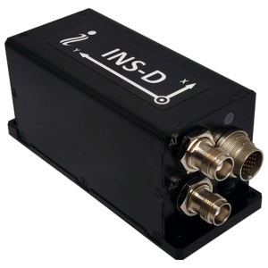
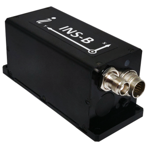
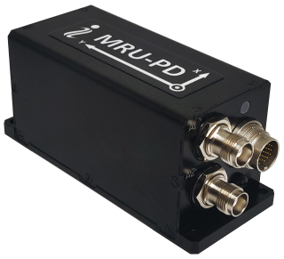
No matter what a moving base is suitable for your business, whether it’s a land vehicle or a drone, the core set of elements for remote sensing solution are, LiDAR and most importantly GPS-Aided INS with embedded data logger.
Do you have questions about this article?
Get in touch with Inertial Labs, Inc., and they would be happy to answer any questions you have about pricing, suitability, availability, specs, etc.


