

About YellowScan
At YellowScan we design, develop, and build UAV LiDAR solutions for professionals that require performance, robustness, and accuracy. Our hardware and software solutions are easy-to-use data collection tools that come with training and support from our experts. Founded in 2012 in the South of France, we now have sales and support offices around the globe. Our customers use our products worldwide in surveying, forestry, environmental research, archaeology, industrial inspection, civil engineering, and mining sectors.
For more information, please visit www.yellowscan.com
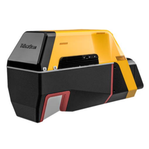
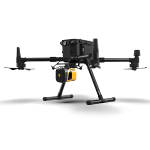
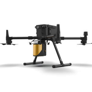
Featured products
Recent articles
““Welcome to YellowScan, where you’ll find a team of passionate people dedicated to designing innovative LiDAR solutions. Have a project in mind that needs solving? We’re here to help!””
YellowScan - Designed to Innovate

Main office
-
525 Avenue Saint-Sauveur du Pin
34980 Saint-Clément-de-Rivière
France -
+33 4 11 93 14 00
- https://www.yellowscan.com