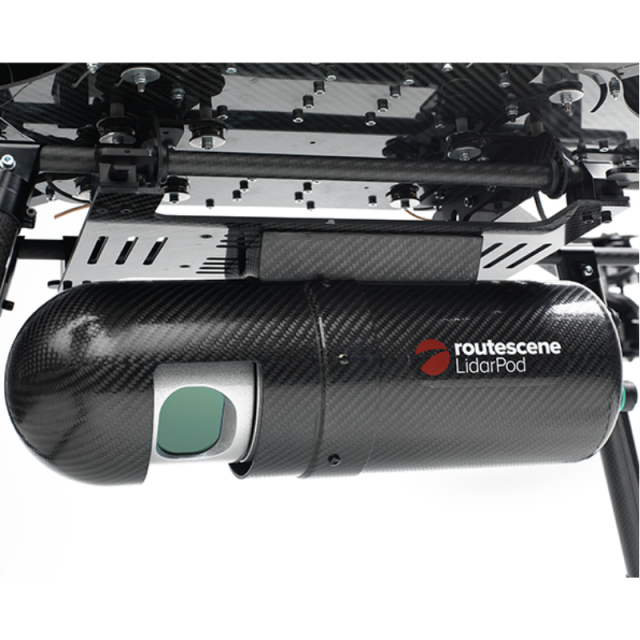
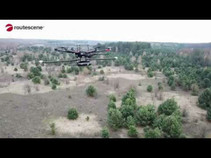
Routescene UAV LiDAR system
Survey-grade 3D UAV LiDAR mapping solution
We understand the problems you need to solve and have combined survey experience with intelligent thinking to design a reliable and practical solution. And we’ve made it simple. All the complex integration is complete. The result – an immediately operational, robustly engineered, survey-grade turnkey solution combining workflow methodologies, software, hardware and firmware.
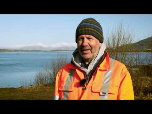
Routescene
Edinburgh, GB
Description
What’s in the package
“Out of the box” system so you are immediately operational including:
1. workflow methodologies – a “how to” manual to get you operational as fast as possible
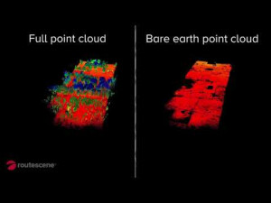
2. our powerful software LidarViewer® Pro to visualize, provide quality assurance and post-process your LidarPod® data
3. QA Monitor, a web based app, for immediate and continuous real-time in-flight data monitoring
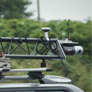
4. hardware
5. firmware
6. training and technical support
Contact us directly for further details: [email protected]
Specifications
-
Physical Properties
-
Height [cm]
32
Length [cm]
10
Width [cm]
10
Weight [kg]
3
Water and dust proof
yes
-
Laser Pulse Characteristics
-
Laser Class
Infra-red
Wavelength [nm]
905
-
Power Supply
-
Power consumption
Supply voltage: 12-48VDC to 56 W max, less than 28 W
Power requirements
Battery from UAV
Type of battery
Switchable power from UAV to Ground Supply
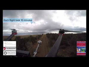
Operation time on single battery [minutes]
30
-
Operation Characteristics
-
Camera included
-
General
-
Year of last update
2019
Year of introduction
2014


