RECON-A
Lightest, Most Cost-Effective Lidar System on the Market
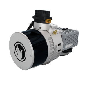
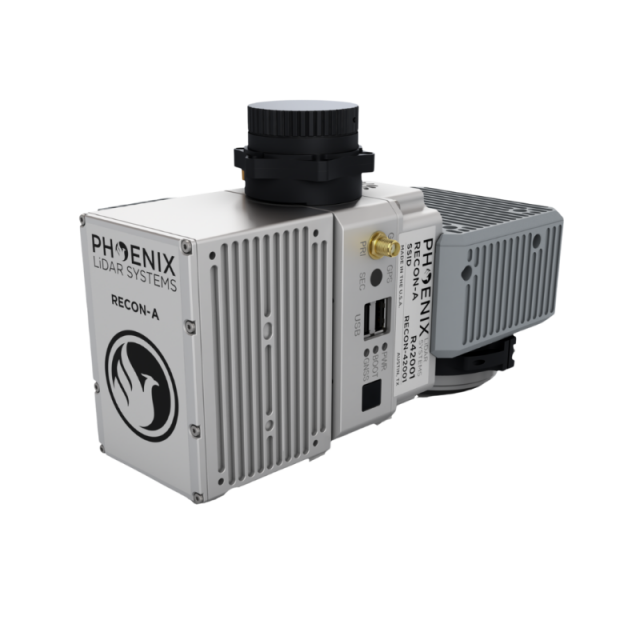
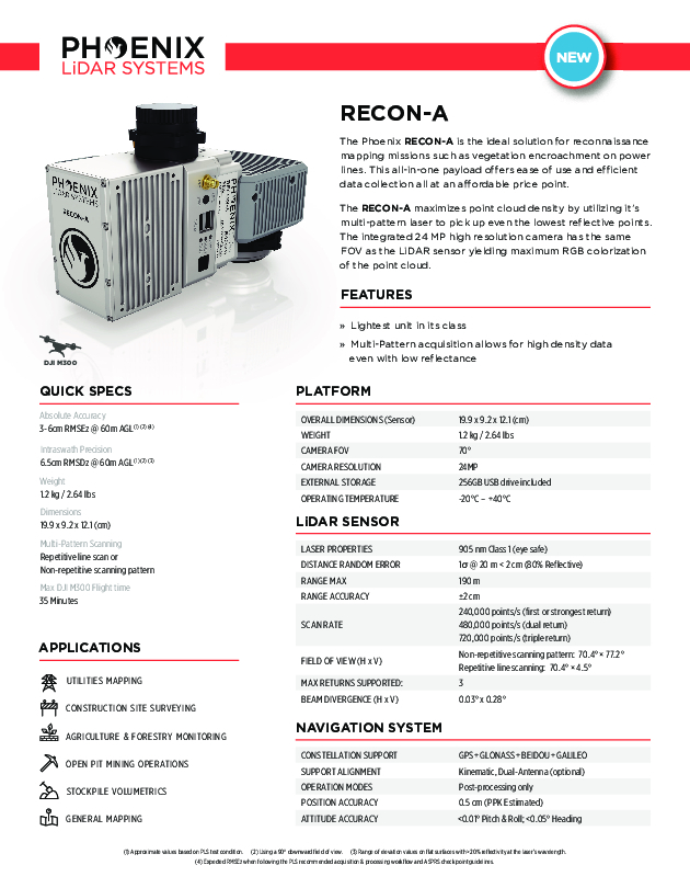
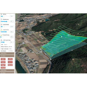
The Phoenix RECON-A is the ideal solution for reconnaissance mapping missions such as vegetation encroachment on powerlines. This all-in-one payload offers ease of use and efficient data collection all at an affordable price point. The RECON-A maximizes point cloud density by utilizing it’s multi-pattern laser to pick up even the lowest reflective points. The integrated 24 MP high resolution camera has the same FOV as the LiDAR sensor yielding maximum RGB colorization of the point cloud.
Phoenix LiDAR Systems
Austin, US
Description
The Phoenix RECON-A is the ideal solution for reconnaissance mapping missions such as vegetation encroachment on power lines. This all-in-one payload offers ease of use and efficient data collection all at an affordable price point. The RECON-A maximizes point cloud density by utilizing it’s multi-pattern laser to pick up even the lowest reflective points. The integrated 24 MP high resolution camera has the same FOV as the LiDAR sensor yielding maximum RGB colorization of the point cloud.
Do you have questions about this product?
- Questions about price, availability, and/or retailers
- Questions about technical specifications and usage
- Questions about suitability for your project or application
Specifications
-
Application
-
Main applications
Vegetation Penetration Utility Infrastructure Open Pit Mining Forestry Construction Site Monitoring Cultural Preservation Glacier & Snowfield Mapping Land Erosion
-
Measurement Characteristics
-
Scanning method
Repetitive, Non-repetitive Pattern
Scanning Speed [measurements p second]
720000
Max. field of view [degrees]
70
Max. number of recorded echoes per pulse
3
-
Physical Properties
-
Height [cm]
12.1
Length [cm]
19.9
Width [cm]
9.2
Weight [kg]
1.2
-
Laser Pulse Characteristics
-
Laser Class
Class 1
Wavelength [nm]
905
Max. range of laser pulse [m]
190
-
Positioning System
-
Number of GNSS positioning sensors
1
-
Operation Characteristics
-
Mounting
DJI Skyport V2
Camera included
Yes
Camera specifications
24MP
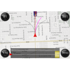
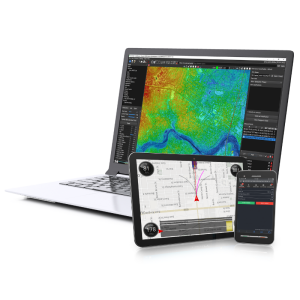
Control and user interface
Payload Web Interface
-
Data and Software
-
Type of storage
flash card
Max. storage space [mb]
256000
-
General
-
Year of last update
2021
Year of introduction
2021
Documents
Brochure
recon-a.pdf
1.4 MB
Other documents
-
RECON-A SpecSheet1.4 MB
Related products
