
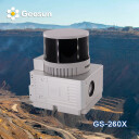
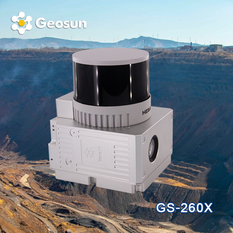
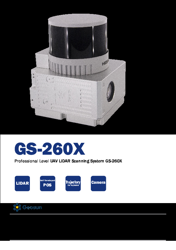
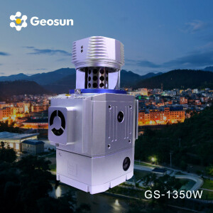
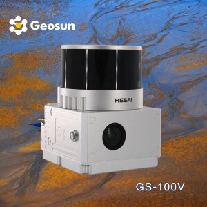
Geosun LiDAR GS-260X
Professional LiDAR Scanning System,Highly Integration,Versatile Applications, Cost-effective
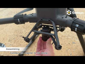
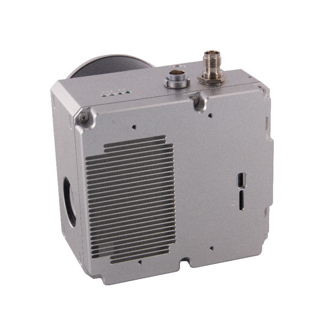
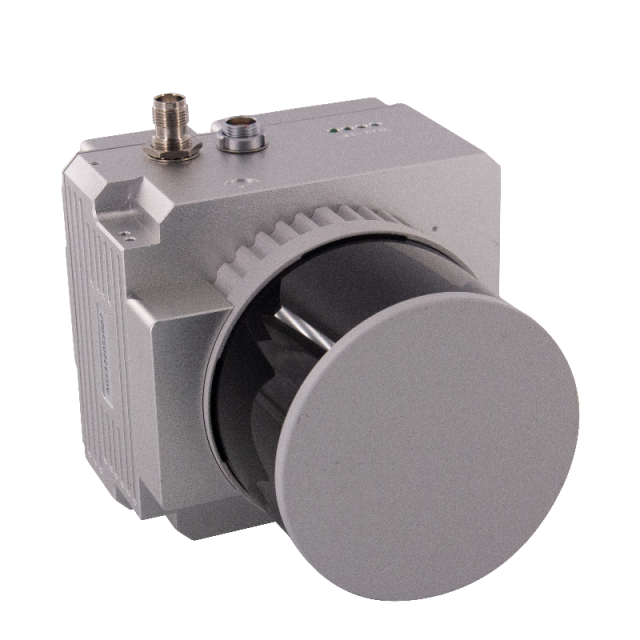
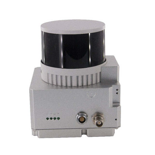
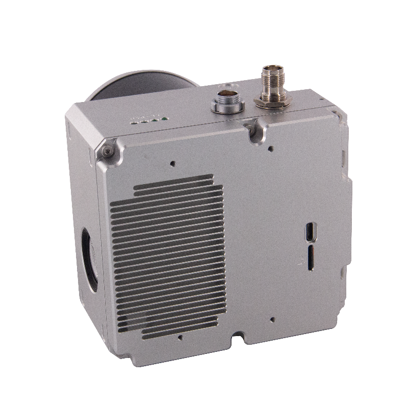
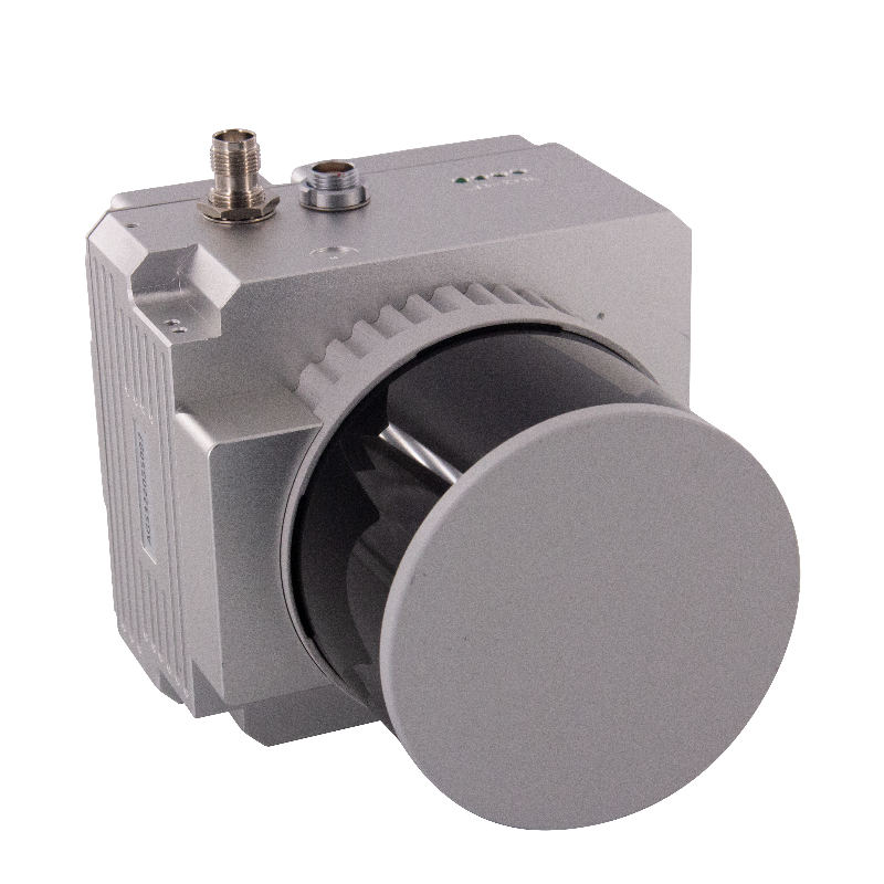
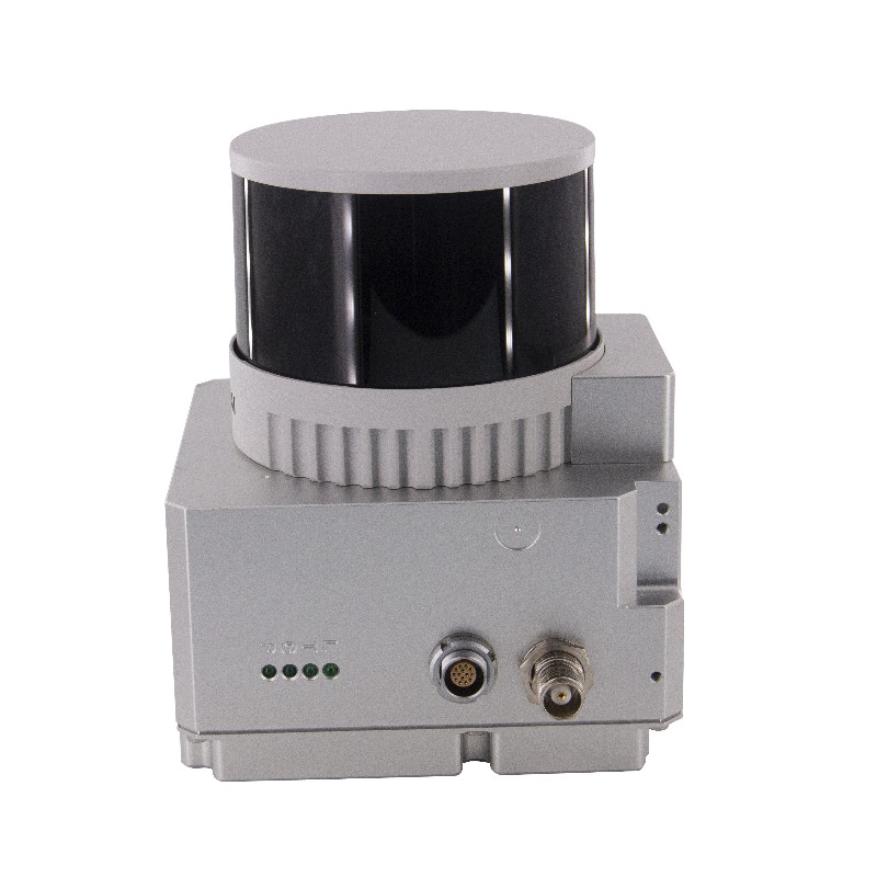
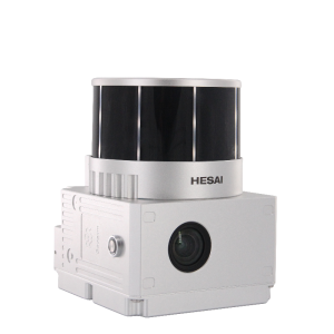
The GS-260X is a Lidar scanning system that is both lightweight and highly accurate. This system, weighing just 1.1kg, has a maximum range of 300m, allowing for longer operational periods. It can generate up to 1.92 million laser points per second and offers three echo modes, along with excellent penetration capabilities. Moreover, it is seamlessly integrated with a camera, enabling the simultaneous acquisition of point cloud data and images.

Geosun Navigation
Wuhan, CN
Description
|
LiDAR Scanning System gAirHawk GS-260X |
||
|
Item Name |
System Parameters |
|
|
GS-260X Parameters |
Weight |
1.15 kg |
|
Measuring accuracy |
Less than 0.1m/0.05m(@150m) |
|
|
Working temperature |
-20℃~+65℃ |
|
|
Power range |
12 V- 24 V |
|
|
Consumption |
10 W |
|
|
Carrying Platform |
DJI M300, M600 PRO and Other brand |
|
|
Storage |
64 GB storage, maximum support 128GB TF card |
|
|
Lidar Unit |
Measuring Range |
80m@10% Reflectivity (Max 300m) |
|
Laser class |
905nm Class1 (IEC 60825-1:2014) |
|
|
Channel |
32-Channel |
|
|
Range accuracy |
||
|
Scanning frequency |
10HZ, 20HZ |
|
|
data |
Trible echo 1,920,000 Points/Sec |
|
|
FOV |
360°, adjustable |
|
|
Laser sensor |
HESAI Pandar XTM2X |
|
|
POS Unit |
Update frequency |
200HZ |
|
Heading accuracy |
0.017° |
|
|
Pitch accuracy |
0.005° |
|
|
Rolling accuracy |
0.005° |
|
|
Position accuracy |
≤0.05m |
|
|
GNSS signal type |
GPSL1/L2/L5 GLONASSL1/L2 BDS B1/B2/B3 GAL E1/E5a/5b |
|
|
Pre-processing software |
POS software |
Output information: position, speed, attitude |
|
Point cloud software |
Output point cloud data format: LAS format, custom TXT format |
|
|
Camera (built-in) |
FOV |
83 Degree |
|
Effective Pixel |
26 Mega Pixel |
|
|
Trigger event |
Distance or Time trigger |
|
Do you have questions about this product?
- Questions about price, availability, and/or retailers
- Questions about technical specifications and usage
- Questions about suitability for your project or application
Specifications
-
Application
-
Main applications
Forestry, agriculture, mining industry ,autonomous vehicles, mapping, environmental monitoring, robotics navigation, measurement and inspection
Training, maintanence and support
A professional team provides training and technical support, 12 months warranty
Distinguishable features
Medium Range
-
Measurement Characteristics
-
Scanning method
32-beam
Max. number of recorded echoes per pulse
Double Echoes
Recording of intensity of return signal [bits]
1920
-
Physical Properties
-
Height [cm]
12
Length [cm]
14.4
Width [cm]
10.9
Weight [kg]
1.15
-
Laser Pulse Characteristics
-
Laser Class
905nm Class1 (IEC 60825-1:2014)
Beam divergence [mrad]
32
-
Power Supply
-
Power consumption
20W
Power requirements
12-24V
-
Positioning System
-
Type of GNSS positioning sensors
GPS L1/L2/L5,GLONASS L1/L2 BDS B1/B2/B3,GAL E1/E5a/E5b
-
Operation Characteristics
-
Camera included
Yes
Camera specifications
26 MP
Requirements for compatible UAVs
Yes
Mounting
Yes
-
Data and Software
-
Included software
POS software and point cloud software
-
General
-
Year of last update
2022
Year of introduction
2022
Documents
Brochure
gairhawk-gs-260x-0.pdf
3.5 MB
Videos

