
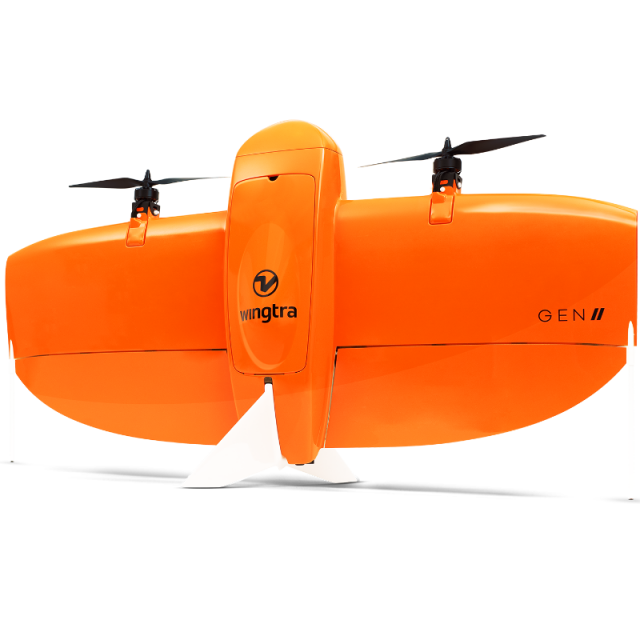
WingtraOne GEN II - Mapping and Surveying Drone
Mapping Drone for Fast and Accurate Photogrammetry Data Every Time
WingtraOne is an easy-to-use mapping drone that delivers consistent, high-quality survey data faster and at a lower cost than other surveying tools.
Wingtra
Zurich, CH
Description
Do a lot of work in a short time
With WingtraOne you get your data much faster than with other tools, even for large areas. You can collect data up to 2x times faster than with other fixed-wing drones and up to 8x times faster than with multicopter drones.
- Cut mapping time
- Reduce labor costs
- Move on with other projects
Get high-accuracy data every time
Thanks to years of continuous improvements, the WingtraOne drone consistently delivers data of high resolution and accuracy.
- GSD down to 0.7 cm/px (0.3 in/px)
- Absolute horizontal accuracy down to 1 cm (0.4 in)
A drone that's easy to use
WingtraOne’s simplified workflow and intuitive system allows surveyors with little to no drone flight experience to fly with confidence after minimal training.
- Small learning curve
- Complete bundle to start from day one
- Intuitive software and fully-automated flights
- Top-rated customer support
Tech specs
- Flight time: up to 59 minutes
- Best camera: Sony RX1R II 42 MP full-frame camera
- Best GSD: 0.7 cm/px (0.3 in/px)
- Best absolute horizontal accuracy: 1 cm (0.4 in)
- Flight speed: 16 m/s
- Minimum space needed to take-off and land: 2 m × 2 m (6.6 ft × 6.6 ft)
Specifications
-
Environment
-
Min. operation temperature [°C]
-10
Max. operation temperature [°C]
40
Max. wind speed [m/sec]
12
-
Imaging/scanning devices
-
Onboard imaging/scanning devices
RGB Camera
Type of Camera
RGB, multispectral
Build-in Stablilsation
Y
Exchangeable
Y
-
Platform
-
Brand
Wingtra
Propulsion
Battery
Platform
Aircraft
Max. stay in the air [min]
59
Max. speed [km/h]
58
Max. height above sea level [m]
4800
Max. payload [kg]
0.8
-
Operation Characteristics and Safety
-
Launching method
VTOL, Vertical take-off and landing
Automatic launch and landing
Y
Autonomous emergency landing
Y
Training provided
Y
Collision avoidance systems (CAS)
Y
-
Dimensions
-
ø / wingspan [cm]
125
Number of rotors
2
Transport on human back
Y
-
Base Station
-
Ground computer included
Y
Type of Ground computer
Tablet
-
Navigation Sensors
-
Correction services [PPK, RTK]
PPK
-
General
-
Year of last update
2021
Typical applications
surveying, mapping, mining, agriculture, construction, infrastructure
Product Name
WingtraOne GEN II
-
Included software and automatically generated
-
Flight planning software
WingtraPilot
Type of software included
Automatically Generated Products


