
Description
Specifications
-
Environment
-
Min. operation temperature [°C]
-15
Max. operation temperature [°C]
45
Max. wind speed [m/sec]
20
-
Imaging/scanning devices
-
Onboard imaging/scanning devices
RGB Camera
Type of Camera
calibrated prosumer full-frame; Zeiss lens
Additional Sensors and additional information
NIR and underwater mapping filters on SAME camera
Build-in Stablilsation
Y
-
Platform
-
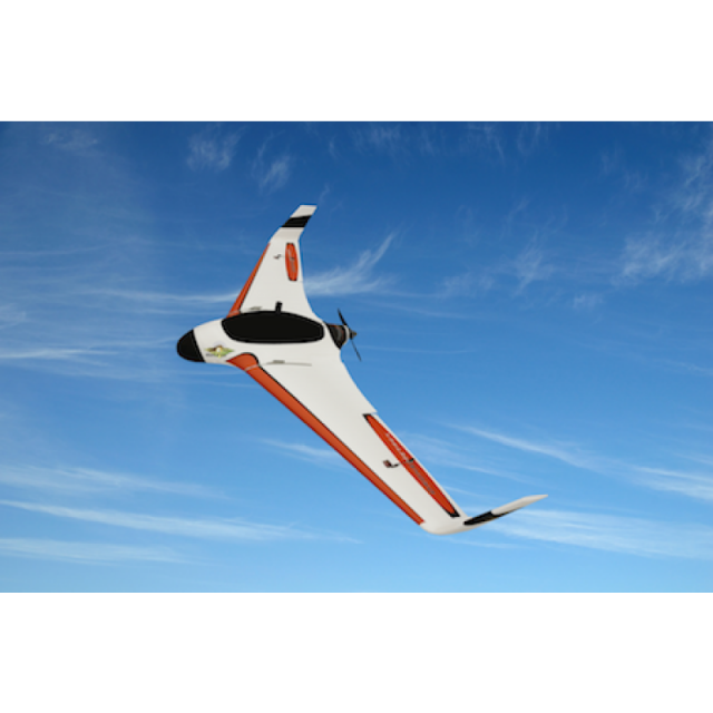
Platform
Aircraft
Brand
DroneMetrex
Max. payload [kg]
2
Max. stay in the air [min]
40
Max. speed [km/h]
80
Max. height above sea level [m]
500
Propulsion
electric foldable brushless propeller
-
Operation Characteristics and Safety
-
Launching method
catapult
Automatic launch and landing
Y
Training provided
Y
Collision avoidance systems (CAS)
N
Autonomous emergency landing
Y
-
Dimensions
-
ø / wingspan [cm]
200
Height [cm]
25
Weight [kg]
2
Weight of battery [kg]
0.845
Number of rotors
1
Transport on human back
Y
-
Base Station
-
Type of Ground computer
Optional: laptop or Motion R12 Rugged tablet
-
Navigation Sensors
-
Type of GNSS receiver and captured signals
L1/ L2/ Glonass/ BDS
Type of IMU
MEMS IMU
-
General
-
Year of last update
2014
Typical applications
photogrammetric mapping:surveys,mining,engineering
-
Included software and automatically generated
-
Type of software included
Flight planning
Flight planning software
Maptek FlightControl
Automatically Generated Products
3D Landscape Models, DEMs, Orthomosaics


